Practical Knowledge
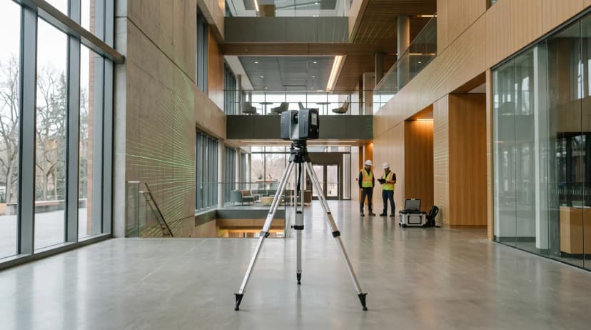
In-depth practical articles on virtual 3D tours, building surveys, construction documentation and visualisation – for everyone who wants to know what really matters before commissioning a project.
July 26, 2026
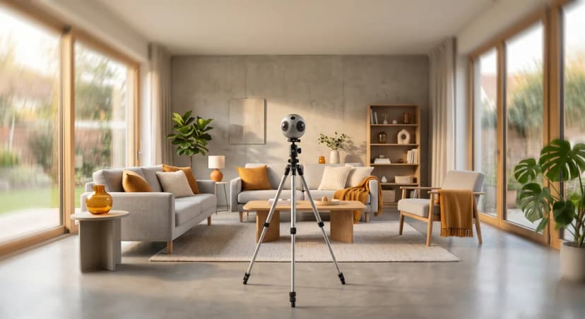
From 360° panorama to 3D scan: this guide explains in depth what virtual tours are, how they are created, where they are used, and what matters when it comes to quality, data protection, and choosing a provider.
Read more
July 26, 2026
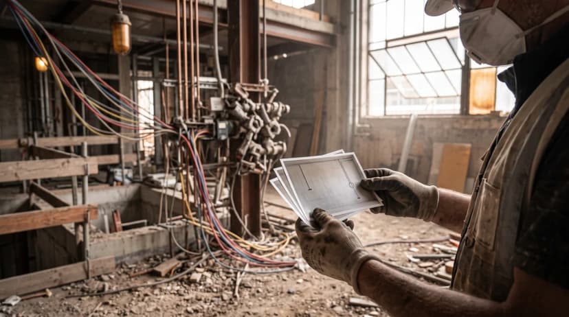
When a construction defect surfaces years after handover, proving what actually happened on site is harder than it should be. Here's why photos and paper logs fall short — and what closes the gap.
Read more
July 26, 2026
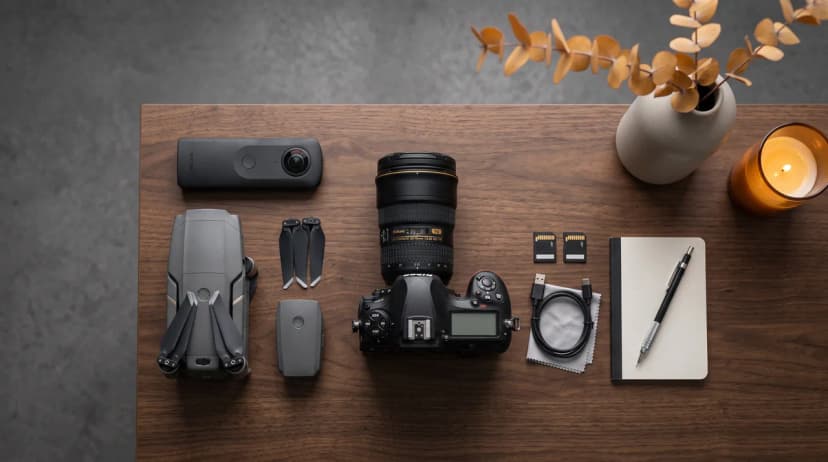
A construction site never stands still. Learn how combining DSLR photography, drone imagery, and 360° technology creates a systematic, legally sound documentation workflow from groundbreaking to handover.
Read more
July 26, 2026
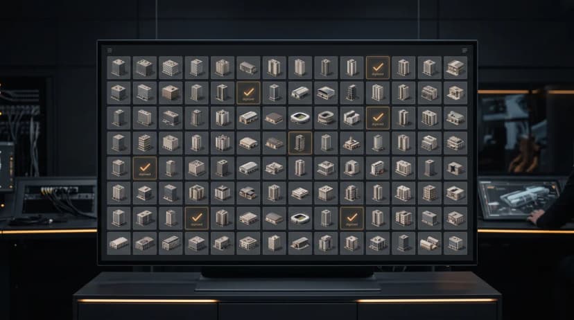
Scanning a single building is easy. Capturing an entire portfolio so the data stays comparable, findable and usable across systems for years is a programme, not a purchase. This guide covers prioritization, standardized capture specs, multi-year budgeting, data management, system integration and governance for portfolio digitization.
Read more

July 26, 2026
Viewer attention in a virtual tour is never distributed evenly across a property. Heatmap and dwell-time data reveal clear patterns in what buyers and tenants actually look at — and what they skip entirely.
Read more

July 26, 2026
Across many holiday rental projects, the same patterns repeat: what wins the booking, what protects your reviews, and why honest, accurate visuals outperform flattering ones over a full season.
Read more
July 26, 2026
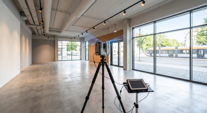
Across many commercial projects, a few patterns repeat: tricky lighting, tight access windows, and the need for documentation that serves lease negotiations as much as marketing. Here is what we have learned.
Read more

July 26, 2026
Across many residential projects, a handful of patterns repeat again and again. Here is what actually moves buyer interest — and what agents and developers keep getting wrong.
Read more
July 26, 2026
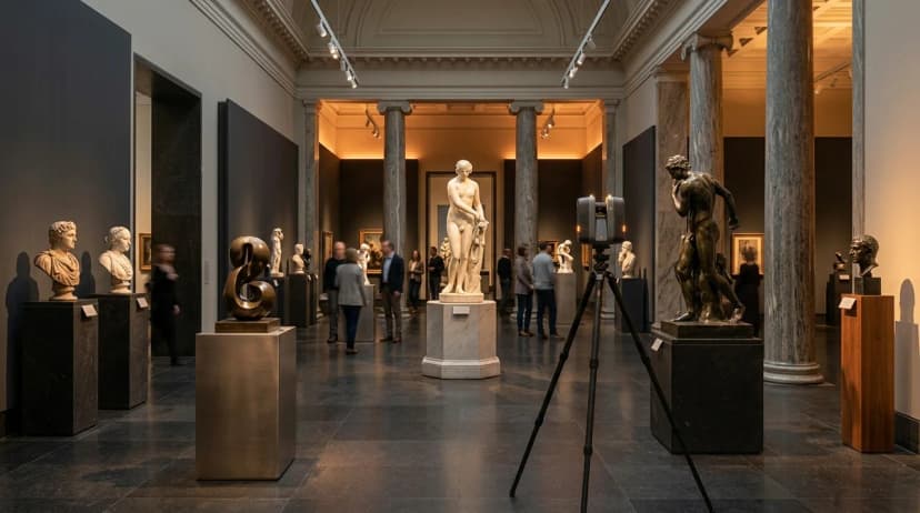
Museum capture is unlike any other assignment: irreplaceable objects, conservation-led lighting, and shared galleries. Here are the practical lessons that decide whether a cultural project succeeds.
Read more

July 26, 2026
Most real estate teams think of a virtual tour as a link they can embed on a listing page. But the link is only the interface. Behind it sits raw imagery, a point cloud, and derived floor plans — and who owns that data determines what you can do with it next.
Read more
July 26, 2026
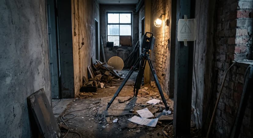
A flawed building survey runs through the entire project – from planning to final accounting. We reveal the ten most common mistakes when recording existing building stock and how you can reliably avoid every single one.
Read more
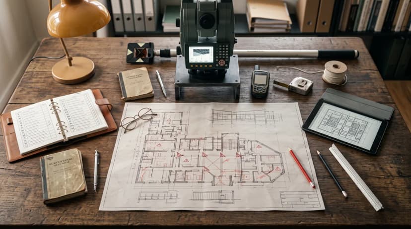
July 26, 2026
As-built plans often look more official than they really are. These seven warning signs reveal when a plan needs to be checked or resurveyed before anyone plans and builds on top of it.
Read more
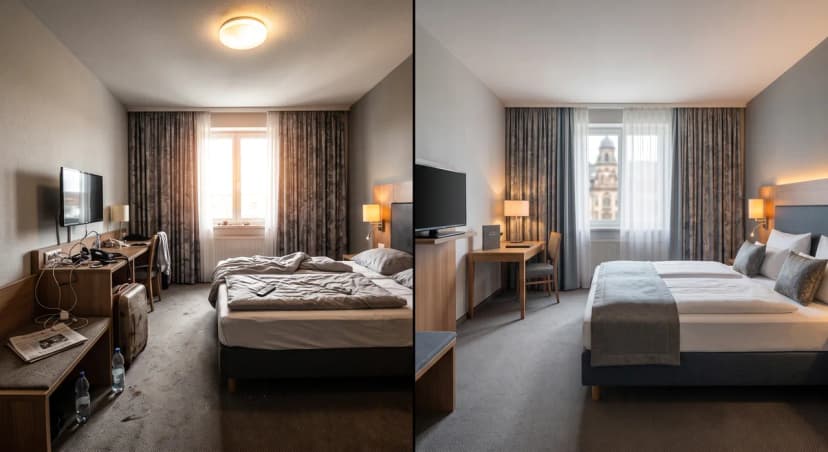
July 26, 2026
A virtual tour can drive bookings or burn budget. We reveal the typical mistakes in hotel tours and how to avoid them.
Read more
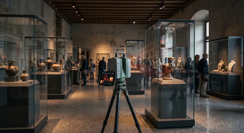
July 26, 2026
The 3D digitisation of collections rarely fails because of technology, but because of conceptual and organisational mistakes. This article shows the most consequential pitfalls for museums and how to set your project up to last.
Read more
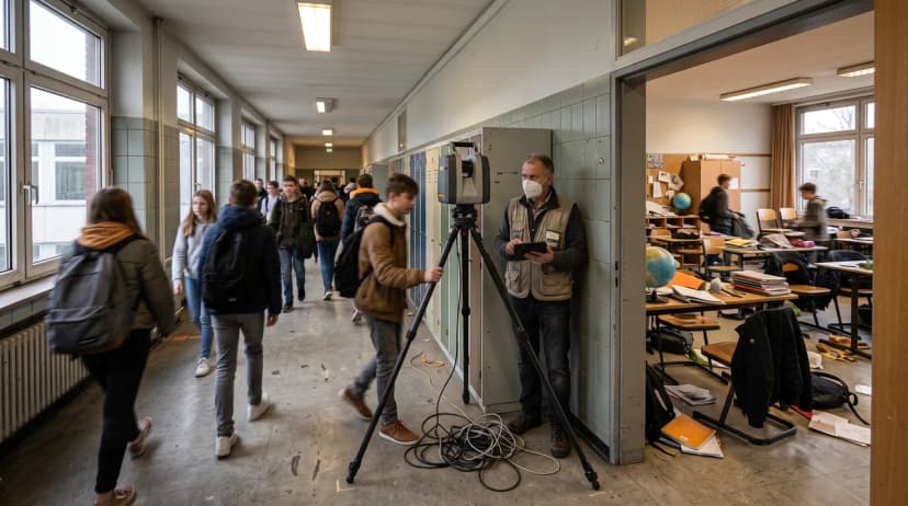
July 26, 2026
Surveying a school is more demanding than surveying an ordinary office building. Anyone who underestimates scheduling, child protection, building complexity and data formats ends up paying twice. An overview of the most common mistakes and how to solve them.
Read more
July 26, 2026
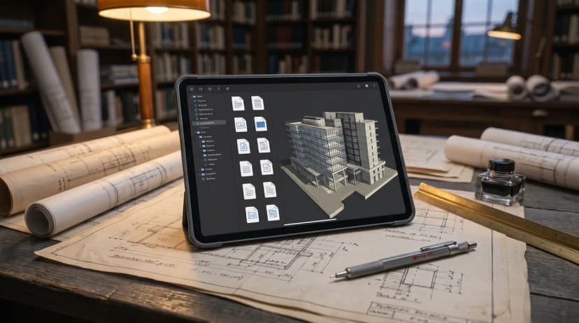
As-built plans, point clouds, maintenance records, warranty deadlines, energy and fire-safety documentation: the digital building file consolidates everything that describes a property across its life cycle. This guide shows what genuinely belongs in it, why paper archives fail at the moment of an ownership transfer or due diligence, and how to build a structured building file for an existing portfolio.
Read more

July 26, 2026
Marketing calls almost any 3D tour a 'digital twin'. We separate hype from substance: the four layers, honest maturity levels, and where the real value sits for facility and asset managers.
Read more

July 26, 2026
Virtual tours capture far more personal data than most agents realize. Here is what you need to know about GDPR, consent, blurring, and vendor contracts before you commission your next 3D scan.
Read more
July 26, 2026
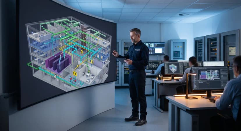
A building scan is where facility management begins, not where it ends. This guide shows FM teams how to enrich raw scans into a working operational asset.
Read more
July 26, 2026
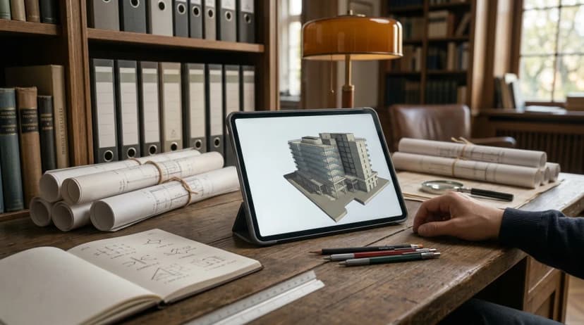
Most building documentation is incomplete long before anyone notices. This guide explains the difference between as-built and as-planned records, the methods that produce reliable data, and how to keep documentation current across a building's entire lifecycle.
Read more
July 26, 2026
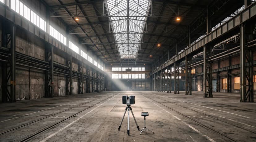
Large-volume spaces break the assumptions that standard room scanning relies on. Here is how facility and venue managers should plan capture projects for warehouses, halls, churches, and arenas.
Read more
July 26, 2026
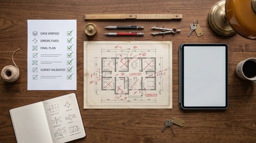
Whether it is a survey, planning documents, virtual tours or digitization projects, the same mistakes keep coming up. This overview brings together the typical pitfalls from every area and shows how to avoid them with simple means.
Read more

July 26, 2026
Specular highlights, blown-out reflections, and noisy scan data: high-gloss surfaces are the single hardest material category in property visualization. Here is how professionals actually handle them.
Read more
July 26, 2026
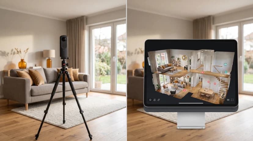
Both formats put a property online in 3D — but they solve different problems. Here's a practical, no-nonsense comparison of classic 360° panorama tours and Matterport/LiDAR scans, covering shoot time, cost, floor plans, and which format actually builds trust with your clients.
Read more
July 26, 2026
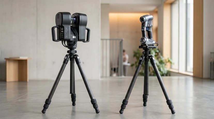
Structured-light capture and professional laser scanning solve different problems. Here is how to decide which technology fits your next project — and when combining both is the smarter route.
Read more
July 26, 2026
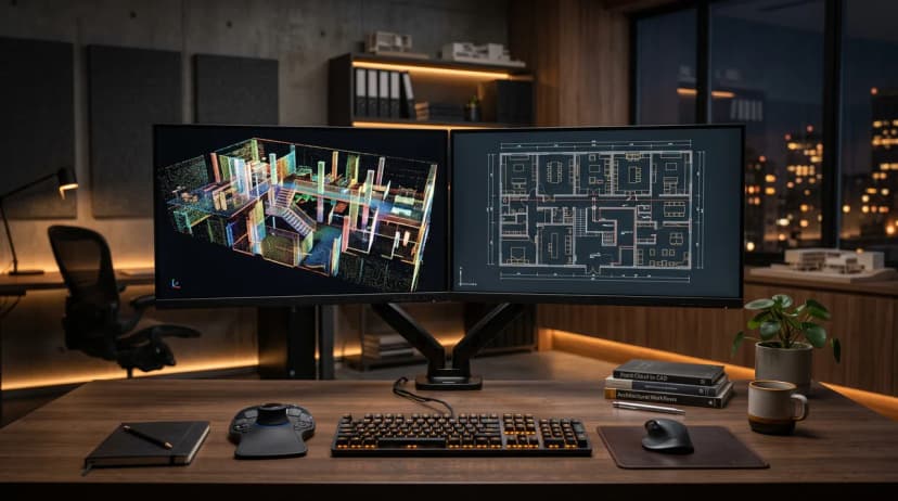
A point cloud is raw geometry without meaning – not a finished plan. Why deriving a CAD plan requires expertise, which quality problems are typical, and what exactly you need to specify to turn existing scan data into a genuinely usable plan.
Read more
July 26, 2026
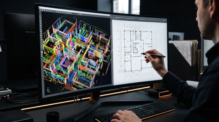
A point cloud is not a floor plan. Here is what actually happens between the scanner and the finished CAD drawing your architect can build from.
Read more

July 26, 2026
Not every virtual tour delivers on its promise. We break down the technical and editorial factors that really decide whether prospects stay engaged or click away.
Read more

July 26, 2026
Black and dark matte surfaces absorb rather than reflect laser light, leaving gaps and noise in point clouds. Here is why this happens and how experienced scanning teams work around it.
Read more

July 26, 2026
Mirrors and glass surfaces confuse laser scanners and cameras alike, producing ghost geometry, holes in point clouds, and reflection artifacts. Here is how professionals capture accurate, clean results in bathrooms, showrooms, and glass-partitioned offices.
Read more
July 26, 2026
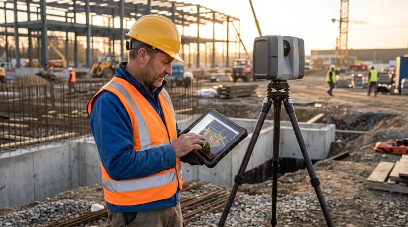
Across many building surveying and construction documentation projects over the years, certain patterns repeat: plans that no longer match reality, measurement errors from reflective surfaces or scan drift, and communication gaps that turn a simple survey into a costly rework. Here is what property managers, architects, and facility managers should know before their next project.
Read more
July 26, 2026
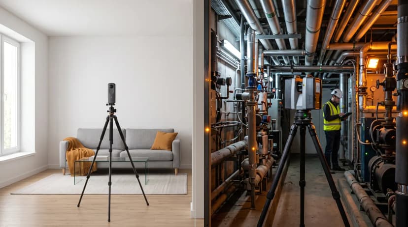
A 3D walkthrough scan is a compelling, walkable digital twin, but it is not a surveying instrument. When the tour is enough, when you need a survey-grade point cloud, and how to combine both methods sensibly.
Read more
July 26, 2026
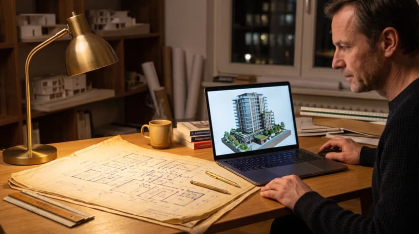
Anyone who takes on a building project involving existing structures knows the problem: the plans handed over by the client don't match the real building. Why that is and why a fresh 3D survey of the existing structure pays off right at the start of a project.
Read more
July 26, 2026
Existing CAD plans look precise, but for real-world interventions they are often unusable. Why this happens by design, and how a fresh 3D survey creates a reliable foundation.
Read more
July 26, 2026
The digital twin is seen as a key technology for existing buildings and operations. Even so, many projects fizzle out or never deliver the promised benefit. The reasons almost never lie in the technology, but in expectations, data foundations and ownership.
Read more
July 26, 2026
The lowest quoted price for a building survey often turns out to be the most expensive in practice. Where budget providers cut corners, how those gaps come back to haunt you later as re-surveys and construction errors, and how to evaluate a quote by scope and quality rather than price alone.
Read more

July 26, 2026
Cost overruns on renovations often feel like bad luck. In reality, they can be traced back to a few predictable causes. The biggest of them: unreliable existing-building data. A precise 3D survey at the outset removes the most expensive source of nasty surprises.
Read more
July 26, 2026
A cheap or quickly produced as-built survey looks like a saving, until the errors become visible on site. We do the honest math on the downstream costs that imprecise as-built data sets off, and why they exceed the supposed saving many times over.
Read more
July 26, 2026
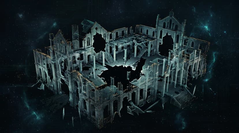
At first glance, a point cloud often looks complete – the gaps only appear when someone tries to derive a floor plan from it or take a height measurement. We explain the typical causes of missing data, why they surface so late, and how scan planning and completeness checks can prevent them.
Read more
July 26, 2026
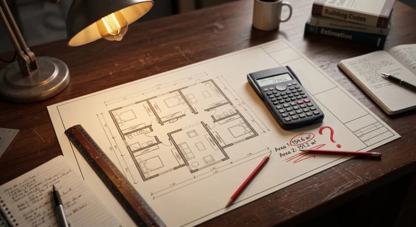
A miscalculated floor area has an impact for years: on rent, service-charge allocation, valuation and financing. We show the typical causes and how a standards-based, documented survey prevents costly consequences.
Read more

July 26, 2026
Missing or outdated as-built plans are an underestimated risk: they stall the design process, blur tenders and hold up permits. We show the concrete consequences and the fastest way back to a reliable basis.
Read more
July 26, 2026
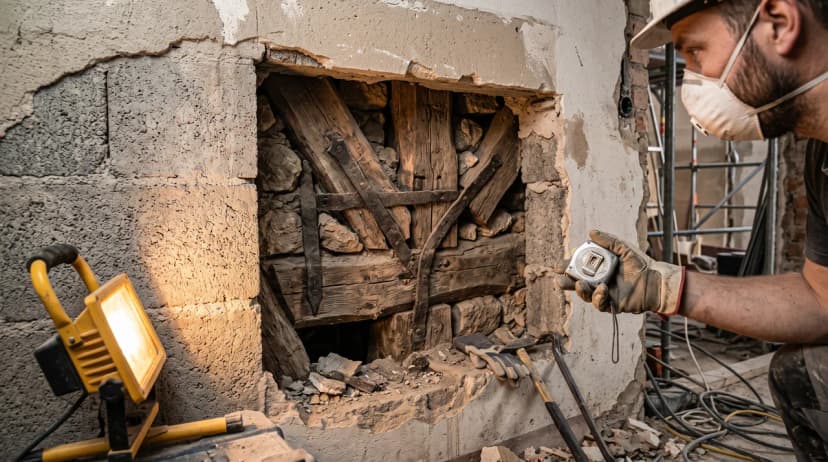
When renovations go undocumented, plans and reality drift apart. We show the risks lurking behind every later drilling, refurbishment and due diligence, and how an up-to-date building model protects you.
Read more
July 26, 2026
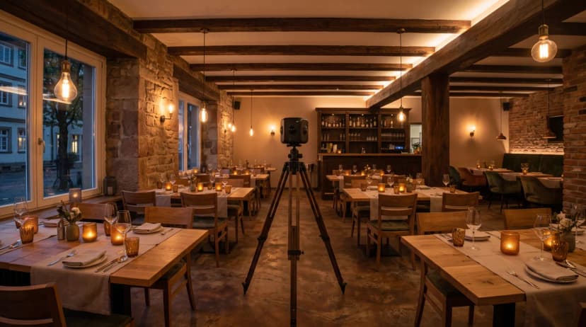
A menu and a few photos never convey a restaurant's atmosphere. This step-by-step guide shows how a working venue is digitized around service, dim lighting and all, into a tour that drives reservations and private-event bookings.
Read more

July 26, 2026
From the first route sketch to go-live: how a virtual city tour is really produced. Route and POI planning with the tourism board, outdoor capture in changing weather, GDPR-compliant blurring, drone and interior scans, multilingual audio guides, accessibility, hosting on the municipal website, and a realistic timeline for city administrations.
Read more
July 26, 2026
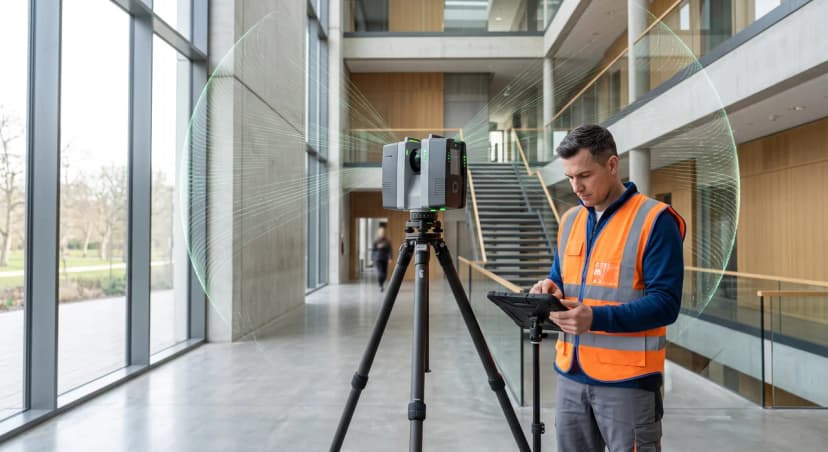
A plain-English guide to how 3D building surveying works, from LiDAR and structured-light sensors to point clouds, registration, floor plans and BIM, plus who really needs it.
Read more
July 26, 2026
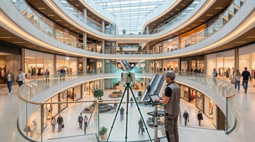
Digitizing a shopping center is not a simple 3D scan but a logistics project with dozens of stakeholders. This guide walks through the phases, timeline and common pitfalls.
Read more

July 26, 2026
Making a hotel virtually walkable is not about scanning every room. It is a strategy of representative room types, protected guest privacy, prioritised common areas and smart booking integration. Here is how the process works from planning to publication.
Read more
July 26, 2026
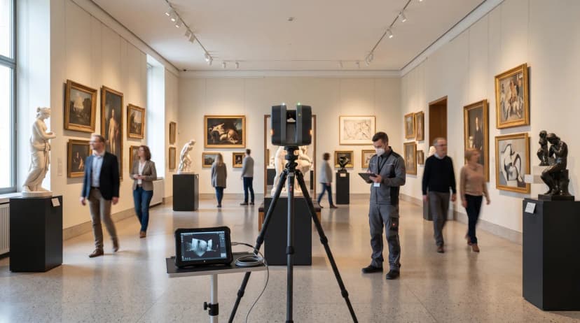
From the first walkthrough with a curator to a finished virtual tour, museum digitization follows a careful, conservation-first process. Here is how each stage actually works in practice — including the technology, the timeline and the pitfalls.
Read more
July 26, 2026
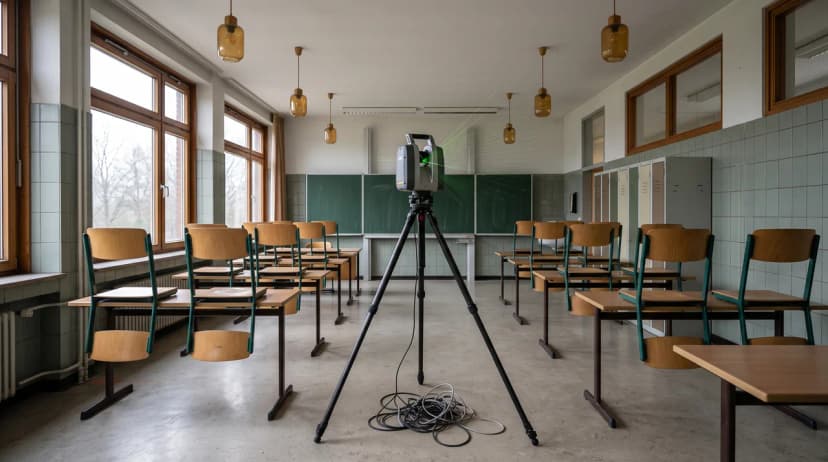
A step-by-step guide to surveying schools with 3D laser scanning: scheduling around holidays, safeguarding pupils, coordinating with facility departments, and putting the data to use.
Read more

July 26, 2026
A practical, step-by-step guide for commercial real estate and facility managers: how a digital capture project runs from the first scoping call to marketing tour, CAD floor plan and standards-based area calculation.
Read more
July 26, 2026
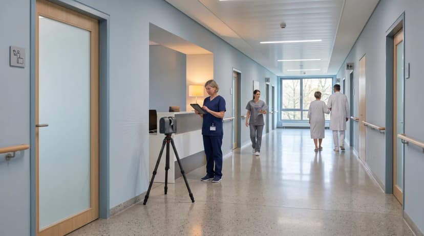
A hospital does not close for a survey. How a 3D scan runs in 24/7 operation - from hygiene coordination and data protection to handing the models over to facility management.
Read more

August 28, 2026
A rendering is created in nine clearly distinguishable steps. Knowing them tells you when changes are cheap and when they become expensive – and what a rendering promises in legal terms.
Read more
August 28, 2026
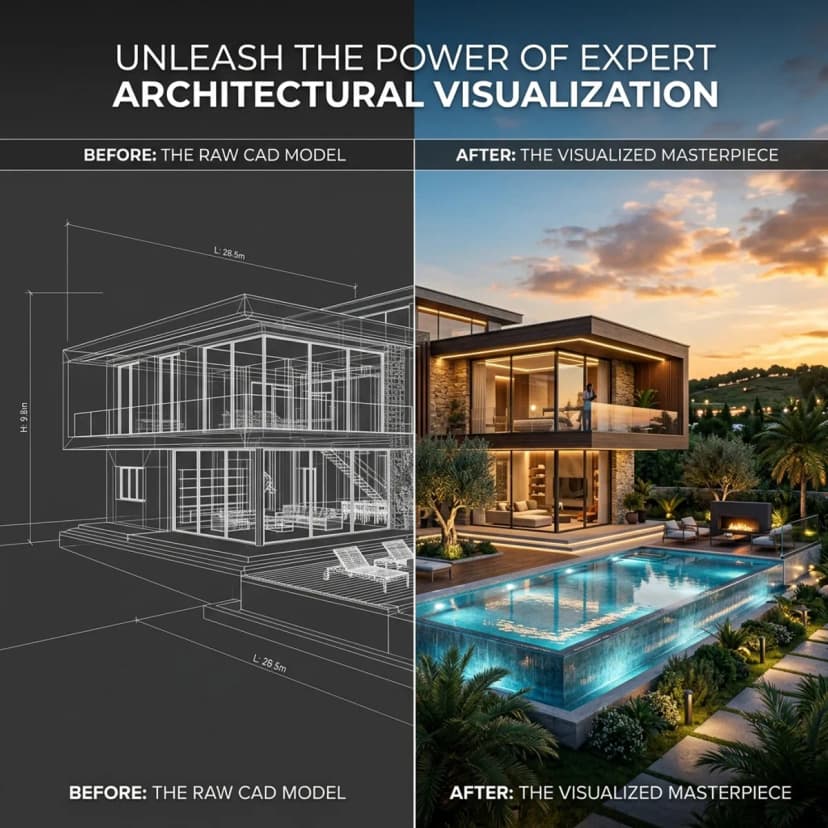
The most common delay in visualisation projects comes from incomplete documents. What is mandatory, what helps, what counts as a special case – and which gaps get expensive.
Read more
August 28, 2026
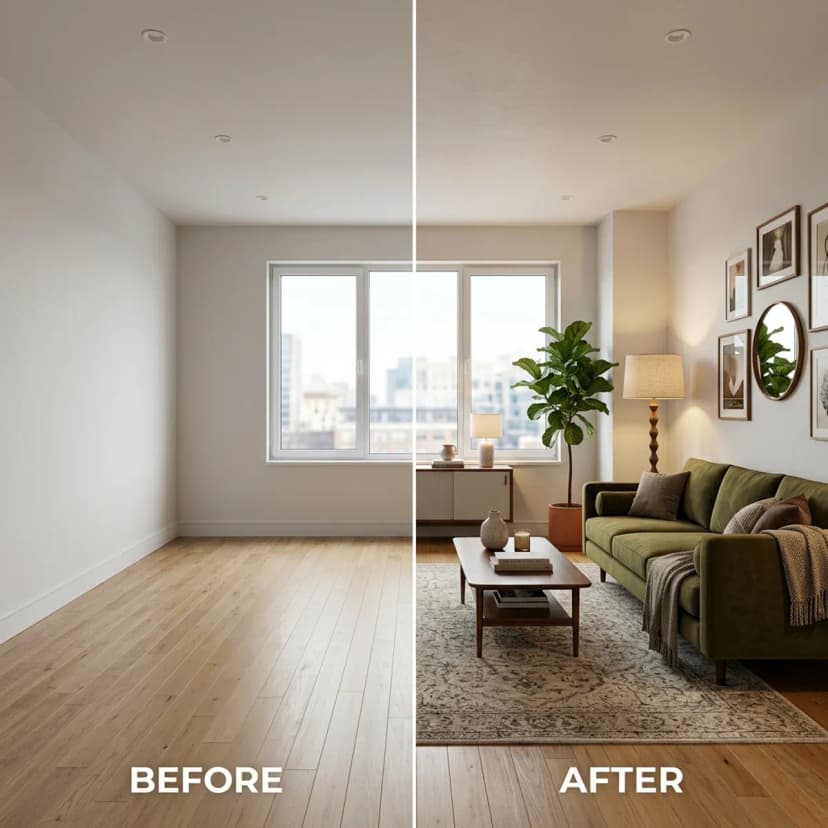
Virtual staging furnishes empty rooms digitally. How the process works technically, how to spot poor results, and what the labelling rules require.
Read more
August 28, 2026
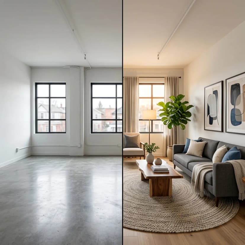
Adding movable items is uncritical; altering fixed ones is not. Seven situations in which virtual staging gets sensitive – with a checklist to run before publishing.
Read more

August 28, 2026
A 3D floor plan makes a layout legible to non-specialists. How it is produced, what matters in scale and area figures – and what it does not replace.
Read more

August 28, 2026
Operating categories, proofs, restricted zones, insurance and personality rights: what aerial images of property must satisfy – and who carries the liability.
Read more