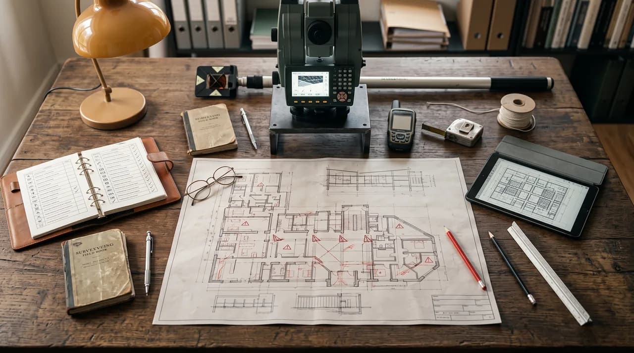
As-built plans are the working basis for every conversion, renovation, or modernization project. Architects run their calculations on them, specialist planners route their service lines from them, structural engineers assess load-bearing components against them, and construction firms order material according to the dimensions printed on the paper. That is precisely where the risk lies: if the basis is wrong, every error propagates through the entire planning process and becomes more expensive to correct with each additional trade. A single centimeter in the wrong place on an as-built plan can end up snowballing into a five-figure change order.
In practice, however, as-built plans are often adopted without any scrutiny. They sit in the archive, in the property manager's PDF folder, or as a yellowed print in the filing cabinet. They look official, carry a stamp, and come across as trustworthy. But the appearance of a plan says nothing about its reliability. A neatly drawn plan can be completely out of date, while an unremarkable sheet can have been precisely surveyed. Anyone who wants to convert, buy, or appraise a property has to be able to separate these two levels: the look of the document and the truth of what it states.
The good news: you don't have to be a surveyor to spot the typical weak points. As-built plans that can't be trusted almost always send certain signals. Anyone who knows these warning signs can make a decision early, before costs are incurred, and knows when to ask the client, seller, or property manager some pointed questions. The following seven signs are the most reliable indicators that an as-built plan should be checked or resurveyed. On their own they are already reason for caution; in combination they become a clear call to act.
1. There is no information about the date or scale
The first and most mundane warning sign is at the same time the most telling: a plan without a date and without an unambiguous scale is essentially worthless. First take a look at the title block, usually at the bottom right. If there is no creation or revision date, you have no idea which state of the building the plan even depicts. A building changes over the decades through extensions, floor-plan modifications, relocated walls, and new installations. Without a date, you cannot assess how many of these changes the plan has already missed, and you cannot place it in relation to more recent documents.
A missing or unclear scale is equally critical. If only isolated dimensions are marked but there is no continuous dimension chain and no scale bar, nothing on the plan can be measured off with any certainty. Especially treacherous: PDF files are frequently distorted when saved, printed, or scaled, so that an originally to-scale plan suddenly no longer matches. Without a printed scale bar that would let you detect this distortion, you are measuring blind. Anyone who takes a dimension off the screen and trusts it risks the file having been silently compressed in the meantime.
In practical terms this means: a plan that is neither dated nor dimensioned may serve for rough orientation, but it is unsuitable for planning and costing. You can neither determine areas reliably nor order components to fit. If the date and scale are both missing, you should treat the plan strictly as a sketch and back up every decision built on it with your own measurement before you trigger any costs.
2. A permit drawing is passed off as an as-built plan
The second warning sign is one of the most common and is nevertheless routinely overlooked. Permit drawings, design drawings, and construction drawings describe how a building was once supposed to be built. A genuine as-built plan describes how it was actually built and how it exists today. That is a fundamental difference, because on virtually every construction site there are deviations between permit and completion: walls migrate, openings shift, shafts are routed differently, details are adjusted on site. What was approved is only the intention, not the result.
You can recognize this warning sign by the labeling in the title block and by typical notes such as permit drawing, building application, design, or references to project phases. Conversely, if an explicit note such as as-built survey, measured, or as-built is missing, caution is warranted. Another indication is an approval stamp or permit endorsement from the building authority: it proves that these are application documents, and it says nothing about whether the building was actually built that way. Idealized, perfectly symmetrical floor plans are also often a sign of a design rather than a survey.
If a permit drawing is treated as as-built documentation, you adopt all the construction deviations into your planning as supposedly confirmed reality. This comes back to bite you on the construction site at the latest, when the new partition wall doesn't line up with the column, or the planned wall opening runs into an unexpected downstand beam. The plan was never wrong; it was simply used for the wrong purpose. The only safe approach is to treat the permit status as what it is and to reconcile it against the actual as-built condition on site.
3. Suspiciously round measurements everywhere in the plan
With a little practice, the third warning sign can be spotted at a glance: if nearly all the measurements are clean and round, someone probably didn't measure but assumed. Real buildings have awkward dimensions. Plaster layers, construction tolerances, warped walls, and historic building fabric ensure that a room does not measure exactly 4.00 by 5.00 meters but, for example, 3.97 by 5.04 meters. A plan that reads 4.00 and 5.00 throughout reflects an ideal state, not an actual one.
Pay particular attention to wall thicknesses and clear room dimensions. If every internal wall is given as a tidy 11.5 or 24 centimeters and every room comes out to a full 10 or 25 centimeters, that is a strong indication that the measurements were carried over from the design or idealized at the drawing board. This applies especially to older buildings, where the masonry has long since settled and hardly any corner still sits at exactly ninety degrees. Where clean numbers appear throughout, where construction tolerances ought to be visible, nobody has probably put a measuring device to the wall.
This doesn't necessarily mean everything is wrong, but it does mean the measurements are not backed up by a survey. Precisely in furnishing, elevator, or sanitary planning, a few centimeters decide whether a component fits or not. An elevator shaft, a flush shower element, or a custom-built kitchen forgives no rounded assumptions. Round measurements are a promise that reality rarely keeps, and they should always trigger the impulse to remeasure the critical points yourself.
4. The numbers contradict each other across documents
The fourth warning sign only shows up when you lay several documents side by side, and that is exactly what often gets skipped in everyday practice for lack of time. Compare the floor plan with the section, the ground floor with the upper floor, the plan with the living-space calculation or with the details in the listing. In reliable documents, these figures agree. In unreliable records, they diverge, sometimes substantially.
Typical contradictions are rooms that have a different length in the floor plan than in the section, story heights that vary from sheet to sheet, or a total area that doesn't add up from the sum of the individual rooms. Stacked walls that sit at different positions on different floors, even though they should run continuously as load-bearing walls, are also an alarm signal. Such contradictions arise when plans were assembled at different times, by different people, or from different sources, without anyone reconciling them in the end.
When two documents contradict each other, at least one is wrong, and without an independent check you don't know which. You are then planning on a basis that is not internally consistent, and you carry that risk into every subsequent project phase. Even a quick cross-check of the most important measurements across all available documents will expose such breaks. If discrepancies come to light in the process, that is a clear signal that the entire set of records does not stem from a consistent survey and needs a new, unified basis.
5. Important technical layers are missing entirely
The fifth warning sign concerns not what is in the plan but what is absent from it. Many as-built plans show only the architecture: walls, doors, windows, room labels. What is completely missing are the technical layers, that is, the routing of pipes, ducts, shafts, beams, and installations. For a purely area-based consideration this may be enough. But as soon as anything is converted, gutted, or technically extended, precisely these layers become decisive.
You can recognize this warning sign by the fact that heating, ventilation, plumbing, and electrical are either not shown at all or indicated with heavily simplified, obviously schematic symbols that cannot be positionally accurate. Load-bearing components such as downstand beams, columns, and slab openings are also frequently missing from such plans, as are details on fire compartments or drainage lines. If a plan looks as though the building had no building services whatsoever, that is not a sign of clarity but of incompleteness.
This means that without this information you cannot make any reliable statement about openings, routing, or structural interventions. Any planning that builds on a purely architecturally described as-built works with blind spots. The missing layers then surface as expensive surprises when the wall is opened and something lies behind it that was never recorded in the plan. If the technical specialist layers are missing, the as-built has to be specifically supplemented with exactly this information before planning begins; otherwise you plan right past the fabric.
6. There is no reference to a coordinate system
The sixth warning sign is technical in nature and is often not even perceived as a problem by non-surveyors. A reliable as-built plan is georeferenced, meaning it is tied to a superordinate coordinate system and has a defined height reference. If this reference is missing, the plan effectively floats freely in space. It can be internally consistent and still fail to match other data sources.
Check whether the plan states a height reference, such as a defined zero point or a reference elevation, and whether there is any clue at all as to the location of the building in the terrain. If such information is entirely absent, any linkage with neighboring buildings, outdoor facilities, plot boundaries, or other specialist models becomes a guessing game. The relationship of the floors to one another and to the ground surface also remains unclear if no common height reference exists. For small, isolated interior spaces this may be inconsequential; for connected projects it is not.
Especially in larger projects, where multiple planning participants merge their data, or when interior and exterior surveys are meant to fit together, the missing coordinate reference is a serious obstacle. Without a common reference, partial surveys cannot be cleanly assembled, and elevations remain unclear. A plan without georeferencing is like a map without north. Where a link to a superordinate system will be needed later, it has to be established from the outset, because retrofitting it is only possible with a fresh survey.
7. The plan was traced by hand from scans
The seventh warning sign is particularly deceptive, because the result often looks very clean. It refers to plans that did not come about through a survey but by someone tracing an old, scanned paper plan in a CAD program. Such plans appear modern and precise, because they are digital and neatly drawn. Their accuracy, however, can never be better than that of the outdated and possibly flawed original from which they stem. Digitization increases the resolution of the representation, not the accuracy of the information.
One indication of this approach is perfectly straight lines and exact right angles everywhere the real building has long since ceased to be square, combined with a comparatively recent creation date on an old building. If inaccuracies, distortions, or dirt marks from the scanned original are visibly carried over into the plan, that too points to pure tracing. Missing dimension chains, chains that break off illogically, or ones that fall outside the grid are a further indication that the work was traced rather than measured.
When tracing, all the errors of the original are moreover preserved and in part made worse by the tracer's own interpretations. What looks like a fresh, digital as-built plan is in truth a digitized mistake. The new appearance feigns a currency and accuracy that were never measured. Anyone who accepts such a plan as a modern as-built survey buys the errors of the past in new clothing without realizing it, and builds on a basis that is only as good as a possibly decades-old original.
Conclusion
The seven warning signs have one thing in common: they all indicate that a plan was not surveyed at the real building but derived, idealized, or adopted from other sources. A missing date and scale, a permit drawing passed off as an as-built, suspiciously round measurements, contradictory numbers, missing technical layers, no coordinate reference, and the mere tracing of old scans are symptoms of the same underlying problem: the basis was never checked. The more of these signs coincide, the greater the likelihood that you are starting your project on false assumptions.
For practice this doesn't mean that every old plan is worthless. It can be a good starting point for orientation and offer clues about the building's structure. What matters is not to make it your costing and planning basis without scrutiny. As soon as several of the warning signs listed here coincide, the risk outweighs the benefit: the cost of a false basis that only reveals itself on the construction site as a rule far exceeds the effort of a proper as-built survey. Change orders, standstill on the construction site, and replanning are almost always more expensive than a reliable starting basis from the outset.
The most reliable way to eliminate this risk is an independent check of the as-built and, when in doubt, a fresh survey of the building. A current 3D scan captures the actual condition with high precision, georeferenced and in all relevant layers. From the point cloud you can derive floor plans, sections, elevations, and models that actually depict what was built, instead of repeating what was once planned decades ago. The result is a single, internally consistent data source that eliminates all the weak points named in this article at once: with a date, scale, real measurements, consistent numbers, technical layers, and an unambiguous spatial reference.
Anyone who recognizes the seven warning signs in their own documents has already made the most important decision: to fundamentally question the basis before anything is built on it. A verified as-built survey is not an additional cost center but the cheapest insurance against surprises later in the project. When in doubt, a simple rule of thumb applies: better to measure once too often than once too little, because a false basis only reveals its true cost when it is most expensive to correct.