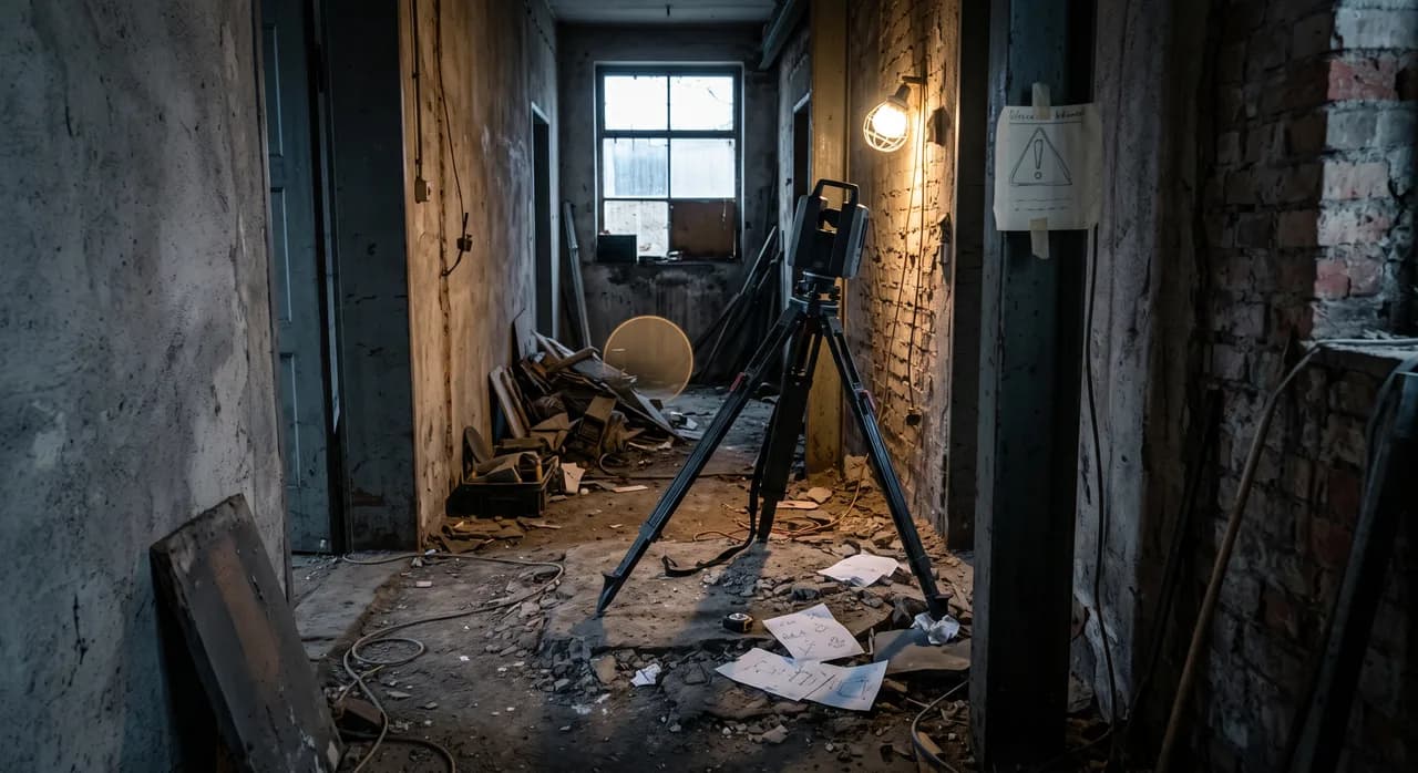
The building survey stands at the start of almost every renovation project – and that is precisely why mistakes at this point carry so much weight. Anyone who records the initial situation incorrectly plans on shaky ground, calculates on the basis of faulty figures and, in the worst case, has to re-measure, redesign or renegotiate contracts in the middle of construction. For architects, planners and facility managers, a clean survey is therefore not a tedious preliminary but the insurance against expensive surprises.
In practice, certain mistakes recur strikingly often. They rarely stem from a lack of skill, but from time pressure, unclear agreements and the understandable wish to reach results quickly. The good news: almost all of these mistakes can be avoided with clear agreements, a bit of method and the right technology. This article names the ten most common pitfalls and shows, for each one, how to avoid it.
1. The objective and scope of the survey are not defined
The first and most consequential mistake happens before anyone picks up a measuring device: it is not clear what the building survey is actually needed for. A survey for the rough feasibility assessment of a conversion has completely different requirements than a basis for detailed design planning, a BIM model or a heritage-appropriate documentation. If the purpose is not clarified in advance, the result is either a dataset that is too imprecise for the actual task, or a level of detail is produced at great effort that no one needs. Both cost money – once through rework, once through overproduction.
This can be avoided with a clean survey brief at the start of the project. Define which results are needed: pure 2D plans, a 3D model, a specific LOD or LOG level, which rooms and levels are relevant and which tolerances apply. Record whether building services, façades or outdoor facilities are included. This brief is the reference against which every decision in the field can later be measured. An afternoon of coordination up front often saves weeks of correction loops as the project continues.
2. Too few scanning or measuring positions
With laser scanning in particular, the wish for efficiency tempts people to make do with as few positions as possible. Every scan position saved does shorten the time on site, but it leaves gaps: areas behind projections, in niches, under stairs or in winding corridors are simply not reached by the laser. These occlusions often go unnoticed in the field and only become visible at the desk, when entire wall sections or ceiling areas are missing from the point cloud model. A second visit is then necessary – the most expensive mistake of all, because travel, setup time and renewed coordination are incurred all over again.
The solution lies in deliberate position planning and in redundancy. Position the scan locations so that their fields of view overlap clearly and every critical area is captured from at least two directions. Consider line-of-sight obstructions caused by furnishings, fixtures and installations. In complex geometries it is almost always cheaper, when in doubt, to record one position more than to return later. A quick completeness check while still on site – for example via a preview of the registered point cloud on a tablet – reveals gaps while they can still be closed.
3. Blind trust in old plans
In many projects, existing plans are available, and the temptation is great to simply adopt them and check only selectively. This is risky, because plans often represent a planning status, not the actually built condition. Between the approval planning and reality lie construction deviations, later conversions, shifted walls, sealed-up doors and undocumented installations. Anyone who makes these plans the basis without checking them adopts other people's mistakes and multiplies them across the entire project.
The correct approach is to treat existing documents as a hint and orientation, not as truth. The real geometry is recorded independently and the old plans are subsequently reconciled with it. Deviations are not the exception here but the rule – especially in older buildings with an eventful history of use. An independent survey reveals precisely the discrepancies that otherwise only come to light on the construction site. Old plans remain valuable, for instance to understand concealed structures or former uses, but they never replace the current measurement.
4. No control measurements and no checking of the results
An underestimated mistake is the absence of independent control measurements. Every measuring method has sources of error: registration errors when linking scans, drift along long corridors, small inaccuracies that add up across many positions. Without independent control, it goes unnoticed whether such errors have crept in. The result looks clean but may be distorted over larger distances – a problem that comes back to bite when joining components or connecting to neighbouring buildings.
Simple, independently collected control measurements provide the remedy. Record a few long, well-defined distances separately with a laser distance meter or tape measure and compare them with the model. Where higher accuracy is required, control points and a geodetic integration secure the overall geometry. Just as important is a documented quality check of the registration: how large are the linking errors between the positions? If these values are logged, the accuracy can be demonstrated rather than merely claimed. A survey without any control is essentially unverified – and no one should build a project on it.
5. Difficult materials are ignored
Laser scanners and optical methods reach physical limits when surfaces do not reflect the light as expected. Glass lets the beam pass through or reflects it away, high-gloss and polished surfaces produce false reflections, and very dark or matt-black materials absorb so much light that hardly any signal returns. Chrome-plated fittings, mirrors, dark floor coverings or glass façades therefore regularly lead to holes, ghost points or falsified geometries in the point cloud. Anyone unaware of this behaviour adopts faulty data without noticing.
The first step is to consciously recognise and note critical materials in the field. With glass surfaces it helps to capture the geometry behind them separately and to reconstruct the glass plane manually, rather than relying on the raw data. Reflective surfaces can sometimes be secured through different recording angles or supplementary manual measurements. The decisive point is to document the affected areas so that, during evaluation, it is clear which data are reliable and which were interpreted. An honest handling of the limits of the technology is far better here than a seemingly complete model that is invented at the critical points.
6. Ceiling voids, shafts and plant rooms are overlooked
A building survey that captures only the visible room surfaces often falls short. Above suspended ceilings, in installation shafts, in raised floors and in plant rooms runs the entire infrastructure of a building – ventilation, electrical, plumbing, sprinklers, data technology. Especially with conversions, densification or surveys for facility management, these concealed areas are frequently the truly relevant ones. If they are not captured, the planning lacks precisely the constraints that later decide whether a solution is buildable or not.
The survey planning therefore includes the question of which concealed areas must be made accessible and captured. Inspection openings, individual removed ceiling panels or access to plant rooms should be coordinated early with the operator, because they need lead time and sometimes safety briefings. Where a complete geometric capture is not possible, supplementary photo documentation and manual measurements of the most important routing help. The goal is to know the building-services constraints at least well enough that the planning does not later fail because of an overlooked duct.
7. No defined coordinate and height reference
Often a survey is created in a freely chosen, local coordinate system, without establishing a reference to a superordinate system or even a uniform height zero point. As long as you stay within one floor, this goes unnoticed. But as soon as several building sections, different survey dates or external specialist plans are to be brought together, chaos ensues: the datasets do not fit together, heights are inconsistently referenced, and no one knows anymore what a measurement actually refers to. The subsequent attempt to bring everything into a common system is tedious and error-prone.
Prevention is simple if you think of it from the outset. Before the survey, define which coordinate system will be used and where the height zero point lies – for example an official positional and height system or a clearly documented project zero point. Set permanent, recoverable reference points on the building so that later surveys or additions can connect to the same base. A uniform reference frame is the prerequisite for different trades, dates and participants to work on the same basis at all. Without it, every extension remains an act of improvisation.
8. Area standards are mixed up or not named at all
Especially in surveys for letting, valuation or facility management, considerable problems arise when areas are stated without naming the underlying standard. Not all area is the same: depending on the calculation rule, wall areas, shafts, zones with low ceiling height or circulation areas are treated differently. If a project is calculated sometimes by one and sometimes by another system, the same room yields differing values. This leads to disputes over rental areas, to incorrect key figures in building operation and, in the worst case, to legal conflicts.
The safe route is to define the area standard in advance and to apply it consistently. Clarify with the client which standard or guideline the areas are to be determined by and what the figures will later serve. Document the chosen standard directly with the result, so that every area figure is unambiguously assigned to a calculation basis. If several perspectives are needed in parallel – for example a technical and a lettable area – state them separately and clearly labelled. Transparency about the calculation basis is more important than the mere figure, because only then are the areas comprehensible and reliable.
9. Missing metadata and no documentation of the gaps
A dataset without context quickly ages into a riddle. If it is not documented when the survey took place, by which method, at what accuracy and with which reference system, no one can later assess how reliable the data are. Even more serious is concealing gaps: areas that were inaccessible, estimated measurements or interpreted geometries look exactly the same in the finished plan as reliably measured ones. Anyone who works on with this mistakes assumptions for facts – an error that runs unnoticed through all subsequent planning steps.
The remedy is consistent documentation. Every dataset should carry metadata: date of survey, method and device used, accuracy achieved, reference system and the responsible party. Just as important is an honest register of the limitations – which rooms were inaccessible, where measurements were estimated or adopted from old plans, where materials hindered the capture. Such notes do not diminish the quality of the survey, they increase its value, because users know what they can rely on and where caution is required. A documented gap is manageable, an unknown one is not.
10. Saving at the wrong end
The final mistake is at the same time the one that causes many of the previous ones: the decision to cut back on the building survey. It stands at the beginning and is seemingly only a small item in the overall budget, which is why it is often trimmed here – fewer positions, lower accuracy, no control effort, no proper documentation. The problem is the leverage effect: a mistake in the foundation propagates through design, detailed planning, tendering and construction, and becomes more expensive to correct at every stage. The supposed saving at the start is consumed many times over on the construction site.
Economically speaking, the survey is therefore not a cost item but a risk item. Instead of minimising the price in isolation, the effort should be aligned with the actual need and the risk of the project: a simple undertaking does not need heritage-grade precision, whereas a complex conversion in ongoing operation justifies the full methodical effort. The decisive thing is to decide consciously what level of detail and what certainty the project needs – and not to leave this decision to the red pen. A solid foundation is almost always cheaper than its subsequent correction.
Conclusion
The ten mistakes described share a common root: they arise where not enough is clarified before the actual measurement and not enough is questioned during the survey. An unclear objective, too few positions, blind trust in old plans, missing control, ignored material limits, overlooked services areas, a missing coordinate reference, mixed-up area standards, incomplete documentation and false economising – each of these points can be avoided with method, clear agreements and the right technology.
For architects, planners and facility managers, it therefore pays to look at the beginning of the project. Anyone who treats the building survey as what it is – the foundation of all further decisions – spares themselves expensive surprises down the line. A clean brief, a well-thought-out survey plan, independent controls and honest documentation cost little compared with what a mistake in the foundation later triggers. A good building survey is rarely the most spectacular achievement in a project, but almost always the one with the best ratio of effort to avoided risk.