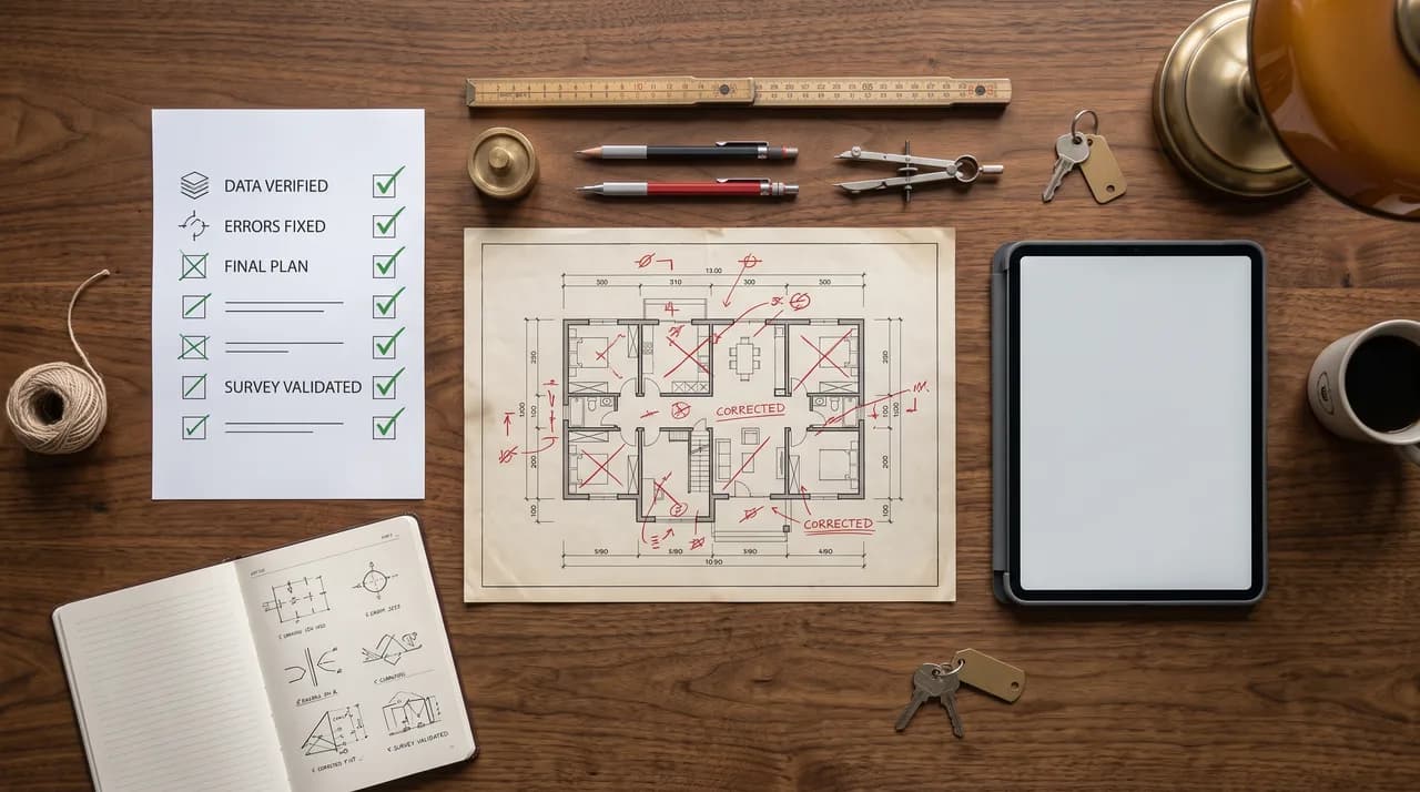
Anyone who measures, documents and digitizes buildings or brings them to life in virtual tours works at the intersection of technology, organization and communication. It is precisely at this intersection that mistakes happen - and surprisingly often the very same ones. This rarely comes down to a lack of skill, but rather to underestimated details: one scan position too few, an old plan that is trusted too readily, a tour without a common thread, or a digitization project that no one owns anymore after the kick-off.
This article brings together the recurring mistakes from every relevant field - from the survey through plans and data all the way to virtual tours, digitization projects and project organization. It is meant as an overview and a common thread: each group of mistakes is explained briefly, and for each there are concrete ways to avoid it. Once you know these patterns, you spot them faster in your own project - and in the end you save time, money and nerves.
The good news first: almost all of these mistakes are avoidable without needing expensive extra technology or external specialists. Usually it is enough to ask the right questions before the project begins and to apply a few proven principles consistently. The following sections work through the individual topics one by one.
Mistakes During the Survey
The most classic mistake in measurement is using too few scan positions. To save time, a room is captured from too few standpoints, and shadowing immediately arises: points are missing behind columns, under stairs, in niches or behind furniture. What still looks complete on the display turns out to be full of holes during processing. The rule of thumb is therefore, when in doubt, to set one position too many rather than one too few - standpoints only cost a few minutes on site, whereas a return visit costs a whole day including travel and coordination with the client.
Difficult materials and surfaces are just as underestimated. Glass, shiny metal, reflective floors, and dark or strongly absorbing surfaces produce distorted measurement points or none at all. Anyone who notices such situations only during post-processing has a problem. This can be avoided through a deliberate approach: capture critical areas from several angles, cover windows if necessary, or take supplementary hand measurements where needed. The important thing is to identify these spots during the walkthrough rather than hoping for software magic afterward.
The third typical mistake is overlooking gaps right there on site. As long as the equipment is still set up and you are standing in the building, almost any missing area can be rescanned in minutes. Once you are back in the office, that same gap becomes an expensive return trip. A short check routine before leaving the property helps: click roughly through the point cloud, mentally tick off the rooms, and check transitions and junctions. Experience shows that these five minutes of discipline at the end of every appointment save most of the rework.
There is also a factor that is often underestimated: the referencing and linking of the individual captures. If standpoints are not cleanly connected to one another or common reference points are missing, sub-areas drift apart during the merge, and many good individual captures turn into an unusable overall result. Anyone who ensures sufficient overlap between standpoints during capture and plans the sequence sensibly spares themselves tedious readjustment during processing. Even a plain hand sketch with standpoints and room numbers often helps more in the office than any elaborate technology.
Mistakes With Plans and Data
One of the most consequential mistakes is blind trust in old existing plans. Especially with existing properties, the actual condition often deviates considerably from what the records say: walls have been moved, openings created, false ceilings installed, and installations retrofitted. Anyone who adopts old plans unchecked is planning on a fiction. The consequences are collisions during execution, wrongly ordered materials, or components that do not fit. So the principle holds: old plans are a good starting point for orientation, but never a substitute for a current survey. Every relevant dimension belongs verified on site.
Closely related is the confusion around area standards. Living space, usable area, gross floor area, rental area - these terms mean different things and are calculated according to different sets of rules. If it is not clearly documented which standard was used to determine an area, misunderstandings with considerable consequences arise, for example with rental contracts, purchase prices or operating cost statements. The mistake rarely lies in the measurement itself, but in the missing statement of the calculation basis. It can be avoided by documenting the underlying standard alongside every area figure - transparently and traceably.
The third data mistake is doing without metadata. A file named "scan_final_v3" with no indication of the capture date, the property, the method used, the accuracy and the coordinate reference can hardly be classified a few months later. Metadata is the memory of a data set. If it is missing, every later use becomes a guessing game, and in the worst case, out of uncertainty, people prefer to measure anew rather than trust existing data. A simple, consistently maintained naming and metadata scheme - who, when, what, with what, at what accuracy - is one of the cheapest and most effective investments of all.
A related mistake is inconsistent or missing versioning. If several editing states are stored under similar names without it being clear which one is the current and binding version, different parties end up working with different states. Changes get lost, outdated values feed into decisions, and no one dares to delete a file anymore. The remedy is a clear rule about which state is authoritative, where it lives, and who is allowed to change it. Data maintenance is unspectacular, but it often decides whether a data set is still usable as a reliable basis years later, or merely lies in the archive as expensive digital ballast.
Mistakes With Virtual Tours
With virtual tours, poor lighting is by far the most common mistake. Rooms that are too dark, harsh shadow edges, blown-out window surfaces or color-tinted captures make even attractive properties look cheap and unappealing. Since a tour is meant to convey a sense of space, lighting quality is decisive for its effect. This can be avoided through deliberate capture planning: shooting at the right time of day, even illumination, a clean white balance and - where necessary - exposure series that render bright and dark areas alike. With tours, lighting is not a side aspect but the core craft.
A second, often overlooked mistake is the lack of dramaturgy. A tour that drops the viewer off somewhere and lets them wander without guidance through arbitrarily arranged standpoints loses them quickly. Good tours tell a story: they begin at a strong entry point, lead through the property in a sensible sequence, and highlight the relevant areas. Without this common thread, little of the tour sticks. It is therefore worth planning a deliberate route before implementation - the way you would personally guide a real visitor through the building.
On top of this come two technical classics: poor display on mobile devices and the absence of meaningful information points. A very large share of viewers open tours on their smartphone. Anyone who only tests on a large monitor and overlooks long loading times, clunky operation or tiny controls loses exactly these users. And a tour without tags gives away potential: explanatory information points, dimensions, links or detail photos turn a pretty tour into a genuine working tool. Both mistakes are avoided by consistently testing on real mobile devices and by placing information points precisely where viewers would have questions.
A final, underestimated mistake with tours is a lack of currency. A virtual tour shows a condition at a particular point in time. If a property is renovated, refurnished or used differently, the tour becomes outdated - and a tour that shows a long-superseded condition does more harm than good, because it raises false expectations. Anyone using a tour as a permanent showpiece should plan to update it when relevant changes occur, rather than letting it age unnoticed. It is equally important to make the capture date transparent so that viewers can correctly assess what they are seeing.
Mistakes in Digitization Projects
The structurally most serious mistake in digitization projects is the one-off effort that no one maintains. A building is captured with great effort, a digital model is created - and then frozen. But buildings change: renovations, new tenants, altered uses. A model that is not kept up to date becomes outdated and loses value until no one trusts it anymore. Digitization is not a project with an end date but a process. Anyone who plans for this from the outset and defines update cycles prevents an expensive initial investment from quietly decaying.
Related to this is the absence of a clear person in charge. If no one is named as responsible for the data, in the end no one takes care of it: updates fail to happen, access is not regulated, questions fizzle out. Digital holdings need an owner - a person or role that answers for maintenance, quality and accessibility. This responsibility must be named at the project start and equipped with time and authority, not only once the first data has gone stale.
Two further mistakes concern the direction set at the outset. One is vendor lock-in: if data is stored exclusively in a single provider's closed, proprietary format, you make yourself dependent. A change of provider, a price increase or the discontinuation of a product can then jeopardize access to your own data. This can be prevented through open, exportable formats and clear contractual arrangements for data handover. The other mistake is the missing purpose: if digitization happens because it sounds modern rather than because a concrete problem is to be solved, elaborate data sets arise that no one uses. At the start of every project, the question must be which decision or which work step the data is supposed to improve in the future.
Finally, digitization ventures often fail because of an overly large first step. Instead of testing on a manageable area what works and what is needed, the entire holdings are tackled at once - with high effort, a long duration and the risk that requirements turn out to be wrong along the way. A small, clearly delimited pilot delivers robust insights early, exposes weaknesses in the approach and builds acceptance among those involved. From a working first building block you can later expand step by step; a monolithic large-scale project, by contrast, is quickly called into question in its entirety when problems arise.
Mistakes With Accuracy and Expectations
An underestimated mistake is confusing richness of detail with accuracy. A dense point cloud or a photorealistic model looks precise - yet visual impression and actual measurement accuracy are two different things. Anyone who derives dimensions from an impressive data set without knowing the accuracy actually achievable with the method can be in for a nasty surprise. This can be avoided by defining the accuracy requirement in advance: a rough overview for marketing has different demands than a millimeter-accurate survey for manufacturing components.
Related to this is the lack of alignment of expectations between service provider and client. One is thinking of a vivid visualization, the other expects a verifiable as-built plan - and both talk past each other until the result is in. Such misunderstandings are expensive because they only become visible at the end. The solution lies in a clear requirements profile at the project start: what are the data needed for, what accuracy is necessary, which formats are expected, and what is expressly not part of the service.
Finally, it is often forgotten that every method has limits. No capture method records everything equally well, and no post-processing can invent data that was never measured. Anyone who knows these limits and communicates them openly protects themselves against exaggerated expectations and against complaints. Honest clarification about what a method can and cannot deliver is not a sign of weakness but the basis of a robust collaboration.
A practical lever against this expectation gap is early alignment using concrete examples. Instead of talking about accuracy and level of detail in abstract terms, it helps to show a comparable result from an earlier project and to clarify together whether it meets the requirements. This makes tangible for both sides what will actually be delivered. Misunderstandings that are easily overlooked in words become immediately apparent with a concrete example - and can be resolved before effort has been expended rather than only at handover.
Organizational and Financial Mistakes
The most expensive false economy is to save on the survey of all things. The survey stands at the beginning of the chain - everything else builds on it. If corners are cut here, the defects propagate through the entire project and, at a later point, cause many times the originally saved costs. A mistake in the base capture is always more expensive than careful work from the start, because it only becomes apparent once a great deal has already been built on it. Saving at the foundation is the worst of all savings.
Just as frequently, projects fail because of an unclear scope of services. If it is not cleanly defined what belongs to the commissioned service and what does not, disputes, additional claims and frustration arise on both sides. The client expects services that were never agreed; the service provider is confronted with unpaid additional wishes. This can be avoided through a precise description of services: which rooms, which accuracy, which result formats, which handover, which post-processing - and just as expressly, what is not included. Clarity in the quote is conflict protection in practice.
A third organizational mistake is poor preparation of the survey appointment. When rooms on site are locked, keys are missing, contacts are unreachable or areas are cluttered, you lose valuable time - or have to travel out all over again. A short coordination beforehand about accessibility, contacts and the condition of the rooms prevents most of this friction. Good projects are often decided not on the survey day itself but in the preparation beforehand.
How to Avoid Mistakes Systematically
As different as the mistakes named may seem, they follow a few common patterns. The first is a lack of clarification in advance: purpose, accuracy, scope and responsibility are not defined early enough. Almost all expensive surprises can be traced back to a question that no one asked at the start. A short, honest preliminary conversation, in which everyone involved develops the same picture of the result, prevents more mistakes than any later check.
The second pattern is missing control at the right moment. Whether it is the visual inspection of the point cloud before leaving the property, the mobile test of a tour, or the verification of old plans on site - control is cheap when it happens early and in the right place, and expensive when it is omitted. It is worth establishing small, fixed check routines for recurring work steps that you do not have to reinvent every time.
The third pattern is a lack of sustainability: data without metadata, models without maintenance, projects without a person in charge. Anyone who thinks from the outset about how a result will still be usable in months or years automatically makes better decisions - about formats, about documentation and about responsibilities. Avoiding mistakes is thus less a question of expensive technology than a question of care, clear agreements and the willingness to think about a result beyond the day it is created.
Conclusion
The most common mistakes in surveys, documentation, virtual tours and digitization are not exotic special cases but recurring patterns that can be known and therefore avoided. Too few scan positions, unchecked old plans, unclear area standards, missing metadata, poorly lit tours without a common thread, unmaintained one-off projects without a person in charge, and a survey scrimped at the foundation - all of this costs considerably more in the end than clean preparation would have cost.
The common denominator is simple: clarify what is needed, control at the right moment, and set up results so that they remain usable in the long term. Anyone who takes these three principles to heart avoids the vast majority of the pitfalls described here - regardless of technology, method or project size. Avoiding mistakes does not begin with better tools but with better questions. Anyone who asks those questions early spares themselves the expensive answers at the end.