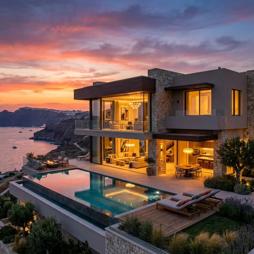
Aerial Data: Macro Locations Visually Dominate
Buyers decide on the location, not just the building. With certified drone flights and 4K aerial footage, we show the location, surroundings and plot of your property in impressive quality.
Service: Aerial Data: Macro Locations Visually Dominate – for listings, portals and sales.
Why Aerial Data for your Asset?
Location Due Diligence
Investors immediately recognize the transport connections and the urban environment.
Project Development Vision
Visualization of the dimensions of large-scale properties, business parks, and logistics hubs.
High-End Positioning
Dynamic 4K drone flights signal premium quality and massively increase the asset's attractiveness.
How we work together
- 01
Mission Planning
Checking airspace restrictions and strategic flight planning based on your marketing objectives.
- 02
Legal & Compliance
Legally secure obtaining of all official flight clearances and neighbor consents.
- 03
Data Capture
Safe execution of the aerial mission by our certified A1/A2/A3 pilots on site.
- 04
Post-Processing
Processing of raw data into high-resolution exposé images and dynamic teaser cinematics.
Aerial photography for real estate marketing
For commercial properties and large plots, the view of the whole location counts. Ground-based photos fall short here. Our certified drone pilots deliver high-resolution aerial images and 4K videos that immediately show buyers and tenants what makes the location special. From the logistics center to the undeveloped plot – we make the full potential of your property visible.
Simple Process
You send us photos, plans or scans - we deliver the finished assets in handover formats for web, exposé and portals.
Pricing
Spectacular aerial images and 4K videos from a bird's-eye view of properties and locations.
What's included:
- Flight operations with redundant high-end UAV sensors (4K/RAW)
- Obtaining all official flight approval permits (SORA)
- Capture of orthophotos & 3D terrain models
- Professional post-production & color grading
- Delivery of ready-to-use media files (MP4/JPG)
Drone & Aerial Data Capture in Ihrer Stadt
Wir arbeiten bundesweit. Für diese Städte gibt es eigene Seiten mit lokalen Ansprechpartnern und Referenzen.
Häufige Fragen (FAQ)
Aerial photography: the wider location as a decisive selling point
In the field of Commercial Real Estate (CRE), in logistics portfolios, and in large-scale project development (Development), the building itself is often only half the story. Investors, institutional buyers, and expansion managers of large corporations primarily evaluate the macro and micro location: How close is the nearest highway entrance? Is there direct access to rail freight? How is the asset integrated into surrounding business parks from an urban planning perspective? Traditional, ground-based architectural photography cannot capture these strategic dimensions. This is where FotoEstate comes in with professional, high-resolution drone images (Aerial Data Capture). We provide not only aesthetic aerial photos but also visual due diligence data that accelerate the sales process, create transaction security, and substantiate the value of your asset through maximum transparency.
1. Visualize infrastructure & logistics (Location Due Diligence)
When marketing logistics centers (big boxes) or light-industrial parks, functional metrics decide: turning curves for 40-ton trucks, turning circles, the number of loading bay doors (docking stations), and maneuvering areas. From the air, these operational dimensions can be captured in a single image. We produce high-resolution orthophotos and dynamic drone flights that give potential tenants or buyers immediate assurance about the logistical usability of the property. Access routes, neighboring buildings, and expansion potentials (brownfield sites) become vividly visible, reducing time-consuming on-site visits and bringing the letter of intent (LOI) about faster.
2. Cinematic teaser for project developers (pre-letting)
The sale of project developments (off-plan) requires strong emotional storytelling before the first digger even starts. We produce cinematic, 4K-resolved drone flights (cinematic videos) that stage the property in perfect light (golden hour). By later merging these real drone shots with photorealistic 3D architectural renderings (VFX / matchmoving), we show investors exactly how the finished building will integrate into the real environment. These teaser videos are the ultimate door opener for pitch presentations, digital data rooms, and high-quality social media campaigns on LinkedIn to secure anchor tenants early.
3. Photogrammetry & 3D Terrain Models for BIM
Modern aerial data services go far beyond photography. Using drone photogrammetry, we fly over large development areas in a grid pattern and capture thousands of overlapping individual images. From this, our cloud servers calculate centimeter-accurate, textured 3D terrain models (Digital Elevation Models) and distortion-free orthophotos. Architects, MEP planners, and developers can directly import these georeferenced models into their CAD/BIM software (e.g., Revit, AutoCAD Civil 3D). This enables precise quantity determination for earthworks (volume calculation of excavation), exact shadow studies, and seamless integration of the building design into the real topography – a drastic reduction of planning risks (CapEx).
4. Highest legal compliance and flight safety
The regulatory hurdles for commercial drone flights in European airspace (EASA regulations) have increased massively. Illegal drone flights without permission can lead to enormous liability risks and massive reputational damage (ESG violations) for asset managers. FotoEstate guarantees 100% legal compliance. We operate as a certified UAV operator, hold all EU remote pilot certificates (A1/A2/A3, STS), and obtain complex flight authorizations from the national aviation authorities – even in red no-fly zones (geo-zones), over industrial facilities, ports, or in control zones (CTR) of airports. Our flights are covered by special aviation liability insurance in the millions, ensuring that your transaction process remains completely risk-free.
5. Integration into the digital exposé and ESG reportings
Aerial imagery data is now a standard requirement for institutional investors. We deliver the finished aerial assets optimized across platforms: as print-ready TIFFs for high-gloss investment memorandums (IMs), as compressed WebP files for fast landing pages, and as H.265-encoded videos for virtual data rooms (e.g., Drooms, Intralinks). In addition, drone data can be used for visual ESG documentation, for example to legally document the construction progress of photovoltaic systems on hall roofs or the renaturation of outdoor areas for sustainability reports.
What our partners say
"The drone documentation of our construction progress is first-class. Perfect for our investor updates."
"Super friendly photographers who know exactly what matters in a real estate shoot."
"The pictures of our new warehouses turned out great. Clear recommendation for commercial real estate."
"We work exclusively with Fotoestate. The lighting is perfect every single time."
"Our click rates on portals have noticeably increased since we started working with Fotoestate."
"Thanks for the great photos! We had three viewings immediately on the first weekend."
"The drone documentation of our construction progress is first-class. Perfect for our investor updates."
"Super friendly photographers who know exactly what matters in a real estate shoot."
"The pictures of our new warehouses turned out great. Clear recommendation for commercial real estate."
"We work exclusively with Fotoestate. The lighting is perfect every single time."
"Our click rates on portals have noticeably increased since we started working with Fotoestate."
"Thanks for the great photos! We had three viewings immediately on the first weekend."
Drone & Aerial Data Capture in practice
Case studies in which this service was applied.
Planning guides
Useful background before you decide
These articles explain relevant options, preparation and limitations in more detail.
- Drone imagery: legal requirements and liabilityRead the article
- When drone photography is permittedRead the article
Request this service
Describe the property and the goal. We will say what is included – and what it costs.
Prefer to talk it through?
Book a free 30-minute call. We look at your project and tell you which visualisation is worth it.