Drone Photography: When It Is Permitted and When It Is Not
Operational categories, geographical zones, personality rights and freedom of panorama — an overview of what to settle before every drone flight.
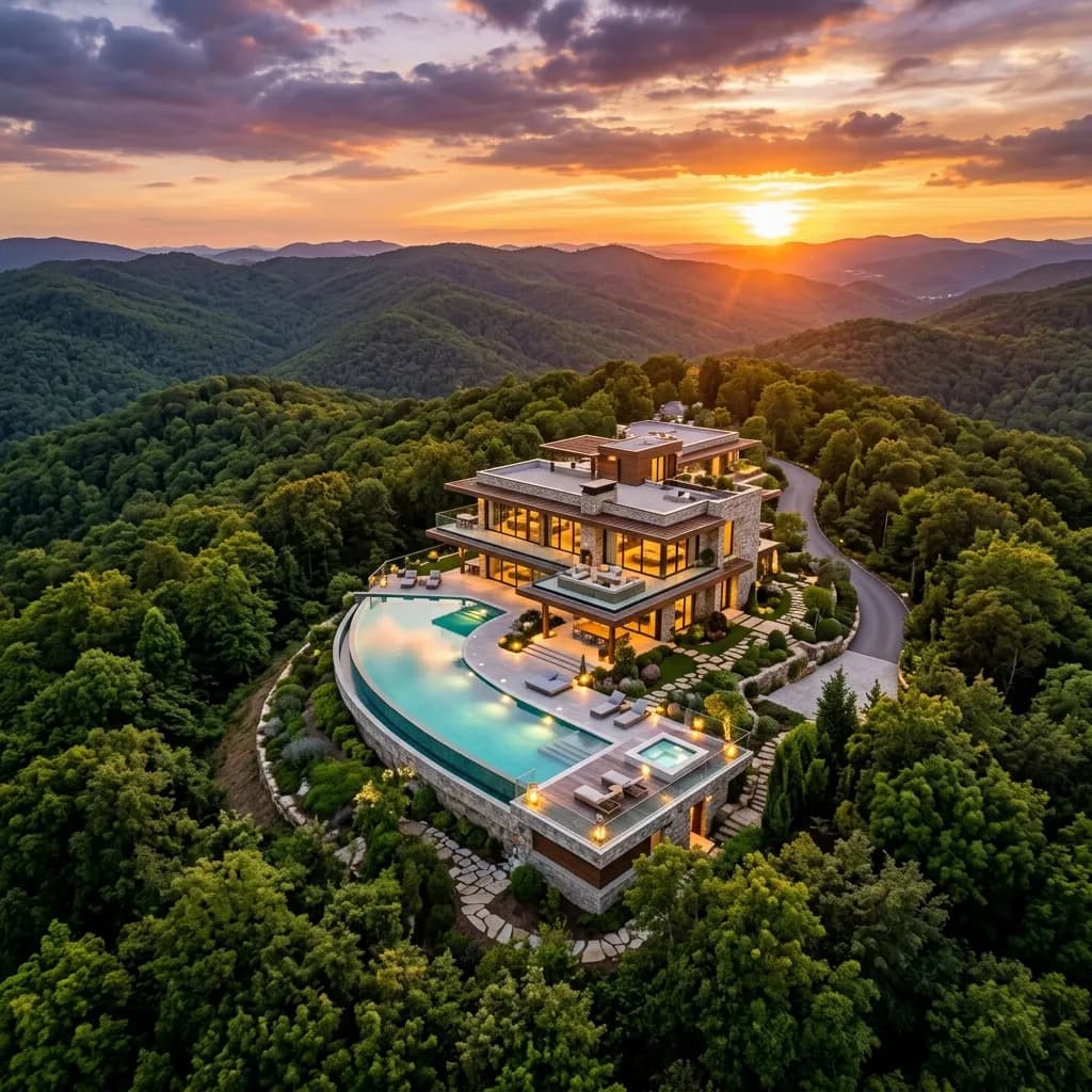
Aerial images have become standard for plots, commercial properties and larger residential developments. They show the location, the shape of the site, the transport links and the surroundings in a way that cannot be conveyed from the ground.
At the same time, drone operation is one of the few areas of property marketing where a wrong decision leads not only to a poor image but potentially to a fine. The rules are not complicated, but they are binding, and they apply regardless of whether someone commissioned the shot or is flying themselves.
A note upfront: This article is not legal advice. It gives an overview of the points most often overlooked in practice. For assessing a specific site, the current official sources and, in case of doubt, legal advice are decisive.
What the legal framework covers
Drone operation is regulated uniformly across the EU. The relevant instruments are the EU implementing regulation and the delegated regulation on unmanned aircraft systems, supplemented in Germany by the national air traffic regulations.
The system distinguishes three operational categories:
Open. The normal case for property photography. Low risk, no operating authorisation required, but fixed operational limits: a maximum of 120 metres above ground, visual line of sight to the aircraft, no carriage of dangerous goods, no dropping of objects. Within this category there are the subcategories A1, A2 and A3, which differ in how close to uninvolved people you may fly. They depend on the weight and class marking of the drone.
Specific. Everything beyond the limits of the open category — for example flights beyond visual line of sight or at greater height. Requires an operating authorisation from the competent authority or operation under a standard scenario.
Certified. Practically irrelevant in the property sector.
The vast majority of property photography takes place in the open category. That does not mean there are no prerequisites to meet.
Why "I am only an estate agent" does not help
A widespread misconception is that only someone selling the images is flying commercially. That is not the case. The operational categories of the EU regulation are not based on commercial or private use but on the risk of the operation. The requirements for competence certification, registration and insurance apply to the agent photographing their own listing exactly as they apply to a commissioned provider.
What has to be in place in every case:
- Registration as an operator with the aviation authority; the assigned operator number has to be affixed to the drone
- Proof of competence matching the subcategory — from the online A1/A3 certificate to the A2 remote pilot certificate
- Liability insurance that explicitly covers drone operation; private liability cover generally does not
Flying without these basics risks the complete loss of insurance cover if something goes wrong. In practice that is a bigger problem than the fine.
Where flying is not allowed
The second block concerns the location. There are geographical zones in which operation is restricted or prohibited. For property photography, the following matter most:
The vicinity of airports and airfields. Control zones extend further than most people assume. A property can be several kilometres from the runway and still sit in an area requiring air traffic clearance.
Residential plots. Restrictions apply over residential plots when the drone exceeds certain weight or equipment thresholds or when cameras allow optical recording. The consent of the landowner is central here — and not only the owner of your listing, but in principle also of anyone whose plot is overflown.
Nature reserves, national parks and certain water areas. A general prohibition with narrow exceptions often applies here.
Railway installations, federal highways, energy infrastructure, industrial plants, hospitals, prisons, public authorities and military installations. All areas with their own separation or prohibition rules.
Gatherings of people. Overflight is prohibited. A weekly market, a fair or a school playground at break time makes an otherwise permissible location unusable for the duration of the event.
The binding source of information on geographical zones is the official digital map. A look at it belongs before every operation, and on the day itself — zones can be established temporarily.
Personality rights: the most common source of error
Even when the flight is permissible under aviation law, the resulting image can be legally problematic. These are two separate questions, and the second is regularly overlooked.
Identifiable people. Anyone identifiable in the image has rights to their own likeness. In aerial views of residential developments that quickly includes the neighbours on their terrace. Practical solution: choose a quiet time of day and remove or obscure all identifiable people in post-production.
Neighbouring plots. A view across the boundary into someone else's garden or onto their terrace touches on privacy. You do not need that view to market your property. Choose the flight altitude and camera angle so that the focus is on the property and its immediate setting, and crop more tightly if in doubt.
Vehicle number plates. In car parks and driveways they are often legible. Obscuring them is the simpler route than a discussion about whether it was necessary.
Windows. A zoom that looks into other people's flats is problematic even when the drone itself was positioned permissibly.
Freedom of panorama and what it does not cover
Buildings can be protected by copyright. Freedom of panorama permits the depiction of works permanently located on public ways, streets or squares — photographed from those public ways.
The decisive point for drone photography: on the prevailing view, freedom of panorama is tied to the perspective available from public ground. A shot from 60 metres up is not a perspective a passer-by can take. You cannot therefore simply rely on freedom of panorama for aerial images of protected buildings.
In practice this means: for your own listing it is usually uncritical, because you are working with the owner anyway. It becomes critical when a distinctive, protected neighbouring building carries the actual message of the image — for instance as evidence of an attractive location.
What to settle before every flight
A short sequence that has proved useful:
1. Check the official map for the site, on the day of the operation
2. Have operator registration, proof of competence and insurance documentation to hand
3. Obtain the landowner's written consent
4. For residential developments: inform the management company and, where sensible, the neighbours
5. Check the weather — wind, precipitation and temperature limit operation more strictly in practice than the law does
6. Plan the flight path so that neighbouring plots do not have to be overflown
7. After the flight: remove people, number plates and views into other people's rooms in post-production
Point five is underestimated. An appointment abandoned because of the weather costs a second day of travel. So do not schedule drone shots as the last item of an already tight photo session.
When a drone is the wrong tool
Not every property gains from aerial images. For a flat on the fourth floor of an inner-city building, the aerial shot shows the roof — and that is rarely the selling point. For properties in dense development with unattractive surroundings, the bird's-eye view makes visible exactly what you did not want to emphasise in the brochure.
Aerial images are useful above all when the shape or size of the plot, the transport links, the position within the town or the relationship between building and open space matter: detached houses with gardens, commercial sites, development land, larger residential schemes, properties in a distinctive location.
And there are alternatives. For showing the location, an annotated map view is often enough. For the interior perspective, a Matterport tour is the more appropriate instrument. For a property not yet built, a bird's-eye visualisation delivers the image a drone cannot, for want of a building.
The typical mistakes
The flight is decided spontaneously. The weather is good, the drone is in the boot, the property surely looks good from above. That is exactly how flights into control zones happen.
Neighbouring plots are overflown because it is shorter. The drone's route matters just as much as its position at the moment of release.
The shots are too high. An image from 110 metres shows a street map, not a property. For most residential properties the informative altitude is considerably lower.
Only one perspective. A single shot straight down is the least useful option. A slightly oblique view shows building, plot and surroundings in relation to one another.
Post-production is skipped. People in frame, legible number plates, the neighbours' open terraces — all of it belongs cleaned up before the image goes onto a portal.
Conclusion
Drone photography is an effective instrument when the property supports it. The prerequisites are registration, proof of competence, insurance, a check of the geographical zones and the owner's consent — and after that, careful post-production with personality rights in mind.
The simplest way to cover all of these points is to commission a provider who holds the certifications and includes the site check as part of the service. Check whether exactly that is included in the quote.
A complementary look at liability is in our article on drone photography for property: the legal position.
Related articles
Explore Drone imagery
See what the service includes, which source material is useful and how a typical project starts.