When the record drawings are wrong: surveying by laser scan
Hardly any existing building matches its drawings. Anyone planning on that basis discovers the deviation on the building site.
It is one of the most reliable experiences in building within existing stock: the available drawings are wrong. Walls stand elsewhere, openings were altered, mezzanines inserted, services rerouted – and little to none of it was documented.
Anyone planning on that basis discovers the deviation at the worst moment: on site, once the component is already fabricated.
Why record drawings almost never match
The reasons are structural. A building from the seventies has typically been through several conversion phases, each executed by different parties and rarely documented back fully.
Moreover, even the original drawing depicts the design, not the execution. Centimetre deviations are normal; in existing stock they accumulate over decades.
What a scan delivers
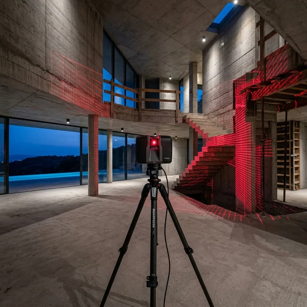
With 3D laser scanning the building is captured from several standpoints with a LiDAR scanner. From the individual captures a coherent point cloud emerges depicting the actual geometry – including all leans, settlements and deviations.
From it can be derived:
- 2D record drawings – floor plans, sections, elevations
- 3D models for further planning
- Area and volume calculations on a real basis
- Deformation analyses, for instance with settlement damage
The decisive difference from manual surveying: not what somebody deemed relevant is measured, but everything. Questions that surface later can be answered on the model without travelling again.
The time factor
A manual survey of a mid-sized building ties up several days depending on complexity – and in the end delivers exactly the dimensions that were taken.
A scan captures the same area in hours. The effort shifts from capture to evaluation, where it is plannable and location-independent. With occupied buildings this is the practically most important point: access has to be arranged only once and only briefly.
Putting accuracy in context
Honesty pays here. A laser scan achieves accuracy in the range of a few millimetres to centimetres in typical interiors, depending on device, distance and surfaces.
For record drawings, renovation planning, area determination and locating components that is more than sufficient. For applications with millimetre tolerance – say fitting prefabricated facade elements – tachymetric surveying remains the right choice.
Reputable providers tell you which method your question needs instead of selling the scan by default.
Typical use cases
Renovation and conversion. Planning builds on real geometry instead of a 1974 drawing.
Listed buildings. The scan documents the fabric completely before interventions – and preserves details that can be lost.
Area disputes. With deviations between stated and actual area, the scan delivers an objective basis. How that plays out legally is covered in our article on legal certainty in area calculation.
Acquisition review. With existing properties in portfolio purchases, the capture replaces several individual inspections.
Tenant fit-out. The fit-out planner works on the actual space, not the letting plan.
What you should prepare
The effort on your side is small but not zero:
- Access to all areas, including plant rooms, cellars and lofts. Inaccessible areas are missing from the result.
- Clear sightlines where possible. Crammed rooms create shadows in the point cloud.
- Clarity about the goal. Someone needing only record drawings gets a different result from someone needing a BIM model. That should be settled before capture, because it determines the approach.
Point cloud, mesh or drawing – what you actually need
A scan's result can be delivered in several forms, and the choice determines effort considerably. The point cloud is the raw result: complete, very large, usable only with specialist software. A meshed model is handier and suits visualisation but loses accuracy. Derived 2D drawings are what most planners actually need – and the most labour-intensive step, because it requires manual interpretation: what is load-bearing wall, what is furring, what belongs to the fabric at all. Clarify before commissioning in which form you will process the result.
Why BIM models cost considerably more
A common misunderstanding: the scan automatically yields a BIM model. In fact the scan delivers geometry without meaning – the scanner sees a surface, not a wall. Transfer into a model with component information is manual modelling in which every element is created as wall, slab, window or column and given properties. The effort regularly exceeds that of the capture several times over. That is no argument against it, but it should be clear before commissioning so expectation matches quotation.
Limits with concealed components
A scanner captures surfaces, not what lies behind them. Suspended ceilings, furring and service shafts stay closed, and the actual construction behind them cannot be derived from the scan. Where that information is needed – say for structural questions or service routing – component openings, endoscopy or detection devices complement the scan. A sound quotation names this limit instead of suggesting a scan replaces investigation of the fabric. Conversely: where components are opened anyway, the scan should use that moment.
What speeds up preparation
The capture itself takes hours, the organisation around it often days. Three things accelerate it: a named contact with access to all areas, a pre-agreed list of spaces to capture including plant and ancillary areas, and cleared sightlines where possible. With occupied buildings add tenant coordination, realistically planned with two weeks lead. Whoever settles these points in advance shortens the overall duration of an as-built survey by more than the fastest scanner could.
The scan as insurance against later questions
The economic value rarely shows on the day of capture but months later. Typical questions: how high is the room under the beam really? Does the unit fit through the second-floor door? How far is it from the riser to the planned kitchen? Each of these costs a site visit without a scan, two minutes at the screen with one. In projects with many participants and long durations this adds up to more time saved than the capture originally cost.
Combining with documentation
Where scanning happens anyway, look at multiple use. The same capture serves as a walkable tour for marketing and coordination, as the basis of area calculation, and – with ongoing construction – as the starting point of continuous construction documentation.
The effort arises once, the use is multiple. That is usually the point at which the investment pays.
Related articles
Explore 3D surveying & laser scanning
See what the service includes, which source material is useful and how a typical project starts.