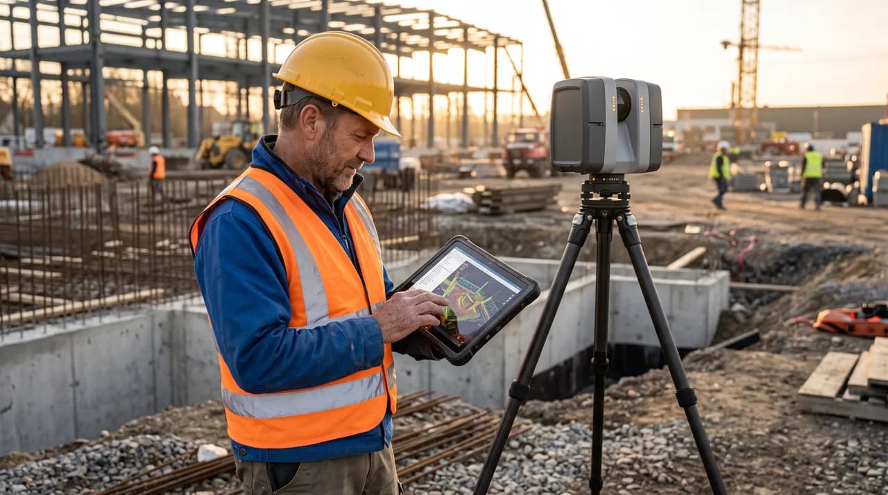
Good building surveying looks simple from the outside: point a scanner or camera at a building, capture the data, deliver a plan. In practice, the work is full of small decisions that determine whether the final documentation actually reflects reality — or quietly repeats the same errors that existing plans already contain. Across many building surveying and construction documentation projects over the years, a handful of patterns show up again and again, regardless of building type, size, or client industry.
This article collects those recurring lessons in one place. It is written for the people who commission surveys and rely on their results — property managers who need reliable floor areas for lease calculations, architects who need an accurate base for renovation planning, and facility managers who need documentation that will still be useful in five or ten years. None of this is theoretical. It reflects what actually goes wrong, why it goes wrong, and what tends to prevent it.
1. Patterns That Repeat Across Many Surveying and Documentation Projects
Every building is different, but the failure modes are surprisingly consistent. Whether the project is a 1970s office block, a residential complex from the 1920s, or a modern logistics hall, the same handful of issues tend to cause delays, disputes, or unusable documentation: existing plans that no longer match the building, measurement conditions that were underestimated, scope that was never clearly defined, and communication that broke down somewhere between the site visit and the final deliverable.
What makes these patterns interesting is that they are almost entirely avoidable. None of them require exotic technology or unusual expertise to solve — they require attention to process, realistic expectations about what a survey can and cannot capture, and clear communication before the first scan is ever taken. The rest of this article walks through each pattern in turn, starting with the most universal one: the gap between the plan and the building.
2. As-Built Almost Always Deviates from the Plan
One of the most consistent findings across surveying projects is that the existing plan — the one everyone assumed was accurate — rarely matches the building as it actually stands. Walls have shifted by a few centimeters during construction, tenants have altered partition layouts without updating documentation, and renovations from decades past were never properly recorded. In older buildings this is almost guaranteed; even in buildings completed within the last ten years, deviations of several centimeters in room dimensions or ceiling heights are common.
The deviations are rarely dramatic on their own, but they compound. A wall that is 4 cm out of position on one floor, combined with a staircase that was rebuilt slightly off-axis, can add up to a floor plan that no longer aligns vertically across a multi-story building. For property managers relying on plans to calculate rentable area, or architects using them as a base layer for renovation design, these small deviations translate directly into planning errors, incorrect area calculations, or clashes discovered only during construction.
This is precisely why an as-built survey is not a formality but a genuine risk-reduction step. Treating the existing plan as a starting hypothesis rather than ground truth, and verifying it against real measured data before any design work begins, consistently prevents costly surprises later in a project.
3. Typical Error Sources During the Measurement Itself
Even with modern laser scanning and photogrammetry, the measurement process itself introduces error sources that are easy to underestimate. Lighting conditions are one of the most common culprits: direct sunlight through large glass facades can wash out scan data or cause inconsistent exposure in photographic documentation, while poorly lit basements or technical rooms can leave gaps in point cloud density that only become apparent during post-processing.
Reflective and transparent surfaces cause a different kind of problem. Glass partitions, mirrors, polished stone floors, and stainless steel fixtures scatter or pass through the scanner's laser rather than reflecting it cleanly, producing noise, ghost points, or holes in the data exactly where accuracy matters most — often in lobbies, bathrooms, and modern office interiors that are full of exactly these materials. Experienced surveyors know to flag these areas in advance and either adjust scanner settings, add targeted photographic supplementation, or plan extra scan positions to compensate.
Movement during capture is a subtler issue. A scan can take several minutes per position, and any motion in the scene — a door swinging in a draft, people walking through a lobby, machinery vibrating a floor — can introduce blur or misregistration between overlapping scans. Finally, over long scan chains covering large buildings, small registration errors between individual scan positions accumulate, a phenomenon known as drift. Without adequate control points or reference targets distributed through the building, a scan chain that starts perfectly aligned can be measurably off by the time it reaches the far end of a large facility. Managing these error sources is less about equipment and more about experience: knowing where problems are likely before they occur.
4. Why Older Buildings Need More Scan Positions
A newer building with open floor plans, regular geometry, and few obstructions can often be captured efficiently with relatively few scan positions. Older buildings are a different story. Load-bearing walls that were added or removed over decades, irregular room shapes, narrow corridors, low basement ceilings, and dense mechanical rooms all reduce the line of sight available from any single scan position.
This matters because a laser scanner can only capture what it can see. Every column, built-in cupboard, or partial partition wall creates a shadow — an area with no data — that must be filled in from another position. In a modern open-plan office, a handful of well-placed scans might cover an entire floor. In a converted 19th-century building with small rooms, thick masonry walls, and multiple historical renovation layers, the same floor area might require two or three times as many positions to eliminate shadow zones and ensure the point cloud is dense and complete enough for reliable modeling.
The practical consequence is that project time and cost estimates cannot be based purely on square meters. Building age, layout complexity, and the presence of obstructions are at least as important a variable, and any survey provider that quotes without accounting for them is likely to either underdeliver on completeness or need to return to site for a second visit.
5. Communication Gaps Between Surveyor, Architect, and Client
A surprising share of problems in surveying projects have nothing to do with the measurement technology at all — they stem from information that never got communicated between the parties involved. A surveyor arrives on site without knowing that the architect needs ceiling heights measured to the structural slab rather than the suspended ceiling. A client assumes that "documentation of the facade" includes window reveals and sill depths, while the surveyor scoped only the flat wall plane. An architect delivers a CAD file expecting BIM-ready geometry, without having specified that requirement anywhere in the brief.
These gaps are rarely anyone's fault in isolation. They happen because building surveying sits at an intersection of disciplines — each party brings its own conventions, terminology, and assumptions about what "a survey" includes. A facility manager thinking in terms of maintenance access and asset tagging has a fundamentally different mental model of the deliverable than an architect thinking in terms of design layers and a property manager thinking in terms of leasable area.
The projects that run smoothly are consistently the ones where these three perspectives are brought together explicitly before work begins, rather than assumed to align. A short kickoff conversation that surfaces what each party actually needs from the data — not just what format it will arrive in, but what decisions it will be used to make — resolves most of these gaps before they become expensive.
6. Why a Clear Scope Definition Before Project Start Is Critical
Scope ambiguity is the single most common source of budget overruns and client frustration in surveying work. "Survey the building" sounds like a clear instruction, but it leaves dozens of questions unanswered: Which floors and rooms are included? Is the roof structure part of the scope? Are technical installations — HVAC ducting, electrical risers, plumbing — to be captured, or only architectural geometry? What level of detail is required — a schematic floor plan, or a fully dimensioned as-built with millimeter tolerances? Is a 3D point cloud deliverable expected, or only 2D CAD plans derived from it?
Each of these questions has a real cost implication. Capturing MEP (mechanical, electrical, plumbing) elements in a ceiling void can double the time required per room compared to capturing architectural surfaces alone. A tolerance requirement of a few millimeters, appropriate for retrofit and manufacturing applications, requires a different scanning density and registration approach than a schematic layout intended for marketing purposes.
What consistently separates well-run projects from problematic ones is a written scope definition agreed before the first site visit: which areas, which level of detail, which deliverable formats, and which accuracy tolerance. This document does not need to be long, but it needs to exist and be signed off by everyone with a stake in the outcome. Verbal agreements and assumptions are where scope creep and disputed invoices originate.
7. Typical Timeline Pitfalls
Timelines in surveying and documentation projects go wrong in predictable ways. The first is underestimating site access constraints: buildings that remain occupied during survey work require coordination with tenants, security clearances, and scheduling around business hours, all of which can stretch a two-day scanning job into two weeks of intermittent access. The second is treating post-processing as an afterthought — registering scan data, cleaning point clouds, and modeling CAD or BIM deliverables from raw capture data routinely takes several times longer than the on-site capture itself, and clients who are only shown a timeline for "the scan" are frequently surprised when the finished deliverable takes weeks longer.
A third recurring pitfall is sequencing surveys too late in a project's timeline. Architects sometimes commission the as-built survey after design work has already started, intending to reconcile the two in parallel. This regularly backfires: design decisions made against an assumed layout have to be revisited once the real measurements arrive, costing more time than an upfront survey would have taken. The survey is foundational data, not a parallel workstream, and should generally be sequenced accordingly.
Finally, weather and seasonal access matter more than clients often expect for exterior and facade documentation — drone-based capture depends on wind and light conditions, and roof access can be restricted by ice or heavy rain. Building a realistic buffer into the schedule for these dependencies, rather than assuming a fixed calendar slot, avoids a disproportionate share of the delays seen on real projects.
8. Why a Cheap, Rushed Survey Often Gets More Expensive Later
Surveying is one of those services where the lowest quote and the cheapest outcome are frequently not the same thing. A rushed survey — fewer scan positions than the building geometry actually requires, minimal on-site quality checks, no time budgeted for registering out drift across a large scan chain — produces a deliverable that looks complete on delivery but contains gaps or inaccuracies that only surface once someone tries to use it for real design or construction decisions.
The cost of that gap rarely disappears; it simply moves downstream and grows. A missing dimension discovered during construction means a site visit, a change order, and schedule delay, all of which cost far more than the marginal time it would have taken to capture that dimension correctly the first time. An inaccurate floor plan used to calculate rentable area can lead to disputed lease terms. A facade survey with unresolved reflective-surface gaps can force an architect to redesign a detail based on an assumption that turns out to be wrong.
This is not an argument for always choosing the most expensive option, but it is a strong argument for evaluating a survey quote against the scope and quality standard it actually promises, rather than price alone. A realistic quote that accounts for a building's true complexity — enough scan positions, adequate time for quality control, appropriate accuracy tolerance for the intended use — is consistently the cheaper option once the full lifecycle of the documentation is considered.
9. Documentation as a Foundation for Future Projects
One of the most underappreciated aspects of high-quality building surveying is that its value compounds over time. A well-executed as-built survey does not just serve the immediate renovation or leasing project it was commissioned for — it becomes the reference dataset for every future project touching that building. Facility managers use it for space planning and maintenance access years later. Architects working on a subsequent phase of renovation start from verified geometry instead of repeating the survey from scratch. Property managers use it to support due diligence during a sale or refinancing process.
This compounding value only materializes, however, if the documentation is stored, formatted, and structured in a way that remains usable. A point cloud or CAD file delivered in a proprietary format with no accompanying reference data, or a PDF plan with no underlying editable geometry, has a much shorter useful life than a well-organized deliverable with clear file structure, appropriate metadata, and formats that will still open in standard software a decade from now.
Treating a survey as a one-time deliverable for a single project, rather than as an asset that will be reused repeatedly over the life of a building, is a missed opportunity that shows up again and again. Buildings that have invested in accurate, well-structured documentation consistently spend less on repeat surveys and rework across their lifecycle than buildings that treat each project as a clean slate.
10. Conclusion
The lessons above are not exotic. Plans deviate from reality. Reflective surfaces and lighting cause measurement noise. Older buildings need more scan positions. Communication gaps between surveyor, architect, and client create rework. Undefined scope creates disputes. Timelines slip when post-processing and access constraints are underestimated. Cheap surveys often cost more in the long run. Good documentation pays dividends for years after the project that commissioned it has ended.
What ties these lessons together is a simple principle: building surveying is not a commodity task that can be fully specified by square meters and a delivery date. It is a discipline where experience — knowing where problems are likely to occur before they occur — determines whether the resulting documentation is a reliable foundation or a source of future rework. Across many building surveying and construction documentation projects over the years, the projects that go well are consistently the ones where scope is defined clearly upfront, measurement conditions are anticipated rather than discovered on site, and all parties communicate what they actually need from the data before the first scan is taken.
For property managers, architects, and facility managers planning a survey or documentation project, the most valuable question to ask a potential provider is not simply "how much will this cost," but "how do you handle the specific complexity of this building, and what happens when something doesn't go as planned." The answer to that question says more about the eventual quality of the deliverable than any quote ever will.