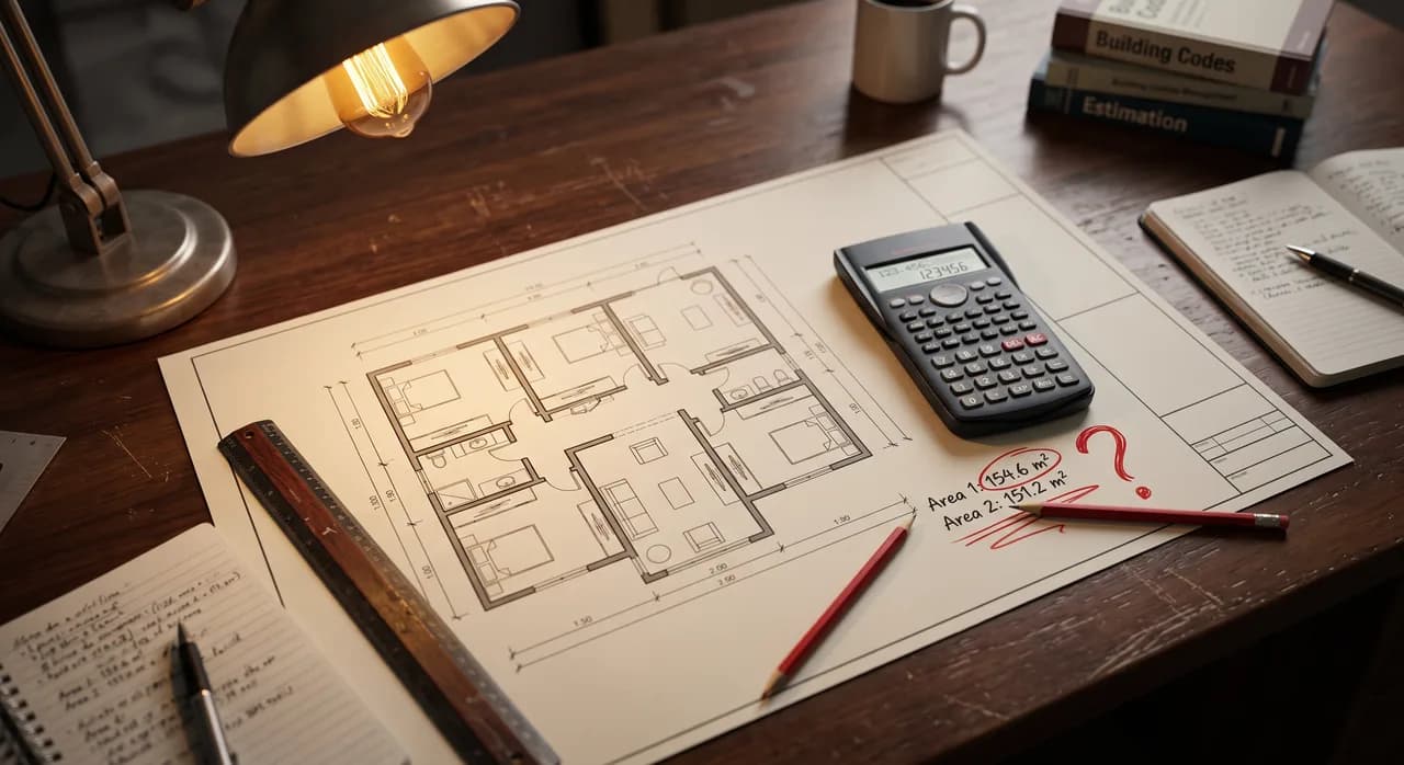
Floor area is the central figure for any property. It appears in the lease, it forms the basis for the allocation of service charges, and it feeds into every valuation and every financing discussion. Hardly any other number is used so often and questioned so rarely. That is precisely what makes it so treacherous: once an area has been recorded incorrectly, the error travels unnoticed through every document and multiplies over the years.
For owners, asset and property managers, a miscalculated floor area is therefore not an academic detail but a tangible economic and legal risk. A few square metres of deviation sound harmless, yet for a commercially let unit or an entire portfolio the consequences quickly add up to substantial sums. And in the event of a dispute, it is usually the landlord's side that bears the burden of proof for the area that actually exists.
This article shows the concrete consequences that incorrect area figures entail, why they arise in the first place, and how a documented, standards-based survey derived from a 3D measurement rules out such errors from the outset. This is not about scaremongering, but about the sober realisation that a reliable area basis is the cheapest insurance against a whole chain of expensive follow-on problems.
Floor Area as a Silent Source of Error in the Existing Stock
In most existing buildings, the area figure does not come from a current survey but from a source of unknown age. Often it is the original construction plan, sometimes a calculation from the purchase contract, sometimes simply a value that was at some point copied over from a predecessor document. No one can say with certainty by which method this figure was arrived at, or whether it still reflects the current state of the property at all.
The problem is compounded because, in practice, area figures are rarely determined anew but are instead carried forward. On a change of ownership, the buyer adopts the seller's figures; on a new letting, the manager adopts the figures from the old lease; and the valuation in turn falls back on the same details. A single error at the source thus propagates through the entire documentation without anyone ever having checked it.
On top of this, properties are not static. Partition walls are moved, attics are converted, ancillary rooms are repurposed as office space, extensions are erected. Such changes often fail to find their way into the existing records. The documented area and the actual area drift ever further apart with each unrecorded alteration, until the figure in the contract has scarcely anything to do with the reality on site.
Incorrect Rent and Distorted Service-Charge Allocation
The most immediate consequence of an incorrect area concerns the rent. If the area is set too high, the tenant pays for years for square metres that do not exist. If it is set too low, the owner forfeits, in every accounting period, income that can never be recovered. Both directions are expensive; it is simply a different party that bears the cost in each case, and both constellations carry considerable potential for conflict.
The error has even wider-reaching effects on the allocation of service charges. In multi-party buildings, the allocable costs are usually distributed according to the ratio of the individual areas to the total area. If a single area is recorded incorrectly, the allocation key for the entire building no longer holds. One unit then permanently bears too much, the others bear too little, and the error repeats itself year after year in every statement.
Because the service-charge statement is an annually recurring process, the accumulated damage grows with each period. What in a single year looks like a minor rounding error becomes a substantial sum over the term of a tenancy. If a correction is later required, the manager may have to re-invoice retrospectively over several years, which is administratively burdensome and strains the relationship with the tenants.
Reclaims, Rent Reduction and Legal Disputes
As soon as a tenant has reason to believe that the area agreed in the contract lies significantly above the actual area, a legal point of attack arises. In the case of substantial deviations, the overpaid rent can be reclaimed, and depending on the constellation, claims for past periods may also come into consideration. A seemingly harmless numerical discrepancy thus turns into a concrete financial claim against the landlord.
The evidential situation is decisive here. If the tenant asserts a smaller area, the landlord's side must generally be able to demonstrate how the agreed area was arrived at and that it was determined correctly. Anyone who can rely only on an old construction plan or a calculation that cannot be traced is in a poor position in the dispute. Without a documented, traceable basis of determination, one's own figure cannot, in case of doubt, be defended.
A single dispute rarely stays alone. If a tenant uncovers an area deviation, the underlying source of error often affects other units of the same building or portfolio as well. What begins as an isolated case can grow into a wave of reclaims and adjustment demands. The effort involved in review, recalculation and legal clarification then exceeds the cost of a clean survey many times over.
Distorted Valuations and Endangered Financing
Floor area is one of the most important value drivers of any property valuation. Both the income approach and the comparative approach build directly on the usable area, and even a moderate percentage deviation shifts the result noticeably. An area set too high leads to an overly optimistic valuation; an area set too low leaves value potential unused. In both cases, the valuation is based on a foundation that does not withstand scrutiny.
This becomes particularly delicate in transactions and financing. As part of a due diligence, buyers and financing banks now examine the area bases more closely than in the past. If it turns out that the stated areas are not reliably documented, this can push down the purchase price, delay the negotiation or jeopardise the financing altogether. A mortgage lending value based on questionable areas is not a solid basis for any bank.
Added to this is the loss of trust that reaches beyond the individual case. Anyone who presents an untraceable figure for the area must expect that the remaining details about the property will also be critically questioned. Conversely, a cleanly documented, standards-based area determination signals professionalism and accelerates every review process, because the counterparty and the appraiser can trust the basis.
Contradictory Figures in the Documents
An often underestimated symptom of faulty area recording is contradictory figures within the same property. The lease names one value, the exposé another, the valuation a third, and the management system holds a fourth figure. Such discrepancies arise because different documents were fed at different times and from different sources, without any reconciliation ever taking place.
Taken on its own, each individual figure appears plausible, yet in combination the contradictions undermine the credibility of the entire documentation. At the latest when a tenant, a buyer or an appraiser places several documents side by side, the inconsistency becomes apparent. At that moment it can no longer be said which of the figures is correct, and in case of doubt the one least favourable to one's own side is assumed.
The cause almost always lies in the absence of a single, binding source. As long as every department and every document carries the area forward independently, deviations are only a matter of time. A central, documented area determination on which all documents rely puts an end to this divergence and creates a contradiction-free data basis for the entire property.
Why Floor Areas Are Calculated Incorrectly in the First Place
The most common cause is outdated plans. Construction drawings depict the planned, not necessarily the built, state, and even if they were originally correct, they do not reflect later alterations. Anyone who lifts an area from an old plan thereby potentially adopts a state that has long since ceased to exist on site. Subsequent measurement at the building then regularly deviates from the drawing.
A second, particularly underestimated cause is the mixing of different area standards. In Germany, several calculation systems exist side by side, for example DIN 277 with its floor-area categories and the gif guidelines for calculating the rental area for commercial and residential space. These standards count different area components and deliver different results for the same property. If figures from different systems are thoughtlessly combined or compared, errors arise that, in the end, no one can any longer disentangle.
Added to this are unrecorded changes of use and conversions, as well as simple transcription errors. A storage room becomes an office, a balcony is glazed, a partition wall is removed, and none of these events is carried forward in the area calculation. In sum, the result is a stock whose documented areas are neither methodically consistent nor congruent with the actual state. The sources of error therefore lie less in bad faith than in the confusion that has grown over the years.
How a Documented 3D Survey Rules Out Errors
A 3D measurement addresses precisely this root, because it captures the actual, current state of the property instead of a carried-forward plan value. In a laser scan, the space is recorded to the millimetre as a point cloud that reproduces the existing geometry exactly. What is measured is the as-is state on site, including all conversions and particularities that appear in no old plan. This eliminates the most common source of error, the outdated plan, entirely.
From this data basis, the areas can be derived according to the respectively appropriate standard, be it DIN 277 or the gif guideline for rental-area calculation. What is decisive is that the calculation is documented traceably: which rooms, with which allocation, according to which standard were included is substantiated step by step. Instead of a bare number, the result is a justified, verifiable area determination that withstands precisely the requirements of a due diligence or a legal dispute.
From this arises the actual value for the property holder: a single, binding and documented area basis on which the lease, the service-charge statement, the valuation and the financing all rely equally. Contradictions between documents disappear because all details come from the same source. Moreover, the point cloud and the plans derived from it remain permanently available, so that future conversions can be cleanly carried forward and the stock does not diverge again.
Weighed against the possible consequences, which range from years of incorrect allocation through reclaims to endangered financing, the effort of such a survey is manageable. It transforms the silent source of error that is floor area into a reliable figure that, in case of doubt, is not refuted but substantiated.
Conclusion
A miscalculated floor area is not an isolated numerical error but the starting point of a chain of expensive consequences. It distorts rent and service-charge allocation, opens up reclaim and rent-reduction claims for tenants, undermines valuations and financing, and leaves contradictory details throughout the documentation. Because area values are carried forward rather than checked, a single error travels unnoticed through all documents and grows over the years into a considerable risk.
The causes are known and avoidable: outdated plans, the mixing of different standards such as DIN 277 and gif, and unrecorded conversions. Anyone who knows these sources can systematically eliminate them, instead of relying on figures of unknown origin.
A documented, standards-based survey derived from a 3D measurement creates exactly this certainty. It captures the actual state, derives the area traceably according to the appropriate standard, and delivers a binding basis for all documents. For owners and managers, this is the cheapest safeguard against a whole series of avoidable conflicts and losses.