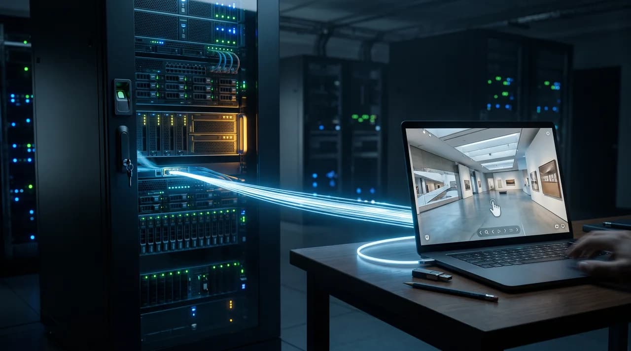
When a real estate agency, developer, or facility manager commissions a virtual tour, the deliverable that gets the most attention is almost always the same thing: a link. Click it, and a client, tenant, or investor can walk through a property from their couch. It looks finished. It looks like the whole product. But that link is a rendering — a front-end presentation layer sitting on top of a much larger and more valuable body of data that was captured during the scan.
This is the distinction that gets lost in most vendor conversations, and it is the one that matters most a year or two down the line. A virtual tour link tells you what a space looked like on the day it was scanned, viewed through a specific vendor's software. The underlying data — raw 360° panoramas, a 3D point cloud, dimensional measurements — tells you what the space actually is, geometrically and visually, independent of any particular viewer or platform. One is a presentation. The other is an asset. Confusing the two is how portfolio owners end up locked into a single vendor's ecosystem without ever having decided to be.
This article is about making that distinction explicit before it becomes a problem — what is technically involved in a virtual tour capture, why embed links alone leave you exposed, and what to ask for and write into contracts so that the data your money paid for actually belongs to you.
What's Technically Behind a Virtual Tour
A modern virtual tour, whether built with a Matterport-style camera, a NavVis or Leica scanner, or a comparable capture system, is the product of several distinct technical layers, not one single file. The first layer is the raw imagery: a series of high-resolution 360° panoramic photographs taken at fixed scan points throughout the property, typically every few meters. These panoramas are the visual foundation of everything a viewer later sees when they "walk" through the tour.
The second layer, and the one most often invisible to clients, is the point cloud. Many professional scanning systems capture depth information alongside the imagery — using LiDAR, structured light, or photogrammetric triangulation — producing a dense cloud of millions of XYZ coordinate points that describe the actual three-dimensional geometry of the space: wall positions, ceiling heights, door openings, structural columns, even furniture. This point cloud is what makes accurate floor plans, room dimensions, and volumetric measurements possible in the first place; it is not decorative, it is the geometric ground truth of the building.
From these two layers, a vendor's software then derives a series of downstream products: the interactive dollhouse view, automatically generated 2D floor plans, area calculations, and the stitched, navigable tour itself. Each of these derived products depends entirely on the raw panoramas and point cloud beneath it. If you only ever receive the finished tour link, you have access to the derived product but not the source material it was built from — and that source material is where the long-term value actually sits.
The Problem with Pure Embed Links
An embed link is convenient. It requires no hosting, no file management, no technical integration beyond pasting an iframe or URL into a listing page or CRM. For a single-property, one-off marketing use case, that convenience is often all that's needed. The trouble starts when that link becomes the only thing you have.
An embed-only arrangement means the actual tour — the hosted viewer, the panoramas, the point cloud, everything — lives entirely on the vendor's servers, under the vendor's account, governed by the vendor's terms of service. You are, in effect, renting access to your own property's data. If the vendor changes its pricing tiers, gets acquired, discontinues a hosting plan, or simply shuts down, the link can go dark with no recourse — and no independent copy of the underlying capture exists anywhere in your organization. This is not a hypothetical: hosting platforms in this space have been acquired, repriced, and sunset before, and standalone links tied to a defunct account are simply gone.
There is a subtler cost, too, that shows up even while the vendor relationship is fine: switching cost. If every past capture is trapped inside one platform's proprietary format and hosting environment, moving to a better-value provider, consolidating vendors after an acquisition, or bringing capture in-house all become far more expensive and disruptive than they should be. That is the definition of vendor lock-in, and it is rarely the result of a deliberate decision — it is the accumulated consequence of never having asked for the raw files in the first place.
Why This Matters More for Large Portfolios and Chains
For a single listing, weak data ownership is an inconvenience. For a portfolio of fifty, two hundred, or a thousand properties — the situation facing property management firms, hotel and retail chains, and institutional investors — it is a structural liability. Every scanned property that exists only as a hosted link represents data that cannot be aggregated, cannot be queried across the portfolio, and cannot be migrated without redoing the capture from scratch.
Consider what a portfolio owner actually wants to do with this data over time: benchmark space utilization across locations, feed floor plans into a centralized facility management system, run renovation planning across dozens of similar units, or simply switch to a new visual media provider without losing five years of historical scans. None of that is possible if the underlying files sit scattered across multiple vendor accounts, in formats that vendor alone can read, with no standardized export ever having been requested. Multiply the switching cost of a single tour by a thousand properties, and what was a minor annoyance becomes a multi-year, budget-relevant migration project — one that a slightly different contract, signed at the outset, would have avoided entirely.
There is also a governance dimension for larger organizations: internal audit, insurance documentation, and compliance teams increasingly want verifiable, portable records of building condition and dimensions that don't depend on an external party's continued goodwill or continued existence. Owning the raw data is what makes that kind of internal record-keeping possible.
Which Data Components Actually Matter
Not everything generated during a scan needs to be retained forever, but a short list of components genuinely matters and should be treated as non-negotiable deliverables. The raw 360° panoramic images are first: full-resolution, unwatermarked files for every scan position, since these are what any future tour, rendering, or AI-based visualization pipeline would need to start from.
Second is the point cloud or mesh export, ideally in an open, non-proprietary format such as E57, PLY, XYZ, or OBJ rather than a vendor-specific project file that only their own software can open. E57 in particular has become something of a neutral standard in the scanning industry precisely because it is vendor-agnostic and supported by most CAD and BIM tools. Third are the floor plan exports — in editable vector formats like DXF or DWG, not just a flattened PDF or PNG image — along with any dimensional and area data the scan produced.
Fourth, and easy to overlook, is metadata: the scan date, the coordinate reference or alignment used, camera and scanner model, resolution settings, and site notes. Without this metadata, a point cloud is just a cloud of coordinates with no context for how to interpret or reuse it later. A vendor who can hand over all four of these components on request, in open formats, is one who is not building their business model around holding your data hostage.
What to Clarify Contractually Before a Project Starts
All of this should be settled before the first scan appointment, not negotiated after the fact when leverage has already shifted to the vendor. Four points deserve explicit contract language.
Ownership: state plainly that the client owns the raw panoramas, point cloud data, and derived floor plans upon full payment, and that the vendor's rights are limited to hosting and processing, not ownership. Deliverables: specify exactly which files will be handed over — not "a virtual tour" as a vague deliverable, but an itemized list including raw imagery, point cloud export, and floor plan files. Formats: name the actual file formats (E57 or PLY for point clouds, DXF for floor plans, JPEG or equivalent for panoramas) rather than leaving format selection to the vendor's convenience.
Finally, retention: agree on how long the vendor will keep an accessible backup copy of the raw data after project completion, and on what timeline and in what format re-delivery can be requested if files are ever lost locally. None of these clauses are unusual or aggressive to request — a vendor confident in their own workflow will have handled this question before and will have standard language ready. Hesitation or vague deflection on any of these four points is itself useful information about how the rest of the relationship is likely to go.
Point Clouds as a Foundation for CAD, Facility Management, and Renovation Planning
The point cloud deserves particular attention because its value compounds well beyond the original marketing purpose of the scan. A properly captured, millimeter-accurate point cloud is directly usable as the geometric basis for as-built CAD drawings, meaning architects and engineers working on a renovation or expansion do not need to re-measure the building by hand — the existing scan already contains true wall positions, ceiling heights, and structural elements.
For facility managers, that same point cloud can feed into computer-aided facility management (CAFM) systems, giving space planning, maintenance scheduling, and capacity analysis a verified spatial model to work from instead of outdated or approximate drawings. For renovation and refurbishment projects specifically, having an accurate pre-existing point cloud eliminates a meaningful chunk of the pre-planning phase, since contractors can work from real dimensions rather than site visits and manual tape-measure surveys.
None of this is available if the point cloud was never delivered in the first place — it is precisely the layer of data that stays invisible in a standard embed-link tour, and precisely the layer that turns a one-time marketing expense into a reusable, multi-year asset for the building's entire lifecycle.
How to Evaluate a Vendor's Transparency on This Topic
The most reliable signal of how a vendor will handle data ownership is how directly and specifically they answer the question before any contract is signed. Ask plainly: "If we stop working together, what exactly do we walk away with, and in what formats?" A vendor with a mature, client-respecting process will answer with specifics — file types, delivery method, and timeline — without needing to check with legal or sales leadership first.
Watch for vague answers that lean on phrases like "you'll always have access to your tour" without addressing the raw data question at all, since access to a hosted link is not the same as ownership of the source files. Ask to see a sample data package from a past project, including the point cloud file itself opened in a neutral viewer, not just a screenshot of the finished tour. A vendor unwilling or unable to produce this is signaling something about their internal workflow, whether or not it's intentional.
It is also worth checking whether the vendor's standard contract template already contains ownership and deliverable language, or whether it has to be added as a custom clause at your request. The former suggests this is a routine, well-understood part of their business; the latter suggests you may be the first client to ask.
Conclusion
A virtual tour link is a convenient, client-facing presentation of something much more substantial: a precise digital capture of a real building, made up of raw panoramas, a geometrically accurate point cloud, and the floor plans derived from it. Treating the link as the entire deliverable is an understandable mistake, but it is one that becomes expensive exactly when it matters most — during a vendor transition, a portfolio-wide migration, or a renovation project that could have used the existing scan data instead of starting from zero.
The fix is not complicated. It requires knowing which components of a scan actually carry long-term value, naming them explicitly as deliverables, specifying open formats rather than proprietary ones, and settling ownership and retention terms in the contract before the first scan appointment. A vendor who handles this transparently is signaling something important about how the rest of the relationship will go — and a real estate business that insists on it is simply making sure that what it paid for actually belongs to it.