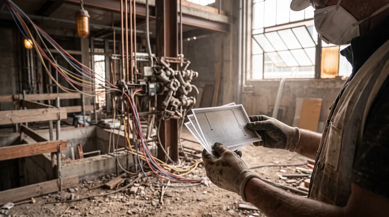
It usually starts with a crack. A hairline fracture in a basement wall, discoloration behind a facade panel, water intrusion around a window that was sealed three years ago. Someone asks the obvious question: was this done correctly at the time? And that is where things get complicated, because answering it requires reconstructing a construction phase that no one thought to document with legal disputes in mind.
Construction defects rarely announce themselves during the build. They surface months or years later, once loads have settled, materials have weathered, or a tenant complains about a draft that was not there at handover. By then, the site looks nothing like it did when the disputed work was carried out. The people who did the work may have moved on. The only thing standing between a legitimate warranty claim and an expensive stalemate is whatever documentation existed at the time — and in far too many cases, that documentation turns out to be thinner than everyone assumed.
This is not a niche problem. Property managers, general contractors, and architects encounter it constantly: an insurer wants proof of pre-existing condition, a warranty claim hinges on what was actually behind a wall before it was closed, or a handover dispute comes down to whether a defect existed on day one or developed afterward. Traditional documentation methods — photos and handwritten logs — were never designed to answer these questions with the precision that disputes demand. Understanding exactly where they fall short is the first step toward avoiding costly disputes later.
The Core Problem: Photos Without Spatial Context
A photo captures a moment, not a place. Site photography, however diligent, produces a stack of individual images that show what something looked like at one angle, at one point in time, with no inherent connection to where exactly in the building that image was taken. Was that pipe run three meters or four meters from the north wall? Which floor was this on, and how does it relate to the electrical conduit visible in a different photo taken a week later? Without spatial metadata, a photo archive is a collection of disconnected snapshots that require someone's memory to stitch back together.
That reliance on memory is the fragile part. Site supervisors change, subcontractors rotate through a project, and project managers move to the next job long before a defect surfaces. Two years after handover, the person who could have said "yes, that beam connection was photographed from the east side, second bay" may no longer be reachable, or may simply not remember. What remains is a folder of JPEGs named IMG_4471.jpg through IMG_4522.jpg, sorted by capture date, with no reliable way to locate any single image within the building's actual geometry.
Even well-organized photo documentation — folders per floor, per trade, per date — only approximates spatial context. It tells you roughly where a photo belongs, not precisely where the camera stood, what it was pointed at, or how that location relates to elements that were photographed separately, on a different day, by a different person. When a dispute requires reconstructing the exact sequence and position of construction elements, that approximation is rarely good enough.
Handwritten Site Diaries and Logs: Necessary, Not Sufficient
The construction site diary is a genuine institution, and for good reason. A daily log noting weather conditions, crews on site, deliveries received, and work completed provides a chronological backbone that photos alone cannot. In many jurisdictions it is a contractual requirement, and in disputes it often serves as the first document anyone reaches for. Nobody is arguing that site diaries should be abandoned.
But a site diary describes what happened in words, and words compress reality. "Waterproofing membrane applied to basement wall, section B" is a true and useful entry, but it says nothing about layer thickness, overlap at the seams, how the membrane was terminated at a penetration, or whether a specific corner detail matched the specification. The diary confirms that work occurred; it does not preserve the work itself. Two years later, when an insurer wants to know exactly how a detail was executed before it was covered over, the diary offers a summary, not evidence.
There is also the matter of legibility and consistency. Handwritten logs vary by author, by day, by how rushed the site supervisor was that afternoon. Entries get abbreviated under time pressure, terminology drifts between different people filling in the same log, and gaps appear on the busiest days — precisely the days most likely to matter later. None of this is a criticism of the people keeping these records; it is simply a structural limitation of narrative, handwritten documentation trying to do a job it was never built for: serving as forensic-grade evidence.
The Core Dispute Problem: You Cannot Measure a Photo
Here is the issue that ultimately decides most disputes: a photograph, however sharp and well-lit, cannot be measured after the fact. If a claim hinges on whether a support beam was installed 20 centimeters off its specified position, or whether insulation thickness met the required 16 centimeters, a photo can suggest an answer but cannot prove one. There is no reliable way to extract a trustworthy dimension from a 2D image without a calibrated reference object in frame, and even then, accuracy is limited and easily contested by the opposing party's expert.
This becomes acute in exactly the situations where money is at stake. A structural engineer reviewing a settlement claim needs to know precise elevations and distances from the time of construction, not an estimate derived from a photo's perspective and a rough sense of scale. An insurer assessing a water damage claim wants to know the exact position and dimensions of a penetration that was sealed years ago. A court-appointed expert asked to determine whether a defect is due to poor original workmanship or subsequent damage needs measurable, dimensional facts — and a photo archive simply cannot supply them.
This gap is precisely why disputes so often stall into "he said, she said" territory. Both parties may have photos. Neither party has measurements. The result is a dispute resolved on the credibility of testimony and the persuasiveness of experts working from insufficient source material, rather than on hard geometric fact. In cases where the financial exposure runs into tens or hundreds of thousands of euros, that is an uncomfortable position for any developer, general contractor, or property manager to be in.
Spatial Relationships Between Rooms and Components Get Lost
Buildings are systems, not collections of isolated details. A ventilation duct's route depends on where a structural beam sits; a plumbing riser's position depends on the wall it is chased into; the interaction between adjacent rooms often explains why a defect in one location causes symptoms in another. Traditional documentation, built photo by photo and room by room, struggles to preserve those relationships because it was never captured as a continuous, coordinated whole.
Consider a common scenario: moisture appears in a ground-floor office two years after handover, but the actual failure point is a poorly sealed penetration one floor up, where a cable tray passes through a fire-rated wall. Photos exist of both locations, taken on different days by different trades documenting their own work. Nothing in the photo archive shows how those two locations relate to each other in three-dimensional space, because no one was documenting the building as a coherent whole — each trade was documenting its own scope in isolation.
This loss of spatial continuity is often the real reason disputes drag on. Not because no documentation exists, but because the documentation that does exist cannot be reassembled into an accurate picture of how the building's components actually relate to one another. Establishing that relationship after the fact, once walls are closed and finishes are installed, frequently requires invasive investigation — opening up ceilings or walls — that would have been unnecessary if the original spatial data had simply been preserved.
Where Traditional Documentation Hits Its Limits in Disputes
Three scenarios recur across the industry, and in each one, the limits of photos and diaries become expensive rather than merely inconvenient.
Warranty claims. A property owner notices a defect within the statutory warranty period and asks the contractor to remedy it at no cost. The contractor disputes that the defect stems from their work, arguing it may result from subsequent modifications, misuse, or unrelated settling. Resolving this requires proving the as-built condition at the time of handover — not a general impression of it, but its specific geometry and material condition. Photo folders and diary entries rarely settle this cleanly, which pushes the dispute toward costly expert opinions, or worse, litigation.
Insurance claims. After water damage, fire, or structural movement, an insurer needs to establish what existed before the event to determine causation and scope of coverage. If the pre-loss condition is only documented in scattered photos, the insurer's assessor is left interpolating, and interpolation invites disagreement, delayed payouts, and sometimes outright denial of otherwise valid claims.
Handover records. At project completion, the handover protocol is supposed to establish a definitive baseline: this is the condition the building was accepted in. But if that baseline consists only of a punch list and a folder of photos, it offers little protection to either party once the building has been in use for a few years and something is disputed. Neither the developer nor the incoming property manager has a reliable, measurable record to return to.
In all three cases, the underlying problem is identical: the documentation that exists describes the building in approximate, narrative terms, at precisely the moment when a dispute demands precise, geometric ones.
How 3D Scanning and Point Clouds Close These Gaps
This is the point where laser scanning and photogrammetry-based 3D documentation change the equation. Rather than producing a set of disconnected images, a 3D scan of a construction phase generates a point cloud — a dense, georeferenced set of millions of measured points that together form an accurate, navigable, three-dimensional record of the site exactly as it existed at the moment of capture.
The practical difference is significant. A point cloud is measurable. Anyone reviewing it later can extract a precise distance, elevation, or angle between any two points in the scan, without needing to have been present during the original capture and without depending on anyone's memory of where a camera was standing. Every wall, beam, duct run, and penetration is preserved in its true spatial relationship to everything else on site, because it was all captured within the same coordinate system in a single continuous scan rather than assembled after the fact from isolated photos.
This also resolves the spatial-context problem described earlier. Instead of guessing how two photographed details relate to each other, anyone can walk through the point cloud virtually and see, directly, how the duct on the upper floor relates to the ceiling below it, or how a structural element on one side of a room lines up with a penetration on the other. The documentation is no longer a set of fragments requiring reconstruction; it is the building itself, preserved at scale, ready to be measured whenever a question arises — whether that is next week or five years from now.
Practical Cases: From Shell Construction to Handover
The value of this approach becomes concrete across a project's lifecycle. During shell construction, scanning structural elements, reinforcement, and mechanical, electrical, and plumbing rough-ins before they are closed off with drywall or flooring creates an as-built record of exactly what exists behind every finished surface. If a dispute later arises about whether a fire-rated penetration was sealed correctly, or where exactly a load-bearing element sits relative to a later renovation, the answer is not a matter of memory or inference — it is available in the scan, measurable to the millimeter.
During the finishing phase, scans of completed work — waterproofing before tiling, insulation before cladding, façade details before final render — provide the same protection for trades whose work becomes invisible the moment the next trade begins. Subcontractors benefit from this as much as developers do: a scan documenting correctly installed work is a defense against unfounded claims just as much as it is evidence for legitimate ones.
At handover, a complete 3D scan of the finished building, paired with an accurate floor plan and measured room data, establishes the definitive baseline referenced above. This is the record both the outgoing contractor and the incoming property manager or owner can point to years later, whenever a question arises about the building's original condition. For property managers overseeing dozens of units, that baseline also becomes an operational asset — a reliable reference for renovations, tenant disputes, and facility planning long after any warranty period has expired.
Practical Recommendations for Developers, Property Managers, and Architects
A few concrete steps make the difference between documentation that merely exists and documentation that actually holds up when it matters.
First, schedule scanning at defined milestones rather than leaving it to chance — before foundations are covered, before drywall closes in rough-ins, before cladding conceals waterproofing and insulation, and at final handover. Building this into the project schedule, alongside existing photo and diary requirements, costs comparatively little relative to the cost of a single unresolved dispute.
Second, treat 3D documentation as a contractual deliverable, not an optional extra. Specifying scan documentation in contracts with general contractors and subcontractors clarifies responsibility upfront and removes the awkward negotiation that otherwise happens after a defect has already surfaced.
Third, store and index scan data so it remains retrievable. A point cloud is only useful if someone can actually find and open it years later; pairing it with clear building and location references, and archiving it independently of any single contractor's internal systems, ensures the documentation outlives personnel changes, contractor turnover, and company acquisitions.
Finally, treat this as a complement to, not a replacement for, existing practices. Photos remain useful for quick visual reference, and site diaries remain valuable for chronology and context. The point is to close the specific gap where those methods cannot deliver: measurable, spatially coherent, retrospectively reliable evidence of what a building actually looked like at a given point in time.
Conclusion
Construction defects have a way of surfacing long after the people and paperwork that could explain them have moved on. Photos and site diaries, however carefully kept, were never designed to answer the precise, measurable questions that warranty claims, insurance assessments, and handover disputes eventually demand. They preserve impressions and narratives; they do not preserve geometry.
3D scanning closes that gap by capturing the building itself, at scale, in a form that remains measurable indefinitely. For developers, property managers, and architects, building this into standard practice at key construction milestones is a modest investment that pays for itself the first time a dispute would otherwise have been decided by guesswork instead of evidence.