Why visitors get lost in large buildings – and what digital wayfinding changes
In clinics, at fairs and on campuses, searching costs working time daily. The problem is rarely the signage but its static nature.
In sprawling buildings time is lost daily – by visitors searching for the way and by staff explaining it. In clinics that ties up nursing staff, at fairs it frustrates exhibitors, on corporate campuses it delays meetings.
The problem is rarely the signage itself. It is its static nature.
Why classic signage reaches its limits
A sign shows a direction, not a route. It works as long as the visitor finds the right sign at every decision point – and in buildings that have grown over time, that is regularly not the case.
Structural weaknesses add up:
- Moves and conversions make signage outdated. Updating costs money and is postponed.
- Multilingualism hits space limits. Nobody reads four languages on one sign.
- Temporary destinations – today's lecture room, a stand at a running fair – cannot be represented at all.
- Accessible routes are rarely signed separately although they differ from the standard route.
What digital wayfinding does differently
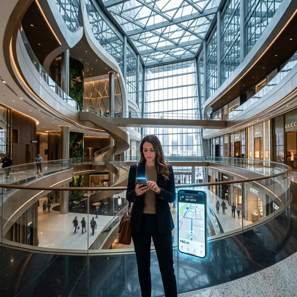
With AR indoor navigation the user sees the route as a line or arrow directly in their smartphone camera image. They follow no abstract direction but a concrete trace on the floor ahead.
The decisive technical point: this works without GPS, which is useless inside buildings anyway. Positioning is visual – the camera compares what it sees with a previously captured 3D model of the building and derives the exact position.
Infrastructure also disappears: no Bluetooth beacons to maintain and re-battery, no Wi-Fi triangulation that tips over with network changes.
Without an app: the practically decisive point
The greatest hurdle of any indoor navigation was long the app download. A visitor coming to a clinic once a year installs no app for it.
Modern implementations therefore run in the browser: scan a QR code at the entrance, navigation starts. No store, no account, no installation. That is the difference between a system that gets used and one that exists.
Where the benefit is greatest
Clinics and medical centres. Patients are unfamiliar with the building, often anxious and frequently accompanied. Every direction given ties up staff needed elsewhere.
Fairs and congress centres. Destinations change with every event – static signage cannot represent that in principle.
Universities and campuses. At the start of term hundreds search for the same rooms simultaneously.
Industrial sites and logistics centres. Here it is less about visitors than external contractors and technicians needing a specific installation – and the time they spend searching.
Shopping centres. The route to the shop decides whether it is visited.
The underestimated case: maintenance
In facility management often lies the largest economic lever. An external technician heading for the defective valve in the third basement regularly spends more time searching than repairing.
If navigation is linked with the plant documentation, it not only leads to the place but also displays the relevant data there: maintenance history, data sheet, current fault report. The technician stands at the installation with the documents in view instead of having to gather them beforehand.
The basis is a building model
For this to work, the building must be captured completely once – typically via a 3D scan. From the model both the positioning basis and the stored route network are derived.
The pleasant side effect: the same capture is simultaneously a dimensionally accurate building documentation reusable for planning, letting and area determination. Anyone scanning anyway should think navigation along from the start.
What capturing a large building involves
The basis of any indoor navigation is a completely captured building. For sprawling properties that is a project of its own scale: a mid-sized clinic building comprises several hundred rooms over several floors, plus connecting corridors, stairwells and outdoor areas. Capture therefore proceeds in stages, usually floor by floor and outside peak hours. Plan realistically for several weeks of capture and preparation. The effort arises once – changes afterwards affect only the altered areas and can be updated without rebuilding the whole system.
Route accessible paths separately
A point regularly forgotten in planning and decisive in operation: the shortest route is not the best for everyone. Anyone travelling with a wheelchair, walker or pram needs routes without steps, with sufficient door widths and lift use. A system that knows only one route reliably guides these users into the stairwell. Accessible alternative routes belong in the network from the start, not as a later addition. In clinics and public buildings this is not just a service question but increasingly a requirement.
Multilingualism without a space problem
Where signage fails for lack of surface, digital guidance has a structural advantage: the language hangs on the user's device, not on the sign. Ten languages cost the same wall space as one – none. For clinics with international patients, for exhibition grounds and universities this is a tangible advantage over any physical system. What matters is translating not only the interface but the destination names – a user searching for radiology will not find the way if the destination exists only in German.
How maintenance works in operation
A system whose updates require an external provider goes stale just as reliably as signage. Clarify before introduction who creates, renames and removes destinations and how laborious that is. With frequently changing destinations – lecture rooms, fair stands, temporary clinics – maintenance must be possible internally and without specialist knowledge, ideally through a simple interface. Where that requirement is unmet, the system becomes unusable after the first restructuring, regardless of how well the technology works.
The fallback when technology fails
No digital system fully replaces basic signage. Users without a smartphone, with an empty battery or without reception must still find their way, and in emergencies the classic requirements for escape-route marking apply anyway. Digital guidance therefore complements physical signage rather than replacing it. Sensible is a reduced basic signage for the main directions, supplemented by digital fine guidance to the specific destination – combining the reliability of one with the flexibility of the other.
Related articles
Explore AR property visualisation
See what the service includes, which source material is useful and how a typical project starts.