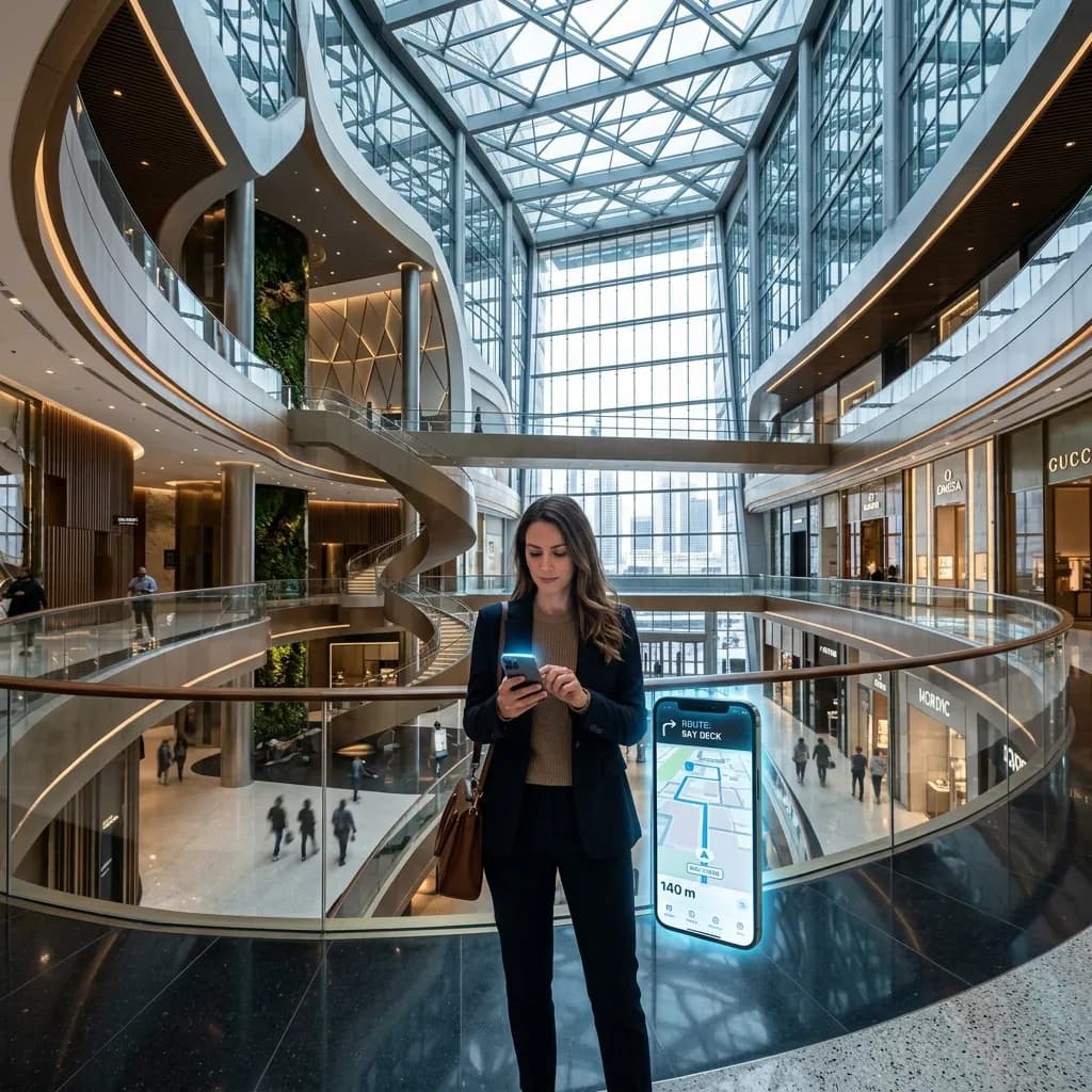
Always on the right track: Matterport indoor navigation for commercial properties
Whether shopping mall, hospital, or large stage – this is how you create real added value for visitors through forward-looking digital guidance.
Each of us knows the feeling: You enter a huge university hospital, a sprawling shopping mall, or a confusing exhibition complex – and are immediately disoriented. While outside we blindly rely on Google Maps, GPS-supported navigation usually ends abruptly at the entrance door. For visitors, this means stress and frustration.
For operators, center managers, and facility managers, however, this disorientation means much more: loss of revenue, inefficient visitor flows, and a massive time burden on info desk staff. In this B2B guide, we demonstrate how the latest LiDAR technology and digital twin concepts (Matterport) solve the problem and significantly enhance large commercial properties through smart indoor navigation (wayfinding).
1. The Problem: The Costs of Disorientation
In complex large properties, a physical guidance system (signs, floor markings) is usually rigid, expensive to update, and often difficult for visitors to decode.
The economic impact is severe:
- Hospitals & Clinics: When patients or visitors cannot find wards, they arrive late for appointments. This delays the entire hospital workflow. Nursing staff are interrupted dozens of times daily by people looking for their way, which wastes expensive work time.
- Shopping Centers (Retail): The "lost" factor lowers the willingness to buy. If customers cannot quickly find their target store, their time spent in the center decreases. Impulse purchases do not happen.
- Trade Fairs & Congress Centers: Exhibitors pay high stand fees. If professional visitors cannot find their way there, the ROI for the exhibitor drops drastically.
2. The Solution: LiDAR and the Digital Twin
To make a building digitally navigable, it must first be precisely digitized. Traditional floor plans are often too inaccurate for this purpose. The basis for modern indoor navigation is the digital twin.
The process with FotoEstate:
We scan your large property with highly precise LiDAR sensors (Light Detection and Ranging), such as the Matterport Pro3. In no time, we capture hundreds of thousands of square meters and create a millimeter-accurate, three-dimensional point cloud. From this data, a photorealistic 3D model of the entire interior is created (whose level of detail is reminiscent of those high-quality real estate renderings that drive the sale of new construction projects).
This digital twin forms the backbone (Spatial Data) for any wayfinding software. It provides the absolute truth about corridors, staircases, elevators, and fire doors.
3. How modern indoor navigation (VPS) works
Forget outdated technologies. In the past, operators had to install thousands of expensive Bluetooth beacons or Wi-Fi routers on the walls to locate users in the building. Maintaining this hardware was a nightmare.
Visual Positioning System (VPS): The latest generation of indoor navigation works without hardware, based on the digital twin we created. The visitor opens the clinic or mall app (or simply scans a QR code) and points their smartphone camera into the room.
The software compares the current camera image (e.g., the view of the escalator) in fractions of a second with the stored 3D scan data. This allows the system to know exactly to the centimeter where the user is standing and in which direction they are looking. From that moment, a 'Blue Dot' appears on the digital map. The visitor selects their destination (e.g., 'Cardiology Ward 3'), and augmented reality arrows (AR) on the display guide them seamlessly through the building.
4. Smart Route Guidance and Accessibility
A professional wayfinding solution thinks along. Unlike static signs, digital navigation can be personalized.
Dynamic Routing:
- Accessibility: When a wheelchair user uses the navigation, the system automatically calculates a route without stairs and directs them specifically to elevators and ramps.
- Temporary Closures: If a corridor is being cleaned or an elevator is out of order, the facility manager can mark this in the system. The app immediately and fully automatically redirects visitors around the closure.
- Location-Based Marketing: In shopping centers, digital offers (push notifications) from stores can be displayed along the route that the customer is currently passing by. This maximizes space profitability.
5. Integration: SDKs and Asset Management
For operators of large properties, it is crucial that navigation integrates into existing ecosystems.
Seamless App Integration (SDK):
The navigation maps generated from our scans can be embedded directly into your existing company app (e.g., the trade fair app or the hospital app) via software development kits (SDKs). The user does not need to download any external third-party software.
Additional benefits for facility management: The digital twin not only helps visitors but also your employees. Manuals for air conditioning systems or maintenance protocols can be stored in the technical rooms via virtual "Mattertags." New technicians can explore the building digitally before they even arrive on site. In this way, you simultaneously optimize your asset and facility management.
Conclusion: The property of tomorrow is interactive
A missing or poor wayfinding system is a massive loss of quality for any modern large property. In a time when customers expect digital convenience, indoor navigation is no longer a luxury, but a basic requirement for high visitor satisfaction.
With FotoEstate, you take the first and most important step: We create the highly precise digital twin of your property, which serves as an indispensable foundation for any forward-looking wayfinding and AR navigation solution. Relieve your staff, improve the quality of stay, and transform your building into a smart, user-centered ecosystem.
Related articles
Explore Matterport 3D tours
See what the service includes, which source material is useful and how a typical project starts.