Drone & Aerial Data Capture
in Bochum
Wir erstellen erstklassige drone & aerial data capture für Ihre Objekte in Bochum. Gewinnen Sie Kunden, begeistern Sie Eigentümer und beschleunigen Sie den Vermarktungsprozess.
Drone & Aerial Data Capture in Bochum und Umgebung
Bochum has transformed from a former mining town into a dynamic educational and technology metropolis in the heart of the Ruhr area. Gerade im Bereich der interaktiven Medien wie drone & aerial data capture sind Transparenz und Qualität entscheidend, um solvente Käufer im Großraum Bochum zu überzeugen.
In the field of Commercial Real Estate (CRE), in logistics portfolios, and in large-scale project development (Development), the building itself is often only half the story. Investors, institutional buyers, and expansion managers of large corporations primarily evaluate the macro and micro location: How close is the nearest highway entrance? Is there direct access to rail freight? How is the asset integrated into surrounding business parks from an urban planning perspective? Traditional, ground-based architectural photography cannot capture these strategic dimensions. This is where FotoEstate comes in with professional, high-resolution drone images (Aerial Data Capture). We provide not only aesthetic aerial photos but also visual due diligence data that accelerate the sales process, create transaction security, and substantiate the value of your asset through maximum transparency.
Preise in Bochum
Spectacular aerial images and 4K videos from a bird's-eye view of properties and locations.
Einsatzorte in Bochum & Umland:
Weitere Leistungen in Bochum:
Warum sich Drone & Aerial Data Capture rechnet
Location Due Diligence
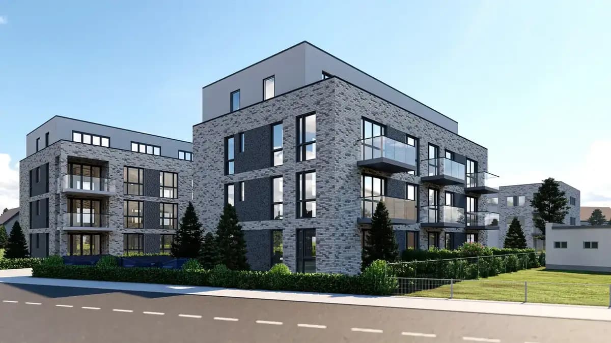
Investors immediately recognize the transport connections and the urban environment.
Project Development Vision
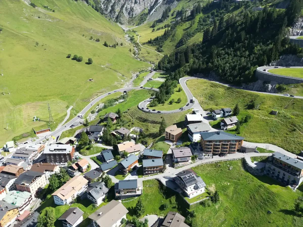
Visualization of the dimensions of large-scale properties, business parks, and logistics hubs.
High-End Positioning
Dynamic 4K drone flights signal premium quality and massively increase the asset's attractiveness.
Referenzprojekt Bochum: Reference Project Bochum: Fast Rental of Student Apartments Near the University
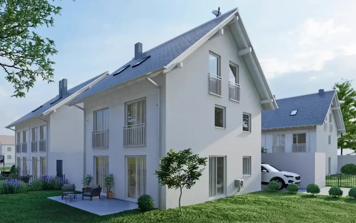
For a newly built apartment complex in the south of Bochum, FotoEstate created a series of dynamic wide-angle shots and interactive 3D tours. The appealing digital presentation allowed out-of-town students to view the fully furnished apartments online in a detailed and accurate way. All units were successfully fully rented within just two weeks before the start of the semester.
In vier Schritten zum Ergebnis in Bochum
Wir arbeiten hocheffizient und verlässlich. So läuft das Projekt für Sie ab:
Was Sie über Drone & Aerial Data Capture in Bochum wissen sollten
Unsere zertifizierten Piloten kennen die Genehmigungslage und fliegen Ihre Objekte in Bochum rechtssicher – für Fotos und Videos, die im Portal sofort auffallen. Unsere Termine führen uns quer durch Bochum, unter anderem nach Stiepel, Querenburg und Wattenscheid.
In areas such as the Stadtpark district, the Ehrenfeld creative quarter, and around the Ruhr University, a professional visual language ensures marketing success. Wir kommen für Aufnahmen nach Bochum; die Terminfindung dauert selten länger als ein paar Tage.
Viele Eigentümer in Bochum unterschätzen, wie früh die Entscheidung fällt: Die meisten Interessenten sortieren ein Objekt schon in der Ergebnisliste des Portals aus – lange bevor sie das Exposé öffnen.
Mission Planning
Checking airspace restrictions and strategic flight planning based on your marketing objectives.
Legal & Compliance
Legally secure obtaining of all official flight clearances and neighbor consents.
Data Capture
Safe execution of the aerial mission by our certified A1/A2/A3 pilots on site.
Post-Processing
Processing of raw data into high-resolution exposé images and dynamic teaser cinematics.
Häufige Fragen (FAQ)
What our partners say
"I use Fotoestate for my entire portfolio. The visual language perfectly matches modern room concepts."
"The combination of photography and floor plan creation is extremely helpful for our everyday real estate business."
"We were thrilled with how much time the photographer took to find the best angles of our garden."
"Since we got professional pictures from Fotoestate, the vacancy rate of our shared apartment rooms has dropped to zero."
"We used to take photos ourselves. Now we know: The difference with Fotoestate is like night and day."
"Very good drone videos, which we can ideally use for our social media campaigns."
"I use Fotoestate for my entire portfolio. The visual language perfectly matches modern room concepts."
"The combination of photography and floor plan creation is extremely helpful for our everyday real estate business."
"We were thrilled with how much time the photographer took to find the best angles of our garden."
"Since we got professional pictures from Fotoestate, the vacancy rate of our shared apartment rooms has dropped to zero."
"We used to take photos ourselves. Now we know: The difference with Fotoestate is like night and day."
"Very good drone videos, which we can ideally use for our social media campaigns."
We also work in these towns and municipalities around Bochum
On-site appointments for photography, drone shoots and 3D scans are available throughout the region – travel is usually included within this area.
Bereit für bessere Bilder in Bochum?
Lassen Sie sich unverbindlich beraten. Wir besprechen die beste Lösung für Ihre Immobilien und Objekte vor Ort in Bochum.