Hero Background
The perfect bird's-eye view

Real estate photography with drone

Buyers do not just acquire a building; they are above all buying a location. Classic ground-level photography quickly reaches its limits when it comes to conveying the size of a property, the proximity to nature, or the urban infrastructure. Our professional real estate photography with a drone provides the crucial macro perspective that makes the true value of your property visible.

Why the bird's-eye view is the strongest sales driver for real estate

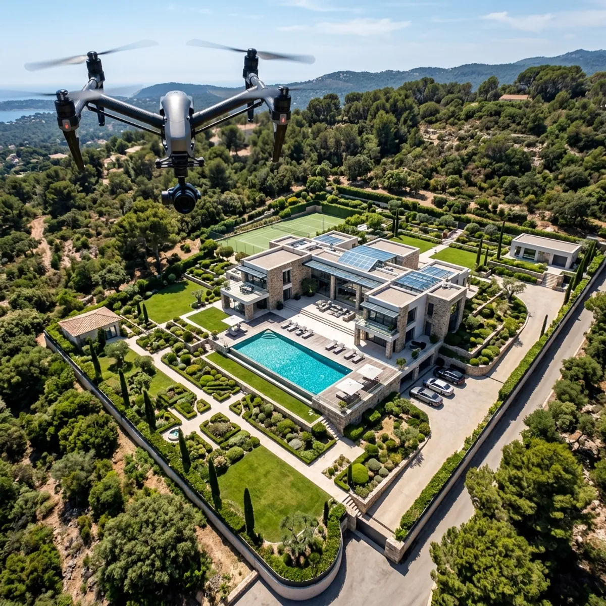
Every real estate professional knows the mantra of the industry: location, location, location. Yet paradoxically, it is precisely this location that is often communicated worst in traditional property listings. If you are marketing a fantastic single-family home on the edge of a forest, a commercial property with optimal highway access, or a large building plot, a photo from the street alone is not enough. The buyer sees the facade, but they do not see the forest, the highway, or the true extent of the garden. They have to piece together the macro location themselves using boring Google Maps screenshots or textual descriptions. This costs you real money because a lack of spatial imagination reduces willingness to pay. This is exactly where real estate photography using drones (UAV) unfolds its massive sales leverage.Spectacular top-down shot from the bird's-eye view of a drone showing a luxury property with a pool and large garden areasWith our state-of-the-art camera drones, we literally elevate your property above the competition. We do not just create simple aerial photos, but strategic visual marketing material. From 30 to 100 meters in height, we capture the entire property geometry. A so-called 'top-down shot' (photographed vertically from above) replaces any boring site plan and immediately shows the proportions between house area, terraces, and green spaces. Through wide-angle Aerial panoramic shots show us how the property is integrated into the neighborhood: How far is the nearest lake? Is the house really quietly located in a cul-de-sac? Exactly where is the access zone for the logistics hall? All of these purchase-decision questions are answered by a single, brilliant drone photo within milliseconds. Especially for developers and land planners, the drone is an indispensable tool: In post-production, we can draw exact property boundaries (parcels), planned building windows, or distance information (e.g., '5 min. to the train station') as highly professional 3D graphics directly into the aerial image (so-called Digital Plotting). This massively reduces the need for explanation in sales. A brochure that features a spectacular, opened with a sun-flooded drone image as a 'hero shot', immediately suggests exclusivity and premium quality to the buyer. It generates significantly more clicks on real estate portals, increases the emotional connection to the 'location', and justifies higher asking prices on a psychological level.
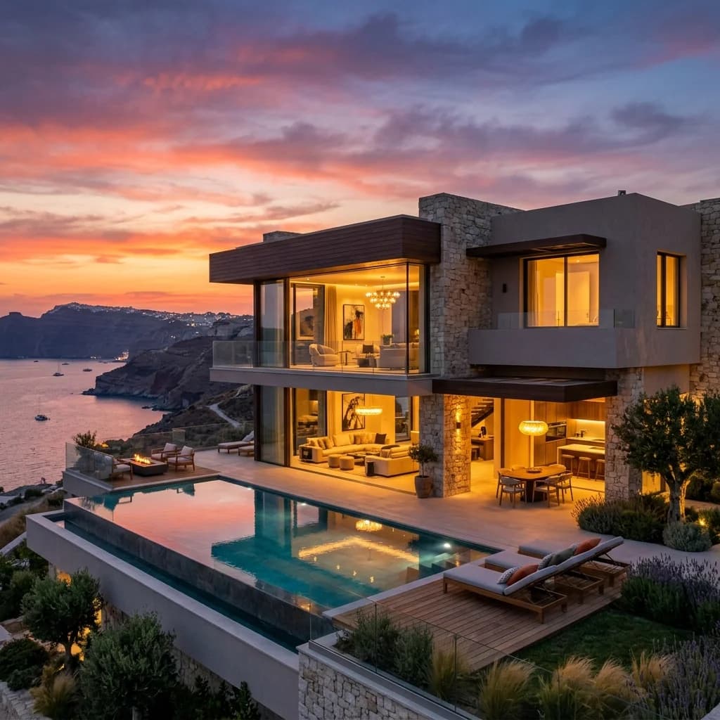
The perfect bird's-eye view – visualization example

Your benefits at a glance

Visualization of the macro location (infrastructure)

A property lives from its surroundings. Drone photos immediately show potential buyers the relevant location advantages: the proximity to parks, bodies of water, schools, or for commercial properties, the connection to highways and ports. You are not just selling bricks, but the entire location.

Understanding of property dimensions

Especially with large, intricate, or overgrown properties, it is impossible to capture the actual size from the ground. Vertical aerial shots (top-down) resemble a high-resolution, photorealistic site plan and immediately convey a sense of space and potential.

Integration of property boundaries (Plotting)

We don't just fly, we also enhance the images graphically. On request, we draw the exact property boundaries (parcels) semi-transparently and very elegantly directly into the drone photo. This is the perfect visual anchor for selling building plots or for clarifying boundary lines.

Maximum attention (eye-catcher guarantee)

On real estate portals, you have to compete against hundreds of other listings. A spectacular aerial photo as a cover image stands out massively from the mass of typical facade photos. It stops the user's scrolling and practically forces them to click on your brochure.

How it works

  1. Request

    You describe your property and goal – we confirm scope and price.

  2. Briefing

    We clarify style, material and deliverables with you.

  3. Production

    We create the visuals or capture on site.

  4. Delivery

    You receive the finished files ready for listing and marketing.

Everything you need to know about The perfect bird's-eye view

Frequently asked questions

Yes, absolutely. Commercial drone flights in Germany and Europe are strictly regulated (EU Drone Regulation). All our pilots have the mandatory EU remote pilot certificates (A1/A2/A3). We check the specific airspaces before each flight, obtain any necessary individual flight permits from authorities if applicable (e.g., in airport control zones or over federal waterways), and are of course commercially liability insured. You are not liable for anything.

Safety comes first. In heavy rain, snowfall, or wind speeds over 35 km/h, we cannot and must not launch our drones. Light cloud cover, however, is not a problem – on the contrary, it often provides soft, even lighting. If the weather changes completely on the day of the flight, we will of course quickly and easily coordinate a free alternative date with you.

No, they are the perfect complement, but not a replacement. The drone provides the spectacular overview, the layout, and the external volume of the property. For the emotional connection, the interior, the details in the rooms, and the exact materiality of the fittings (e.g., bathroom, kitchen), you still absolutely need our high-resolution architectural photography from the ground (with DSLR cameras and HDR technology). We conveniently offer both as a combo package.

This is an important data protection issue. In principle, the privacy of neighbors must not be violated (right to one's own image / GDPR). Our pilots are meticulous in choosing flight angles to avoid photographing protected neighboring gardens. If people or foreign license plates accidentally appear in the image, we of course make them unrecognizable during our post-production before you receive the final images.

Strategy Inquiry
FotoEstate

Ready for the perfect first impression?

Increase your sales prospects with professional property marketing.

Start your project