Drone & Aerial Data Capture
in Soest
Wir erstellen erstklassige drone & aerial data capture für Ihre Objekte in Soest. Gewinnen Sie Kunden, begeistern Sie Eigentümer und beschleunigen Sie den Vermarktungsprozess.
Drone & Aerial Data Capture in Soest und Umgebung
Soest's historic Altstadt, with its half-timbered houses and distinctive green sandstone, is one of the most atmospheric backdrops in Westphalia — and it places special demands on real estate photography. Gerade im Bereich der interaktiven Medien wie drone & aerial data capture sind Transparenz und Qualität entscheidend, um solvente Käufer im Großraum Soest zu überzeugen.
In the field of Commercial Real Estate (CRE), in logistics portfolios, and in large-scale project development (Development), the building itself is often only half the story. Investors, institutional buyers, and expansion managers of large corporations primarily evaluate the macro and micro location: How close is the nearest highway entrance? Is there direct access to rail freight? How is the asset integrated into surrounding business parks from an urban planning perspective? Traditional, ground-based architectural photography cannot capture these strategic dimensions. This is where FotoEstate comes in with professional, high-resolution drone images (Aerial Data Capture). We provide not only aesthetic aerial photos but also visual due diligence data that accelerate the sales process, create transaction security, and substantiate the value of your asset through maximum transparency.
Preise in Soest
Spectacular aerial images and 4K videos from a bird's-eye view of properties and locations.
Einsatzorte in Soest & Umland:
Weitere Leistungen in Soest:
Warum sich Drone & Aerial Data Capture rechnet
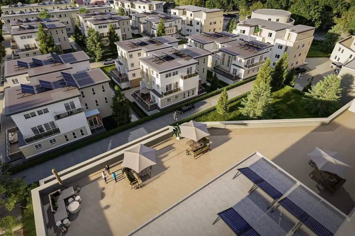
Location Due Diligence
Investors immediately recognize the transport connections and the urban environment.
Project Development Vision
Visualization of the dimensions of large-scale properties, business parks, and logistics hubs.
High-End Positioning
Dynamic 4K drone flights signal premium quality and massively increase the asset's attractiveness.
Referenzprojekt Soest: Featured Project Soest: Renovated Period Building in the Historic Town Center
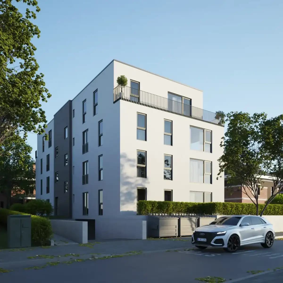
A high-quality renovated period building near Soest's Altstadt needed to be marketed discreetly yet effectively. Our solution: interior photography focused on the restored original details, dusk shots of the facade, and a 3D tour spanning three floors. The combination deliberately targeted buyers looking for historic substance — the notary appointment took place after just six weeks on the market.
So arbeiten wir in Soest
Wir arbeiten hocheffizient und verlässlich. So läuft das Projekt für Sie ab:
Warum Drone & Aerial Data Capture in Soest anders funktioniert
Aus der Luft wird sichtbar, was vom Bürgersteig aus niemand sieht: Grundstückszuschnitt, Nachbarbebauung und die Anbindung des Objekts innerhalb von Soest. Unsere Termine führen uns quer durch Soest, unter anderem nach Soest-Nord, Stadtmitte und Innenstadt.
Its historic townscape and location on the Haarstrang make Soest equally coveted by families and enthusiasts — characterful properties deserve imagery that emphasizes their substance. Wir kommen für Aufnahmen nach Soest; die Terminfindung dauert selten länger als ein paar Tage.
Ob sich der Aufwand für ein einzelnes Objekt lohnt, hängt weniger von der Größe ab als von der Konkurrenz: Je mehr vergleichbare Angebote in Soest gleichzeitig online sind, desto stärker entscheidet die Darstellung darüber, wer überhaupt angeklickt wird.
Mission Planning
Checking airspace restrictions and strategic flight planning based on your marketing objectives.
Legal & Compliance
Legally secure obtaining of all official flight clearances and neighbor consents.
Data Capture
Safe execution of the aerial mission by our certified A1/A2/A3 pilots on site.
Post-Processing
Processing of raw data into high-resolution exposé images and dynamic teaser cinematics.
Häufige Fragen (FAQ)
What our partners say
"Virtual office staging impressively shows the potential of our commercial spaces. It helps our clients envision their future offices."
"The precise area calculations give us and our clients the necessary security during transactions. Highest reliability."
"The virtual tours are intuitive to use and run smoothly. A great experience for our prospects."
"The cinematic tours are perfectly tailored to our target group. They arouse desires and increase demand."
"FotoEstate's image editing is absolutely natural and high-quality. No oversaturated colors, just honest, appealing pictures."
"LiDAR scans have become indispensable for us to seamlessly and digitally document the condition of our existing properties."
"Virtual office staging impressively shows the potential of our commercial spaces. It helps our clients envision their future offices."
"The precise area calculations give us and our clients the necessary security during transactions. Highest reliability."
"The virtual tours are intuitive to use and run smoothly. A great experience for our prospects."
"The cinematic tours are perfectly tailored to our target group. They arouse desires and increase demand."
"FotoEstate's image editing is absolutely natural and high-quality. No oversaturated colors, just honest, appealing pictures."
"LiDAR scans have become indispensable for us to seamlessly and digitally document the condition of our existing properties."
We also work in these towns and municipalities around Soest
On-site appointments for photography, drone shoots and 3D scans are available throughout the region – travel is usually included within this area.
Jetzt Termin in Soest sichern
Lassen Sie sich unverbindlich beraten. Wir besprechen die beste Lösung für Ihre Immobilien und Objekte vor Ort in Soest.