Drone & Aerial Data Capture
in Siegen
Wir erstellen erstklassige drone & aerial data capture für Ihre Objekte in Siegen. Gewinnen Sie Kunden, begeistern Sie Eigentümer und beschleunigen Sie den Vermarktungsprozess.
Drone & Aerial Data Capture in Siegen – Ihr Partner vor Ort
Hardly any city in North Rhine-Westphalia is as topographically challenging as Siegen: residential areas climb up the hillsides, and many properties boast views — which are simply lost in standard photos. Gerade im Bereich der interaktiven Medien wie drone & aerial data capture sind Transparenz und Qualität entscheidend, um solvente Käufer im Großraum Siegen zu überzeugen.
In the field of Commercial Real Estate (CRE), in logistics portfolios, and in large-scale project development (Development), the building itself is often only half the story. Investors, institutional buyers, and expansion managers of large corporations primarily evaluate the macro and micro location: How close is the nearest highway entrance? Is there direct access to rail freight? How is the asset integrated into surrounding business parks from an urban planning perspective? Traditional, ground-based architectural photography cannot capture these strategic dimensions. This is where FotoEstate comes in with professional, high-resolution drone images (Aerial Data Capture). We provide not only aesthetic aerial photos but also visual due diligence data that accelerate the sales process, create transaction security, and substantiate the value of your asset through maximum transparency.
Preise in Siegen
Spectacular aerial images and 4K videos from a bird's-eye view of properties and locations.
Einsatzorte in Siegen & Umland:
Weitere Leistungen in Siegen:
Was Drone & Aerial Data Capture für Ihr Objekt leistet
Location Due Diligence
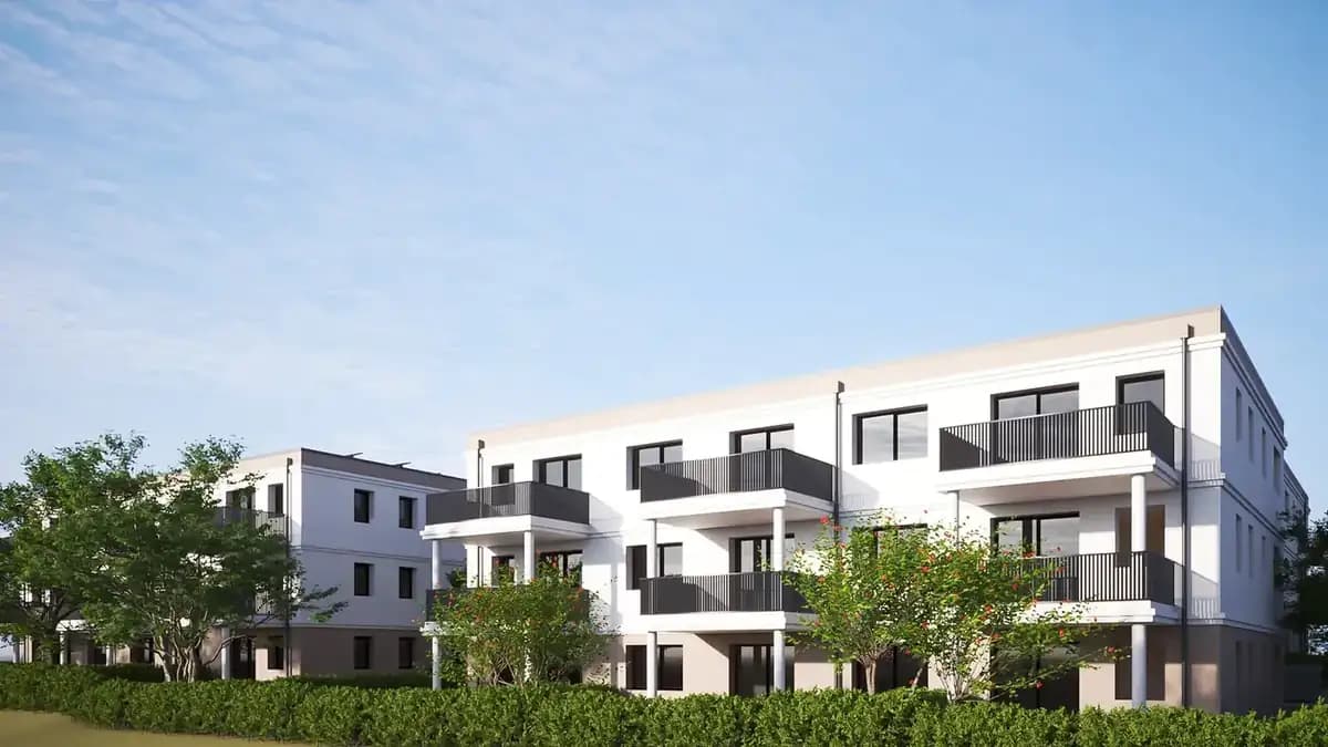
Investors immediately recognize the transport connections and the urban environment.
Project Development Vision
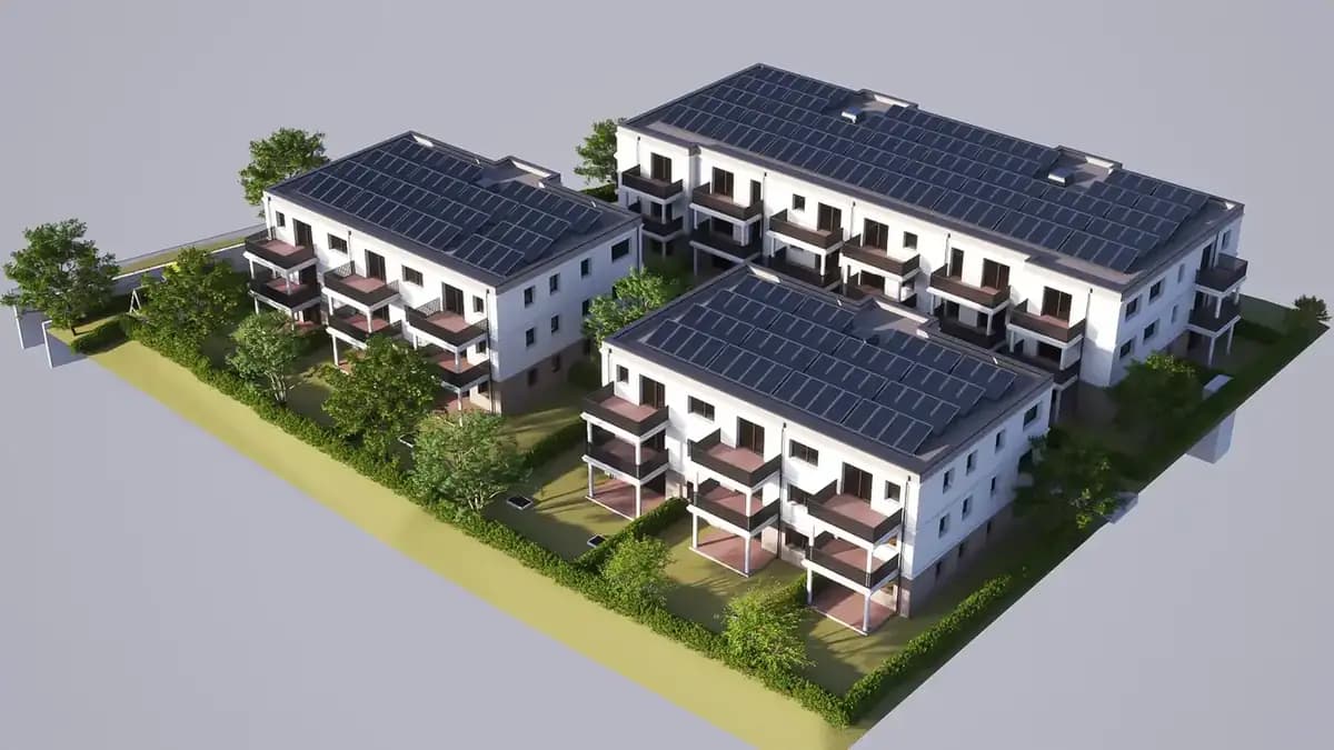
Visualization of the dimensions of large-scale properties, business parks, and logistics hubs.
High-End Positioning
Dynamic 4K drone flights signal premium quality and massively increase the asset's attractiveness.
Referenzprojekt Siegen: Reference Project Siegen: Architect-Designed Hillside House with Panoramic Views
A modern architect-designed house in an exposed hillside location was to be marketed nationally. We showcased the split-level concept with a seamless Matterport tour, photographed the panoramic glazing at blue hour, and documented the valley view by drone. The listing attracted prospects from as far as the Rhine-Main region; the sale closed after just three on-site viewings, well above the regional benchmark.
In vier Schritten zum Ergebnis in Siegen
Wir arbeiten hocheffizient und verlässlich. So läuft das Projekt für Sie ab:
Drone & Aerial Data Capture für den Markt in Siegen
Unsere zertifizierten Piloten kennen die Genehmigungslage und fliegen Ihre Objekte in Siegen rechtssicher – für Fotos und Videos, die im Portal sofort auffallen. Ob Gewerbepark, Siegen-Süd und Siegen-Nord – wir kennen die Lagen in Siegen und wissen, worauf es bei der Vermarktung dort ankommt.
In Siegen's hillside locations, views and plot layout are key purchase criteria — drone perspectives make precisely these value drivers visible and set your listing apart from the competition. Wir kommen für Aufnahmen nach Siegen; die Terminfindung dauert selten länger als ein paar Tage.
Der häufigste Fehler bei Objekten in Siegen ist, an dieser Stelle zu sparen und dafür später den Angebotspreis zu senken. Die Preisreduktion kostet in der Regel ein Vielfaches dessen, was die Aufbereitung gekostet hätte.
Mission Planning
Checking airspace restrictions and strategic flight planning based on your marketing objectives.
Legal & Compliance
Legally secure obtaining of all official flight clearances and neighbor consents.
Data Capture
Safe execution of the aerial mission by our certified A1/A2/A3 pilots on site.
Post-Processing
Processing of raw data into high-resolution exposé images and dynamic teaser cinematics.
Häufige Fragen (FAQ)
What our partners say
"Very good drone videos, which we can ideally use for our social media campaigns."
"Fotoestate's service elevates our exposé marketing to a whole new level. Absolutely recommended."
"Thanks to FotoEstate's virtual renderings, we were able to market 80% of the new construction project before construction even began. Absolute recommendation for every developer!"
"We regularly use virtual home staging for empty existing properties. The quality is breathtaking and the ROI pays off after a few days."
"Fast, professional and visually at the highest level. The exposés now look like premium magazines. This enormously increases buyer confidence."
"FotoEstate's 2D and 3D floor plans are an absolute game changer for our online presence."
"Very good drone videos, which we can ideally use for our social media campaigns."
"Fotoestate's service elevates our exposé marketing to a whole new level. Absolutely recommended."
"Thanks to FotoEstate's virtual renderings, we were able to market 80% of the new construction project before construction even began. Absolute recommendation for every developer!"
"We regularly use virtual home staging for empty existing properties. The quality is breathtaking and the ROI pays off after a few days."
"Fast, professional and visually at the highest level. The exposés now look like premium magazines. This enormously increases buyer confidence."
"FotoEstate's 2D and 3D floor plans are an absolute game changer for our online presence."
We also work in these towns and municipalities around Siegen
On-site appointments for photography, drone shoots and 3D scans are available throughout the region – travel is usually included within this area.
Bereit für bessere Bilder in Siegen?
Lassen Sie sich unverbindlich beraten. Wir besprechen die beste Lösung für Ihre Immobilien und Objekte vor Ort in Siegen.