Drone & Aerial Data Capture
in Langenhagen
Wir erstellen erstklassige drone & aerial data capture für Ihre Objekte in Langenhagen. Gewinnen Sie Kunden, begeistern Sie Eigentümer und beschleunigen Sie den Vermarktungsprozess.
Drone & Aerial Data Capture in Langenhagen und Umgebung
Langenhagen is one of the most sought-after residential and business locations in the Hannover region: the airport, major employers and the fast connection to the state capital ensure constant demand. Gerade im Bereich der interaktiven Medien wie drone & aerial data capture sind Transparenz und Qualität entscheidend, um solvente Käufer im Großraum Langenhagen zu überzeugen.
In the field of Commercial Real Estate (CRE), in logistics portfolios, and in large-scale project development (Development), the building itself is often only half the story. Investors, institutional buyers, and expansion managers of large corporations primarily evaluate the macro and micro location: How close is the nearest highway entrance? Is there direct access to rail freight? How is the asset integrated into surrounding business parks from an urban planning perspective? Traditional, ground-based architectural photography cannot capture these strategic dimensions. This is where FotoEstate comes in with professional, high-resolution drone images (Aerial Data Capture). We provide not only aesthetic aerial photos but also visual due diligence data that accelerate the sales process, create transaction security, and substantiate the value of your asset through maximum transparency.
Preise in Langenhagen
Spectacular aerial images and 4K videos from a bird's-eye view of properties and locations.
Einsatzorte in Langenhagen & Umland:
Weitere Leistungen in Langenhagen:
Warum sich Drone & Aerial Data Capture rechnet
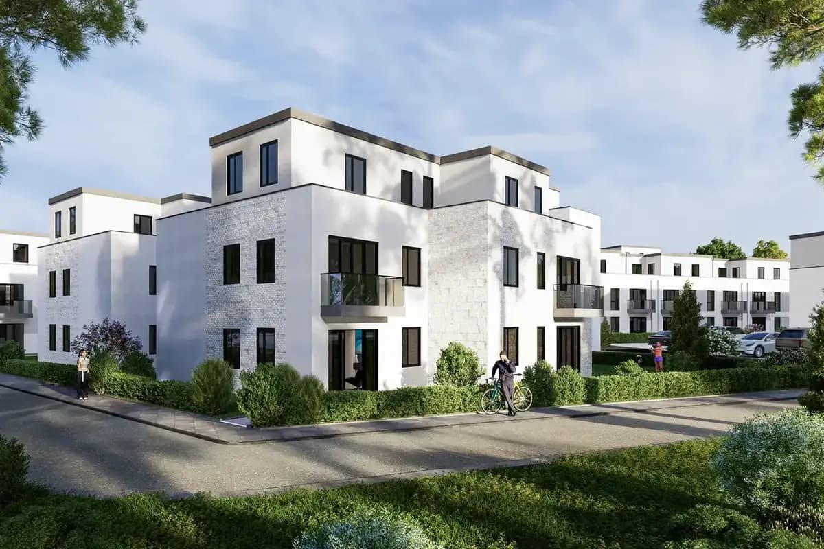
Location Due Diligence
Investors immediately recognize the transport connections and the urban environment.
Project Development Vision
Visualization of the dimensions of large-scale properties, business parks, and logistics hubs.
High-End Positioning
Dynamic 4K drone flights signal premium quality and massively increase the asset's attractiveness.
Referenzprojekt Langenhagen: Case Study Langenhagen: New-Build Terraced Houses for Commuter Families
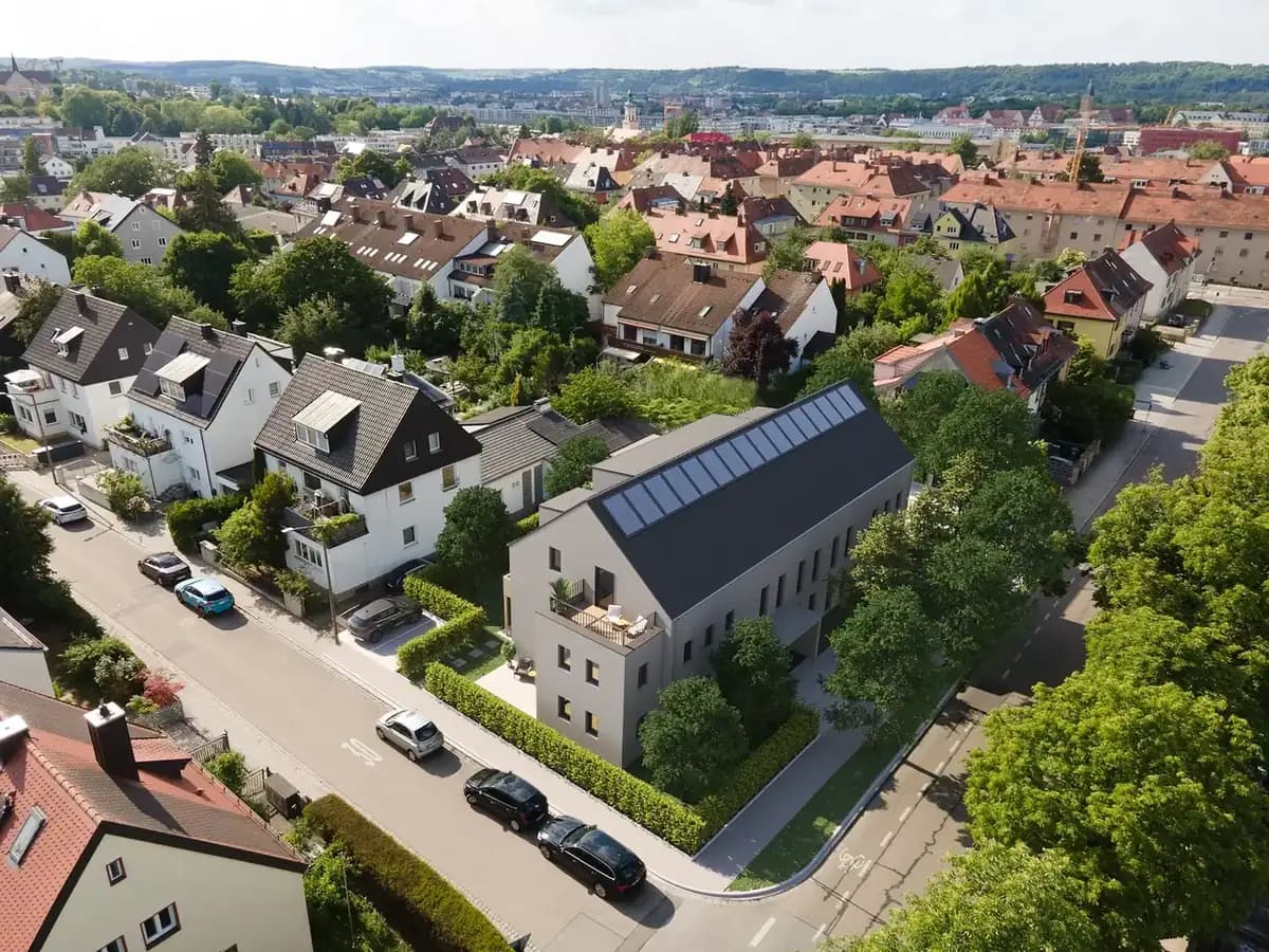
For a developer, we supported the marketing of a newly built row of terraced houses in Langenhagen. Before completion, we visualised the units with virtual home staging, complemented by drone footage of construction progress and the surroundings with views towards Hannover. More than half of the houses were reserved before final building acceptance – carried by a listing that conveyed a feeling of home instead of a building shell.
In vier Schritten zum Ergebnis in Langenhagen
Wir arbeiten hocheffizient und verlässlich. So läuft das Projekt für Sie ab:
Warum Drone & Aerial Data Capture in Langenhagen anders funktioniert
Unsere zertifizierten Piloten kennen die Genehmigungslage und fliegen Ihre Objekte in Langenhagen rechtssicher – für Fotos und Videos, die im Portal sofort auffallen. Ob Langenhagen-Süd, Langenhagen-Nord und Altstadt – wir kennen die Lagen in Langenhagen und wissen, worauf es bei der Vermarktung dort ankommt.
The airport, proximity to the trade fair and the direct connection to Hannover make Langenhagen attractive to commuters and investors alike; professional visualisations accelerate the marketing of apartments and commercial spaces in equal measure. Vor-Ort-Termine in Langenhagen lassen sich in der Regel innerhalb weniger Tage einrichten.
Ob sich der Aufwand für ein einzelnes Objekt lohnt, hängt weniger von der Größe ab als von der Konkurrenz: Je mehr vergleichbare Angebote in Langenhagen gleichzeitig online sind, desto stärker entscheidet die Darstellung darüber, wer überhaupt angeklickt wird.
Mission Planning
Checking airspace restrictions and strategic flight planning based on your marketing objectives.
Legal & Compliance
Legally secure obtaining of all official flight clearances and neighbor consents.
Data Capture
Safe execution of the aerial mission by our certified A1/A2/A3 pilots on site.
Post-Processing
Processing of raw data into high-resolution exposé images and dynamic teaser cinematics.
Häufige Fragen (FAQ)
What our partners say
"Super friendly photographers who know exactly what matters in a real estate shoot."
"The pictures of our new warehouses turned out great. Clear recommendation for commercial real estate."
"We work exclusively with Fotoestate. The lighting is perfect every single time."
"Our click rates on portals have noticeably increased since we started working with Fotoestate."
"Thanks for the great photos! We had three viewings immediately on the first weekend."
"A picture is worth a thousand words. Fotoestate's photos practically sell our properties by themselves."
"Super friendly photographers who know exactly what matters in a real estate shoot."
"The pictures of our new warehouses turned out great. Clear recommendation for commercial real estate."
"We work exclusively with Fotoestate. The lighting is perfect every single time."
"Our click rates on portals have noticeably increased since we started working with Fotoestate."
"Thanks for the great photos! We had three viewings immediately on the first weekend."
"A picture is worth a thousand words. Fotoestate's photos practically sell our properties by themselves."
We also work in these towns and municipalities around Langenhagen
On-site appointments for photography, drone shoots and 3D scans are available throughout the region – travel is usually included within this area.
Bereit für bessere Bilder in Langenhagen?
Lassen Sie sich unverbindlich beraten. Wir besprechen die beste Lösung für Ihre Immobilien und Objekte vor Ort in Langenhagen.