Drone & Aerial Data Capture
in Henstedt-Ulzburg
Wir erstellen erstklassige drone & aerial data capture für Ihre Objekte in Henstedt-Ulzburg. Gewinnen Sie Kunden, begeistern Sie Eigentümer und beschleunigen Sie den Vermarktungsprozess.
Professionelle Drone & Aerial Data Capture für Objekte in Henstedt-Ulzburg
Henstedt-Ulzburg is one of the most populous municipalities in Schleswig-Holstein and has been growing for years — driven by the AKN rail link to Hamburg and a broad range of single-family homes, semi-detached houses, and new-build apartments. Gerade im Bereich der interaktiven Medien wie drone & aerial data capture sind Transparenz und Qualität entscheidend, um solvente Käufer im Großraum Henstedt-Ulzburg zu überzeugen.
In the field of Commercial Real Estate (CRE), in logistics portfolios, and in large-scale project development (Development), the building itself is often only half the story. Investors, institutional buyers, and expansion managers of large corporations primarily evaluate the macro and micro location: How close is the nearest highway entrance? Is there direct access to rail freight? How is the asset integrated into surrounding business parks from an urban planning perspective? Traditional, ground-based architectural photography cannot capture these strategic dimensions. This is where FotoEstate comes in with professional, high-resolution drone images (Aerial Data Capture). We provide not only aesthetic aerial photos but also visual due diligence data that accelerate the sales process, create transaction security, and substantiate the value of your asset through maximum transparency.
Preise in Henstedt-Ulzburg
Spectacular aerial images and 4K videos from a bird's-eye view of properties and locations.
Einsatzorte in Henstedt-Ulzburg & Umland:
Weitere Leistungen in Henstedt-Ulzburg:
Drone & Aerial Data Capture: die Vorteile im Überblick
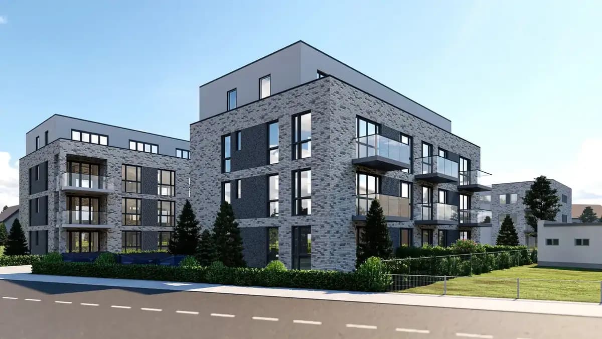
Location Due Diligence
Investors immediately recognize the transport connections and the urban environment.
Project Development Vision
Visualization of the dimensions of large-scale properties, business parks, and logistics hubs.
High-End Positioning
Dynamic 4K drone flights signal premium quality and massively increase the asset's attractiveness.
Referenzprojekt Henstedt-Ulzburg: Featured Project Henstedt-Ulzburg: Semi-Detached House with Converted Attic
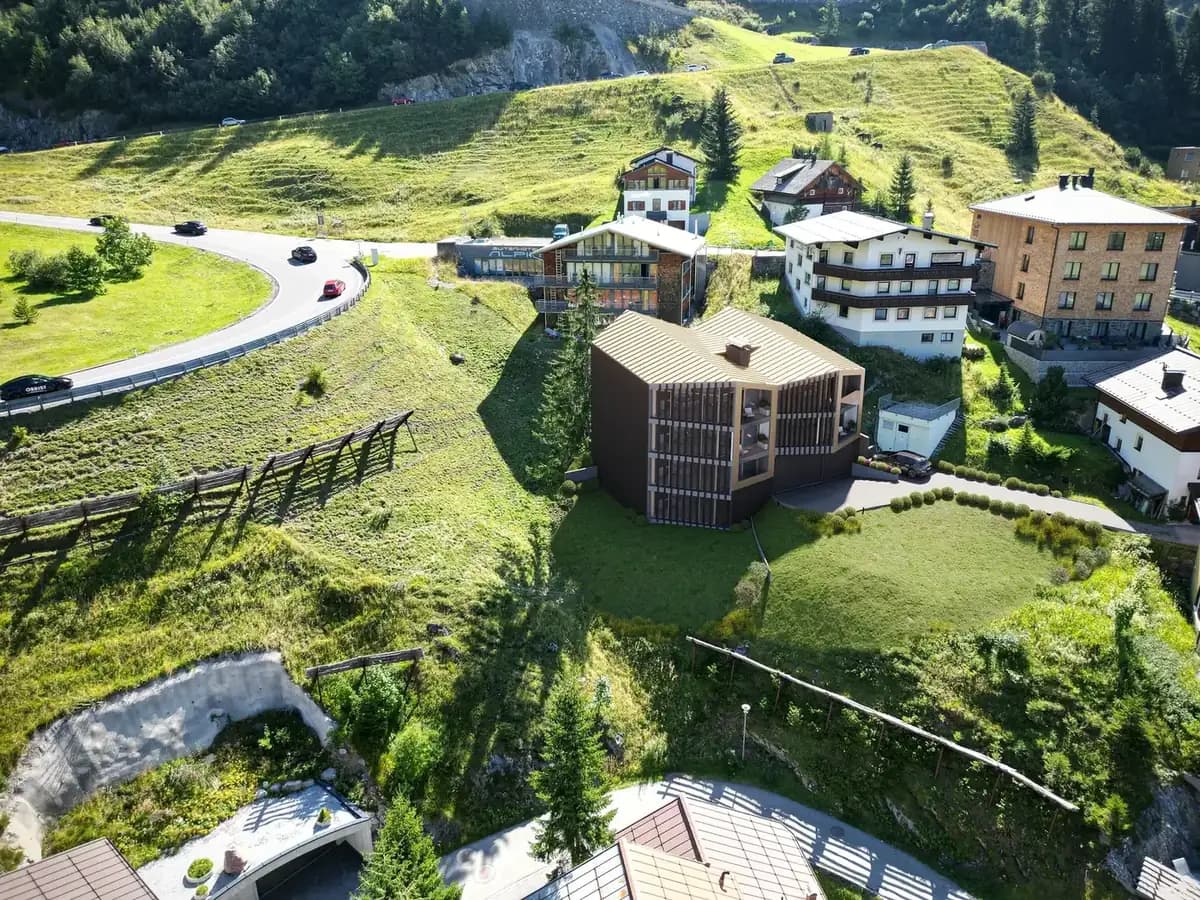
A 1990s semi-detached house with a freshly converted attic competed against several similar listings in town. Our package of light-optimized interior photography, virtual staging of the attic studio, and a 3D tour visibly set the property apart: it recorded the most portal inquiries in the comparison period and sold ahead of all competing properties.
Ablauf vor Ort in Henstedt-Ulzburg
Wir arbeiten hocheffizient und verlässlich. So läuft das Projekt für Sie ab:
Drone & Aerial Data Capture in Henstedt-Ulzburg: was vor Ort zählt
Unsere zertifizierten Piloten kennen die Genehmigungslage und fliegen Ihre Objekte in Henstedt-Ulzburg rechtssicher – für Fotos und Videos, die im Portal sofort auffallen. Unsere Termine führen uns quer durch Henstedt-Ulzburg, unter anderem nach Henstedt-Ulzburg-Ost, Henstedt-Ulzburg-West und Henstedt-Ulzburg-Nord.
As a fast-growing large municipality with AKN rail access to Hamburg, Henstedt-Ulzburg offers many comparable properties — the visually strongest listing wins the inquiries here. Vor-Ort-Termine in Henstedt-Ulzburg lassen sich in der Regel innerhalb weniger Tage einrichten.
Häufig gestellte Frage aus Henstedt-Ulzburg: Lohnt sich das auch bei einem Objekt, das ohnehin schnell weggeht? Meist ja – nicht wegen der Verkaufsdauer, sondern wegen des Preises, den Sie am Ende durchsetzen können.
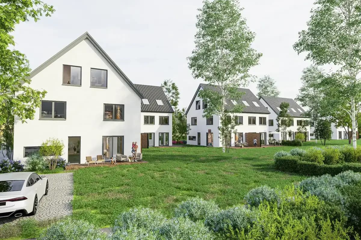
Mission Planning
Checking airspace restrictions and strategic flight planning based on your marketing objectives.
Legal & Compliance
Legally secure obtaining of all official flight clearances and neighbor consents.
Data Capture
Safe execution of the aerial mission by our certified A1/A2/A3 pilots on site.
Post-Processing
Processing of raw data into high-resolution exposé images and dynamic teaser cinematics.
Häufige Fragen (FAQ)
What our partners say
"Our gastronomy properties are presented incredibly appealingly and atmospherically by Fotoestate."
"I have been using the pictures for years with every tenant change. They still look modern and top-notch."
"High reliability! The promised delivery times for edited photos have always been beaten so far."
"Thanks to the professional photos, we were able to achieve a significantly higher selling price. A complete success!"
"The collaboration is highly professional. The team thinks ahead and delivers exactly the motifs we need."
"Even dark basement apartments look friendly and bright in Fotoestate's photos."
"Our gastronomy properties are presented incredibly appealingly and atmospherically by Fotoestate."
"I have been using the pictures for years with every tenant change. They still look modern and top-notch."
"High reliability! The promised delivery times for edited photos have always been beaten so far."
"Thanks to the professional photos, we were able to achieve a significantly higher selling price. A complete success!"
"The collaboration is highly professional. The team thinks ahead and delivers exactly the motifs we need."
"Even dark basement apartments look friendly and bright in Fotoestate's photos."
We also work in these towns and municipalities around Henstedt-Ulzburg
On-site appointments for photography, drone shoots and 3D scans are available throughout the region – travel is usually included within this area.
Angebot für Ihr Objekt in Henstedt-Ulzburg
Lassen Sie sich unverbindlich beraten. Wir besprechen die beste Lösung für Ihre Immobilien und Objekte vor Ort in Henstedt-Ulzburg.