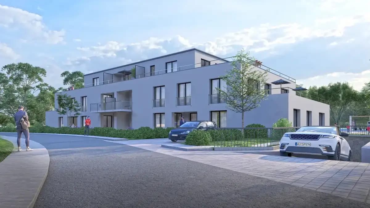
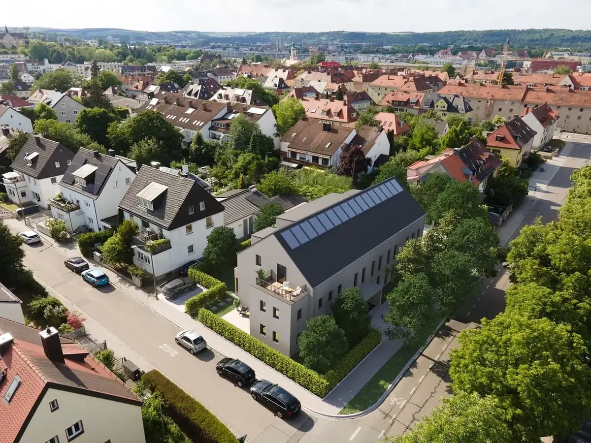
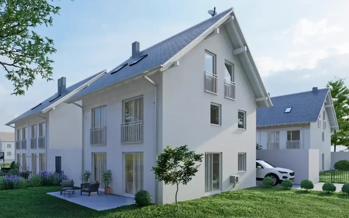
Wir erstellen erstklassige drone & aerial data capture für Ihre Objekte in Erfurt. Gewinnen Sie Kunden, begeistern Sie Eigentümer und beschleunigen Sie den Vermarktungsprozess.
Drone & Aerial Data Capture in Erfurt: von Profis umgesetzt
Erfurt fascinates with its excellently preserved medieval city center, the Krämerbrücke, and a high quality of life. Gerade im Bereich der interaktiven Medien wie drone & aerial data capture sind Transparenz und Qualität entscheidend, um solvente Käufer im Großraum Erfurt zu überzeugen.
In the field of Commercial Real Estate (CRE), in logistics portfolios, and in large-scale project development (Development), the building itself is often only half the story. Investors, institutional buyers, and expansion managers of large corporations primarily evaluate the macro and micro location: How close is the nearest highway entrance? Is there direct access to rail freight? How is the asset integrated into surrounding business parks from an urban planning perspective? Traditional, ground-based architectural photography cannot capture these strategic dimensions. This is where FotoEstate comes in with professional, high-resolution drone images (Aerial Data Capture). We provide not only aesthetic aerial photos but also visual due diligence data that accelerate the sales process, create transaction security, and substantiate the value of your asset through maximum transparency.
Preise in Erfurt
ab 199 €/ pro Flight (zzgl. MwSt.)
Spectacular aerial images and 4K videos from a bird's-eye view of properties and locations.
Einsatzorte in Erfurt & Umland:
Brühlervorstadt
Andreasvorstadt
Daberstedt
Krämpfervorstadt
Johannesvorstadt
Melchendorf
*Wir betreuen Makler, Bauträger und Unternehmen im gesamten Einzugsgebiet von Erfurt. Alle Fahrten werden flexibel koordiniert.
Ihre Vorteile
Dafür setzen Makler in Erfurt auf Drone & Aerial Data Capture
Location Due Diligence
Investors immediately recognize the transport connections and the urban environment.
Project Development Vision
Visualization of the dimensions of large-scale properties, business parks, and logistics hubs.
High-End Positioning
Dynamic 4K drone flights signal premium quality and massively increase the asset's attractiveness.
Lokales Referenzprojekt
Referenzprojekt Erfurt: Reference project Erfurt: Marketing a renovated old apartment near the Krämerbrücke
For a newly renovated apartment in Erfurt's old town, we focused on detailed photography of the historical building fabric and an interactive 3D tour. The combination of historical charm and modern renovation details was perfectly documented. The apartment could be rented to an owner-occupier within a very short time.
In vier Schritten zum Ergebnis in Erfurt
Wir arbeiten hocheffizient und verlässlich. So läuft das Projekt für Sie ab:
Was Sie über Drone & Aerial Data Capture in Erfurt wissen sollten
Aus der Luft wird sichtbar, was vom Bürgersteig aus niemand sieht: Grundstückszuschnitt, Nachbarbebauung und die Anbindung des Objekts innerhalb von Erfurt. Ob Krämpfervorstadt, Johannesvorstadt und Melchendorf – wir kennen die Lagen in Erfurt und wissen, worauf es bei der Vermarktung dort ankommt.
Especially in the historic old town as well as in the popular poet's quarter, first-class imagery ensures a tangible premium branding of your offerings. Für Termine in Erfurt und im Umland planen wir kurzfristig – meist innerhalb einer Woche.
Ob sich der Aufwand für ein einzelnes Objekt lohnt, hängt weniger von der Größe ab als von der Konkurrenz: Je mehr vergleichbare Angebote in Erfurt gleichzeitig online sind, desto stärker entscheidet die Darstellung darüber, wer überhaupt angeklickt wird.
1
Mission Planning
Checking airspace restrictions and strategic flight planning based on your marketing objectives.
2
Legal & Compliance
Legally secure obtaining of all official flight clearances and neighbor consents.
3
Data Capture
Safe execution of the aerial mission by our certified A1/A2/A3 pilots on site.
4
Post-Processing
Processing of raw data into high-resolution exposé images and dynamic teaser cinematics.
Fragen
Häufige Fragen (FAQ)
References
What our partners say
"The digital measurement via LiDAR saved us a lot of time and money on our last portfolio transaction."
Alexander B.Asset Manager
"The cinematic tours convey exactly the exclusivity we need for our premium properties."
Julia V.Investment Manager
"FotoEstate delivers quickly, reliably, and in consistently high quality. A real partner for our marketing."
Daniel K.Property Developer
"Our designs are perfectly showcased by FotoEstate's renderings. This helps enormously in discussions with builders."
Marina W.Architect
"The virtual 360-degree tours have become our most important tool for the first contact with potential buyers."
Paul S.Head of Real Estate Sales
"Thanks to the precise area calculations, we finally have absolute legal certainty for our lease agreements."
Elena R.Property Manager
"The digital measurement via LiDAR saved us a lot of time and money on our last portfolio transaction."
Alexander B.Asset Manager
"The cinematic tours convey exactly the exclusivity we need for our premium properties."
Julia V.Investment Manager
"FotoEstate delivers quickly, reliably, and in consistently high quality. A real partner for our marketing."
Daniel K.Property Developer
"Our designs are perfectly showcased by FotoEstate's renderings. This helps enormously in discussions with builders."
Marina W.Architect
"The virtual 360-degree tours have become our most important tool for the first contact with potential buyers."
Paul S.Head of Real Estate Sales
"Thanks to the precise area calculations, we finally have absolute legal certainty for our lease agreements."
Elena R.Property Manager
We also work in these towns and municipalities around Erfurt
On-site appointments for photography, drone shoots and 3D scans are available throughout the region – travel is usually included within this area.