
Central Single Source of Truth
Eliminate information asymmetries. Asset managers, facility management, and investors can access an identical, millimeter-accurate 3D representation of reality at any time, which minimizes coordination errors.
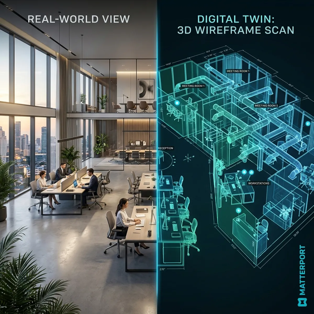 of a luxurious commercial property with a detailed LiDAR point cloud for institutional project developers and investors" style="width:100%; border-radius: 12px; margin: 2rem 0; box-shadow: 0 10px 30px rgba(0,0,0,0.1);" />In addition, our professional Matterport solution opens up entirely new dimensions in pre-selling and due diligence. In large commercial projects, the mere imagination of potential buyers is often the limiting factor. An immersive 3D tour completely eliminates this uncertainty. Through the unique 'Dollhouse' view, interested parties gain an intuitive, instant understanding of spatial relationships that flat, two-dimensional floor plans can never convey. In due diligence, appraisers can conduct virtual inspections carry out, take measurements directly in the model, and use so-called 'Mattertags' to locate important documents, technical specifications, or maintenance histories directly at the corresponding installations in the space. This data-centered approach drastically reduces time-consuming on-site inspections and minimizes disruption to ongoing operations or existing tenants. In an era in which ESG criteria increasingly determine the value and long-term financability of projects, the twin delivers precise data for energy demand analyses and sustainability certifications. Developers scan the construction progress at regular intervals in 3D for an unalterable documentation and solid evidence protection against general contractors. We accompany you as experienced partner from detailed planning through discreet execution to secure integration into your proprietary data spaces. This transforms a simple, static property into an absolutely transparent, digital asset that immediately convinces investors worldwide.
Eliminate information asymmetries. Asset managers, facility management, and investors can access an identical, millimeter-accurate 3D representation of reality at any time, which minimizes coordination errors.
Spare international investor committees time-consuming travel. Experts can tour the property virtually, take measurements, and directly mark and record defects in the digital twin.
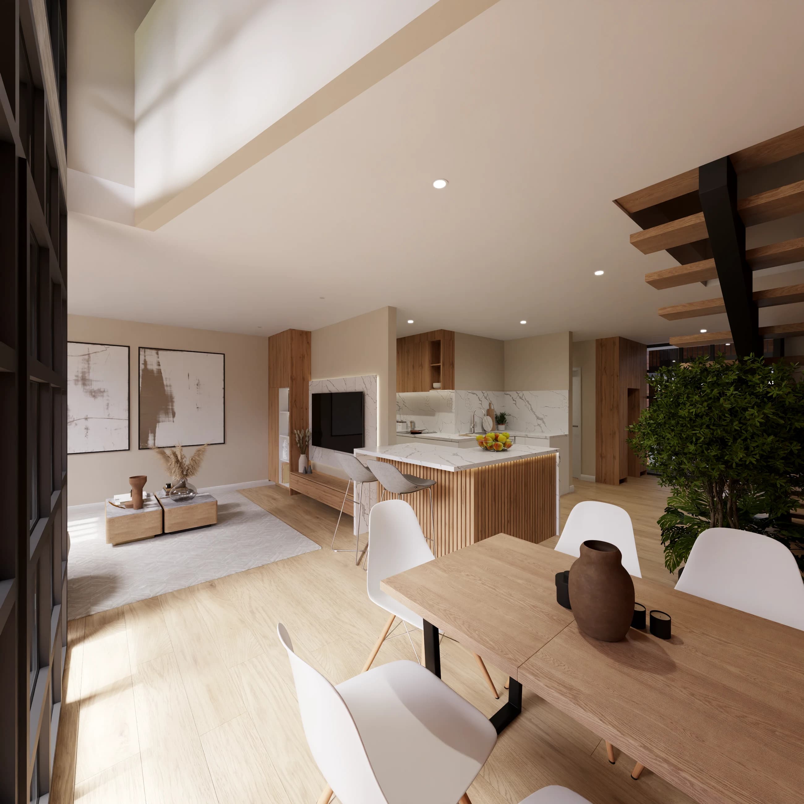
Use the immersive dollhouse view to intuitively make space concepts tangible. Prospective buyers become emotionally attached to the property even before physical sample areas exist.
You describe your property and goal – we confirm scope and price.
We clarify style, material and deliverables with you.
We create the visuals or capture on site.
You receive the finished files ready for listing and marketing.
Our high-end cameras use next-generation infrared and LiDAR technology. This allows us to achieve a measurement accuracy that is industry-leading and typically has a deviation of less than 1%. This makes the scan extremely reliable for planners and craftsmen.
Yes, absolutely. The scan generates a dense point cloud (.xyz or .e57 format) in the background, which can be seamlessly imported into Autodesk Revit, AutoCAD, or ArchiCAD. Based on this, we can derive exact 2D floor plans or complete BIM models (Level of Detail 200-400).
Security and discretion have the highest priority for institutional portfolios. Virtual tours can be password-protected, regulated via NDA access, or hosted on internal company server infrastructures, so that sensitive floor plans never reach the public.

Increase your sales prospects with professional property marketing.