The most important trends in residential & usable space calculation in 2026
Which new technologies and developments in residential & usable area calculation are now changing the market.
For real estate agents, asset managers, and property management companies, the living and usable space is by far the most important currency. Every square meter determines the purchase price, rental income, ancillary cost statements, and in 2026 increasingly also the ESG compliance (sustainability reporting) of the portfolio.
But the reality in many building files is alarming: According to estimates, the actual areas deviate from the historical paper plans in over 60% of existing properties. Anyone who in 2026 still roughly calculates areas using a laser distance meter and a calculator is taking on a massive liability risk. In this B2B pillar article, we examine the technological and legal trends that are revolutionizing area calculation.
1. The Departure from Historical Layouts (Liability Risk)
A classic mistake in real estate sales: The agent takes over the hand-drawn floor plan from 1982 without checking. The property is sold as "120 square meters of living space."
The problem in 2026: The case law has become stricter. If the buyer measures afterward and determines that it is only 111 square meters (due to incorrectly calculated roof slopes or balcony shares), massive cancellations, claims for damages, and the loss of the broker's commission are threatened. Even with rentals (keyword: rental price brake), an exact calculation of the net cold rent per square meter is legally binding.
The Trend:
Brokers and managers no longer rely on old files. The digital re-measurement upon taking over a mandate is the new gold standard for absolute disclaimer of liability.
2. Scan-to-Plan: LiDAR-Supported Measurements
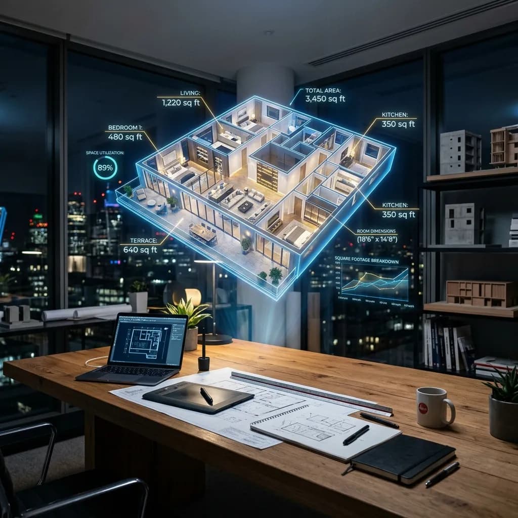
Manual measurement with a folding rule is a thing of the past (which is also clearly reflected in the general trends in 3D surveying and laser scanning). Area calculation in 2026 is based entirely on LiDAR (Light Detection and Ranging).
With systems like the Matterport Pro3 camera (used by FotoEstate for all inventory recordings), the property is scanned in 3D. The laser captures millions of measurement points and creates a millimeter-accurate digital twin (point cloud).
From this unaltered 3D dataset, we extract the exact 2D floor plan using software. Curved walls, hidden niches, or complex bay structures are no longer rounded or estimated but recorded geometrically accurately. Human transcription errors (number swaps on the clipboard) are thus technically excluded.
3. Automated Separation According to WoFlV and DIN 277
The calculation of areas in Germany is highly complex. Apartments must be calculated according to the Living Space Ordinance (WoFlV) (deduction of plaster layers, special regulations for balconies, terraces, and staircases). Commercial properties, on the other hand, are subject to DIN 277 (gross volume, usable areas).
The AI Trend:
In 2026, AI-powered software engines will take over the differentiation. The software analyzes the 3D model and automatically recognizes where a roof slope falls below the 1-meter or 2-meter limit. The square meters under the 1-meter line are automatically set to 0% according to WoFlV, and the areas between 1 and 2 meters are set to 50%.
The result is a legally secure, certified document that withstands any notarial purchase agreement.
4. Space Optimization as an ROI Booster (The Hidden Profit)
Many owners see a new survey only as a cost factor. In fact, in practice, it is usually a massive earnings lever (ROI).
Historical floor plans often never officially included attics or newly added conservatories in the living space. Terraces were also often not counted at all or only at 25%, although according to current case law, up to 50% is possible in certain locations.
If a new, digital LiDAR survey shows that a single-family house does not have 150, but actually 156 square meters of WoFlV area, this means an immediate increase in value of 30,000 euros when selling, with a square meter price of 5,000 euros. The investment in the new survey pays off in seconds.
5. ESG Reporting: Areas as the Basis of Sustainability
For commercial asset managers and fund companies, there will be a dominant topic in 2026: ESG (Environmental, Social, Governance). The EU taxonomy requires strict evidence of CO2 emissions and energy consumption of buildings.
The key figure for this reporting is the energy consumption per square meter. If the underlying usable area (according to DIN 277) is incorrectly recorded in the asset manager's ERP system, the entire sustainability reporting is inaccurate. Inaccurate area information leads to poor energy certificates, which in turn results in discounts (brown discount) in property valuation.
Precise, 3D-scanned surfaces are therefore the indisputable foundation for a legally secure ESG rating.
Conclusion: Say Goodbye to Guessing
In 2026, precise area measurement is not a 'nice-to-have,' but the legal and economic basis of every real estate transaction.
As a real estate professional, you should ask yourself: Are my marketing data based on facts or on historical assumptions? FotoEstate closes this security gap. We scan your existing properties with state-of-the-art LiDAR technology and provide you with legally compliant area calculations and floor plans standardized according to WoFlV or DIN 277. Protect your commission, minimize your liability risk, and maximize your clients' yield.
Related articles
Explore Area calculation
See what the service includes, which source material is useful and how a typical project starts.