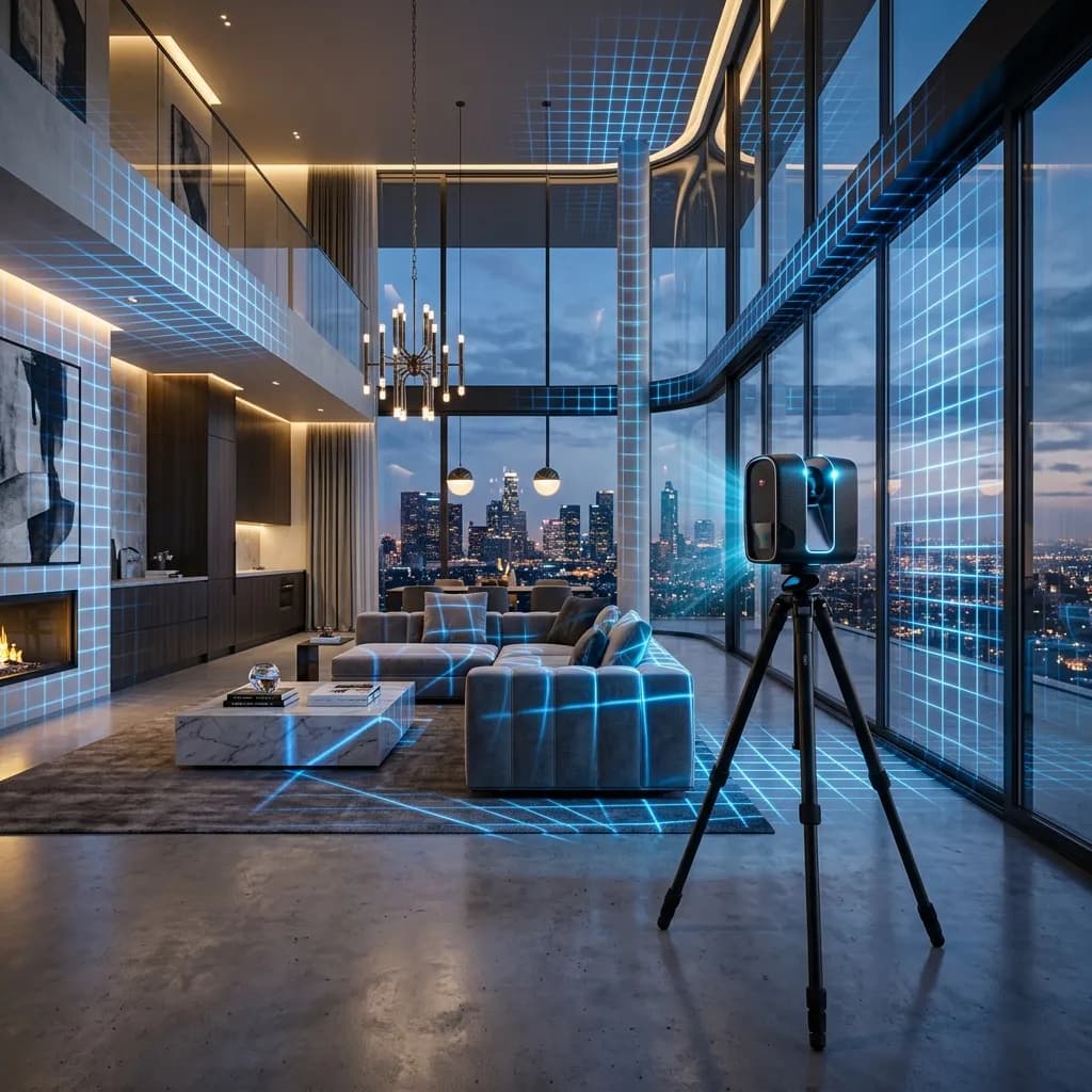
The most important trends in 3D surveying & laser scanning in 2026
Which new technologies and developments in 3D surveying & laser scanning are now changing the market.
For architects, civil engineers, appraisers, and asset managers, a precise existing condition survey is the incontrovertible foundation of every project. An incorrect floor plan at the start of a major renovation leads to work stoppages, massive budget overruns, and legal disputes months later.
Manual measurement with a folding rule, clipboard, and laser distance meter is definitively a relic of the past in 2026. The industry has radically professionalized: 3D laser scanning (LiDAR) and digital point clouds are now the industry standard. Yet the technology is evolving rapidly. In this B2B guide, we analyze the most important trends and disruptions in the field of 3D surveying for the year 2026.
1. Scan-to-BIM: Automation through AI Segmentation
Scanning a building is nowadays the easiest part of the work. The real challenge in recent years has been data processing. Manually remodeling a point cloud into a 3D CAD model (Revit, Archicad) often took days or weeks.
The AI Revolution (Semantic Segmentation): In 2026, AI algorithms (Machine Learning) solve this bottleneck. When we load a point cloud (e.g., in .E57 format) with billions of measurement points into the software, the AI automatically recognizes semantic structures. The algorithm classifies completely autonomously: This is a load-bearing wall, this is a heating pipe, this is a double-wing window.
The notorious Scan-to-BIM process (Building Information Modeling) is partially automated as a result. The AI generates initial raw models, which the BIM designer only needs to check and refine. This drastically reduces the costs of creating a digital twin and massively shortens the delivery times for architects.
2. The Rise of SLAM Technology (Mobile Mapping)
Terrestrial laser scanning (TLS) – that is, working with heavy scanners from Faro or Leica on a tripod – delivers unsurpassed millimeter accuracy. For many real estate projects (e.g., the quick rental of commercial spaces or simple 2D floor plans), however, TLS is often an 'overkill' in terms of time and budget.
SLAM on the rise:
In 2026, SLAM technology (Simultaneous Localization and Mapping) dominates. In these mobile mapping systems, the operator walks through the building at normal walking speed with a handheld scanner (or a backpack system). The scanner captures millions of points per second while moving and calculates its own position in space in real time.
The advantage: A 10,000 square meter office complex can be surveyed in a single day – a productivity increase of up to 80% compared to stationary scanning.
3. Merging of Indoor and Outdoor LiDAR (Drones)
A classic 3D scanner captures buildings from the inside and from the street. But what about the roof, the rear facades, or inaccessible courtyards? So far, these have often been "blind spots" in the digital twin.
UAV LiDAR (Drone Scans):
The absolute standard in 2026 is sensor fusion. Highly specialized industrial drones (such as the DJI Zenmuse L2 series) are now equipped with lightweight, extremely powerful LiDAR sensors.
While the operator scans the building from the inside, the drone flies over the roof and the facade structure with centimeter precision. Both point clouds are (often fully automatically using GPS and RTK data) precisely overlaid in the cloud. The result is a seamless, georeferenced 3D model of the entire property.
4. Real-time Collaboration & Cloud Streaming
Just three years ago, the data management of point clouds was a logistical nightmare. Individual scans were often hundreds of gigabytes (GB) in size. External SSD drives were sent by courier to the architecture office.
The cloud solves the data problem: Today, collaboration happens in the cloud. Platforms like Matterport (known especially for virtual 3D tours in real estate sales) or Autodesk Construction Cloud stream extremely compressed voxel data (similar to how Netflix streams a 4K movie) directly into the architect's or client's web browser.
Project teams around the world can simultaneously measure in the same point cloud, attach notes (Mattertags), and perform clash detection for planned renovations without having to download a single terabyte of raw data to their local computer.
5. Democratization of Scanning: The iPad Pro as an Entry Point
A trend not to be underestimated is the 'democratization' of scanning. Apple has made LiDAR sensors standard in the iPhone Pro and iPad Pro.
For highly precise architectural planning, where every millimeter matters, this consumer hardware will still not be sufficient in 2026 (noise, limited range, drift issues). But for real estate agents who want to quickly create a basic property listing, or for craftsmen (e.g., tilers) who need a rough measurement for a quote, these mobile LiDAR solutions are now completely suitable. This raises awareness across the entire market about the benefits of 3D data.
Conclusion: The Data Infrastructure of Tomorrow
3D laser scanning is no longer just a modern alternative to the measuring tape in 2026 – it is the indispensable data backbone of the entire real estate and construction industry.
Those who miss the integration of point clouds and BIM into their workflows lose connection to efficient planning processes, struggle with expensive construction errors, and disqualify themselves from public and large-scale commercial tenders.
FotoEstate bundles these leading technologies (from Matterport Pro3 to drone photogrammetry) into a scalable B2B service. We do not deliver raw, unstructured data piles, but finished, cloud-based digital twins and to-scale plans. Make your real estate management future-proof and error-free.
Related articles
Explore 3D surveying & laser scanning
See what the service includes, which source material is useful and how a typical project starts.